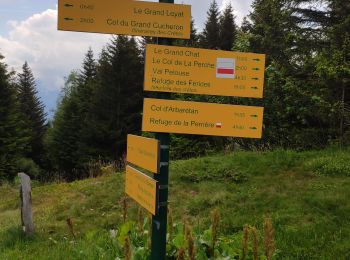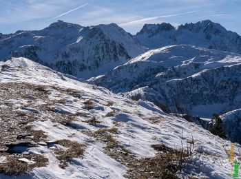
- Trails
- On foot
- France
- Auvergne-Rhône-Alpes
- Savoy
- La Table
La Table, Savoy, On foot: Best trails, routes and walks
La Table: Discover the best trails: 6 walking. All these trails, routes and outdoor activities are available in our SityTrail applications for smartphones and tablets.
The best trails (6)

Km
#1 - 26 juin 2020 previeux


Walking
Medium
La Table,
Auvergne-Rhône-Alpes,
Savoy,
France

16.8 km | 31 km-effort
6h 20min

1080 m

1075 m
Yes
Parodie69

Km
#2 - Une traversée du Sommet du Grand Chat 1992m, depuis Prévieux


Walking
Medium
La Table,
Auvergne-Rhône-Alpes,
Savoy,
France

15.7 km | 28 km-effort
5h 45min

962 m

949 m
Yes
tracegps

Km
#3 - Belledonne - Grand chat


Walking
Very difficult
La Table,
Auvergne-Rhône-Alpes,
Savoy,
France

16.5 km | 31 km-effort
5h 43min

1067 m

1066 m
Yes
algecko

Km
#4 - Route traversée des grand chats option chapotet


Walking
Very difficult
La Table,
Auvergne-Rhône-Alpes,
Savoy,
France

16 km | 30 km-effort
5h 46min

1075 m

1068 m
Yes
Parodie69

Km
#5 - dimanche


Walking
Easy
La Table,
Auvergne-Rhône-Alpes,
Savoy,
France

3.9 km | 4.9 km-effort
2h 37min

73 m

85 m
Yes
Mic Cote

Km
#6 - savoie1


Walking
Very easy
La Table,
Auvergne-Rhône-Alpes,
Savoy,
France

4.6 km | 6.5 km-effort
1h 42min

143 m

143 m
Yes
papa84
6 trails displayed on 6
FREE GPS app for hiking


 SityTrail


