


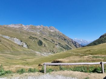
13.6 km | 26 km-effort
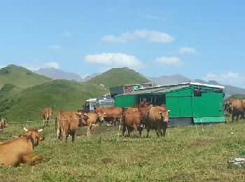
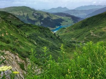
Aime-la-Plagne: Discover the best trails: 2 on foot, 117 walking, 1 nordic walking, 1 running and 2 trail. All these trails, routes and outdoor activities are available in our SityTrail applications for smartphones and tablets.
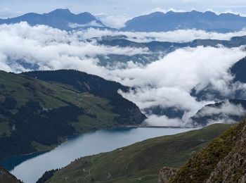
Walking


On foot
• Trail created by Office de Tourisme de la Plagne.
On foot
• Trail created by Office de Tourisme de la Plagne.

Walking
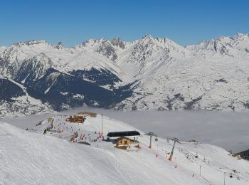
Walking
Walking
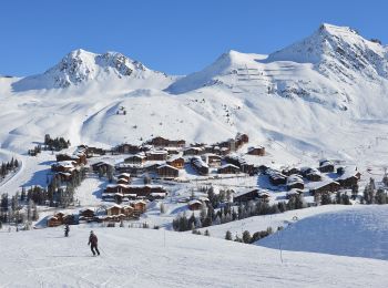
Walking
Walking
Walking
Walking
Walking
Walking
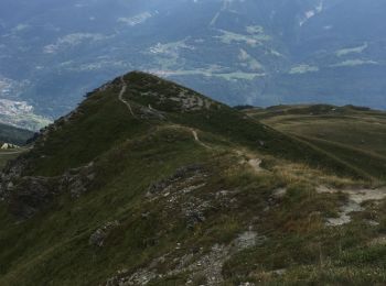
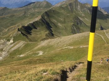
• Circuit par les cretes depuis La Combe, Roche a Jonathan, pte du col, Dzonfie, Pte de Bagnaz, Quermoz et retour a La ...
Walking
• Jarset, Jovet dre dans l'pentu, Becoin par les cretes et retour par Aime2000 et Les Frasses
Walking
Walking
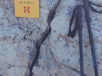
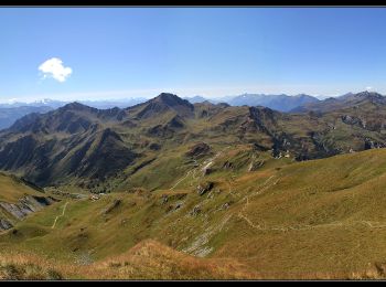
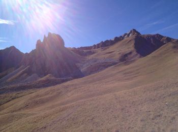
• Sentier des crêtes
Walking
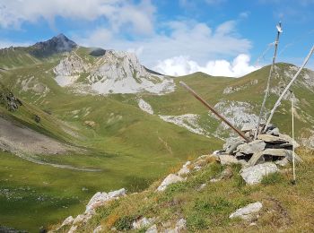
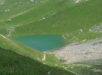
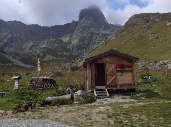
• Col du coin , lac d'amour , col du tutu , col du bresson
Walking
Walking
Walking
Walking
20 trails displayed on 123
FREE GPS app for hiking
 SityTrail
IGN / Geographical institutes
SityTrail World
The world is yours!