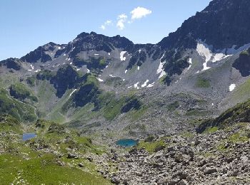
Pinsot, Le Haut-Bréda, On foot: Best trails, routes and walks

1 comments

Pinsot: Discover the best trails: 1 on foot and 40 walking. All these trails, routes and outdoor activities are available in our SityTrail applications for smartphones and tablets.


The best trails (41)
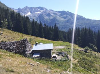
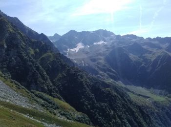
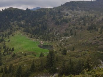
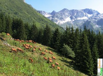
Trail Walking Le Haut-Bréda - Lac de Moretan avec bivouac  - Photo
Walking 22.189
Km
GUIDE

Walking

Difficult
Le Haut-Bréda, Auvergne-Rhône-Alpes, Isère, France
22 km | 44 km-effort
9h 4min
1662 m
1673 m
Yes
nadd73

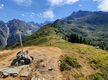
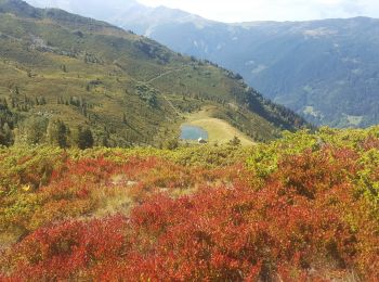
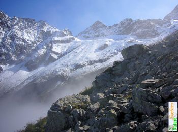
Trail Walking Le Haut-Bréda - Montagne de Périoule - Photo
Walking 12.155
Km
GUIDE

Walking

Difficult
Le Haut-Bréda, Auvergne-Rhône-Alpes, Isère, France
12.2 km | 29 km-effort
4h 36min
1277 m
1263 m
Yes
nadd73

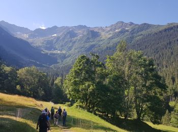
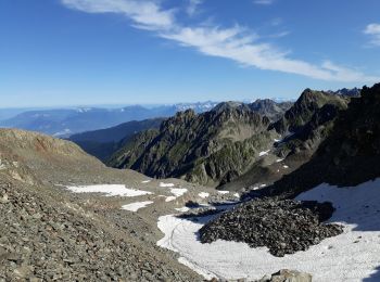
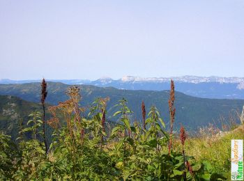
Trail Walking Le Haut-Bréda - Refuge de l'Oule - Croix et Lac du Léat - Photo
Walking 11.541
Km

Walking

Very difficult
Le Haut-Bréda, Auvergne-Rhône-Alpes, Isère, France
11.5 km | 25 km-effort
6h 32min
975 m
975 m
Yes
GuyVachet

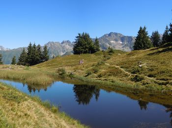
Trail Walking Le Haut-Bréda - Lac et Croix du Léat - Photo
Walking 11.056
Km

Walking

Difficult
Le Haut-Bréda, Auvergne-Rhône-Alpes, Isère, France
11.1 km | 22 km-effort
6h 20min
813 m
813 m
Yes
patjobou

Trail On foot Le Haut-Bréda - Tour Pays Allevard - Photo
On foot 5.419
Km
GUIDE+

On foot

Easy
Le Haut-Bréda, Auvergne-Rhône-Alpes, Isère, France
5.4 km | 10.8 km-effort
2h 27min
536 m
12 m
No
SityTrail - itinéraires balisés pédestres

Trail Walking Le Haut-Bréda - 02 juin 2023 glezin - Photo
Walking 13.76
Km

Walking

Difficult
Le Haut-Bréda, Auvergne-Rhône-Alpes, Isère, France
13.8 km | 28 km-effort
6h 55min
1031 m
1033 m
Yes
Parodie69

Trail Walking Le Haut-Bréda - Croix et lac du Leat  et Pierre du Pin, via le chalet du Bout - Photo
Walking 11.84
Km

Walking

Medium
(1)
Le Haut-Bréda, Auvergne-Rhône-Alpes, Isère, France
11.8 km | 24 km-effort
6h 0min
926 m
918 m
Yes
ranchoup

Trail Walking Le Haut-Bréda - moretan par la bourgeat blanche - Photo
Walking 73.554
Km

Walking

Very easy
Le Haut-Bréda, Auvergne-Rhône-Alpes, Isère, France
74 km | 103 km-effort
9h 17min
1945 m
2954 m
No
vitteema

Trail Walking Le Haut-Bréda - la Grande Valloire par le refuge de l'Oule - Photo
Walking 11.16
Km

Walking

Very difficult
Le Haut-Bréda, Auvergne-Rhône-Alpes, Isère, France
11.2 km | 26 km-effort
6h 46min
942 m
1644 m
No
GuyVachet

Trail Walking Le Haut-Bréda - lac du leat - Photo
Walking 11.536
Km

Walking

Medium
Le Haut-Bréda, Auvergne-Rhône-Alpes, Isère, France
11.5 km | 21 km-effort
6h 46min
692 m
689 m
Yes
goizet

Trail Walking Le Haut-Bréda - refuge de l'oulle - Photo
Walking 11.095
Km

Walking

Medium
Le Haut-Bréda, Auvergne-Rhône-Alpes, Isère, France
11.1 km | 24 km-effort
4h 59min
975 m
976 m
Yes
druilhe

Trail Walking Le Haut-Bréda - Le Sentier de Fer depuis Perchetan - Pinsot - Photo
Walking 14.826
Km

Walking

Easy
Le Haut-Bréda, Auvergne-Rhône-Alpes, Isère, France
14.8 km | 27 km-effort
7h 0min
949 m
949 m
Yes
tracegps

Trail Walking Le Haut-Bréda - La Montagne de Périoule 2368m, depuis le Cohard - Photo
Walking 11.447
Km

Walking

Medium
Le Haut-Bréda, Auvergne-Rhône-Alpes, Isère, France
11.4 km | 27 km-effort
7h 0min
1149 m
1149 m
Yes
tracegps

Trail Walking Le Haut-Bréda - Pic Nord de Berlanche  2161m - Photo
Walking 11.075
Km

Walking

Medium
Le Haut-Bréda, Auvergne-Rhône-Alpes, Isère, France
11.1 km | 23 km-effort
5h 45min
907 m
907 m
Yes
tracegps

Trail Walking Le Haut-Bréda - Du refuge de l'Oule à la Croix du Léat, depuis Gleyzin - Photo
Walking 11.604
Km

Walking

Medium
Le Haut-Bréda, Auvergne-Rhône-Alpes, Isère, France
11.6 km | 28 km-effort
6h 15min
1232 m
1232 m
Yes
tracegps

Trail Walking Le Haut-Bréda - Col du Vay ou de l'Envers, 2297m - Photo
Walking 10.927
Km

Walking

Medium
Le Haut-Bréda, Auvergne-Rhône-Alpes, Isère, France
10.9 km | 25 km-effort
6h 0min
1081 m
1081 m
Yes
tracegps

Trail Walking Le Haut-Bréda - Croix du Léat,  Pierre des Pins, Lac et  chalet du Léat en passant par le chalet du bout - Photo
Walking 45.671
Km

Walking

Medium
Le Haut-Bréda, Auvergne-Rhône-Alpes, Isère, France
46 km | 65 km-effort
4h 15min
1356 m
1831 m
No
Zasa

Trail Walking Le Haut-Bréda - ENS du Praillet - Photo
Walking 11.037
Km

Walking

Medium
Le Haut-Bréda, Auvergne-Rhône-Alpes, Isère, France
11 km | 21 km-effort
7h 17min
763 m
761 m
Yes
GuyVachet

Trail Walking Le Haut-Bréda - col du Vey - Photo
Walking 12.715
Km

Walking

Difficult
Le Haut-Bréda, Auvergne-Rhône-Alpes, Isère, France
12.7 km | 29 km-effort
7h 33min
1190 m
1179 m
Yes
bymarc26

Trail Walking Le Haut-Bréda - Refuge de l'Oule - Photo
Walking 9.517
Km

Walking

Medium
Le Haut-Bréda, Auvergne-Rhône-Alpes, Isère, France
9.5 km | 22 km-effort
4h 29min
952 m
953 m
No
makounet

20 trails displayed on 41

FREE GPS app for hiking

Logo SityTrail SityTrail

IGN / Geographical institutes

Download SityTrail from the App Store Download SityTrail from Google Play

Logo SityTrail SityTrail World

The world is yours!

Download SityTrail from the App Store Download SityTrail from Google Play Download SityTrail on Huawei AppGallery

Activities

Close
My subscriptions