


13.6 km | 23 km-effort
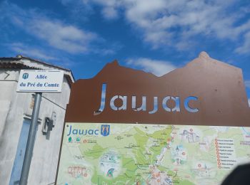
Jaujac: Discover the best trails: 1 on foot, 75 walking and 1 running. All these trails, routes and outdoor activities are available in our SityTrail applications for smartphones and tablets.
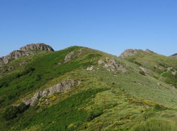
Walking


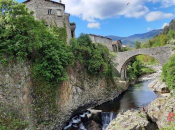
Walking
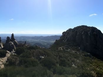
Walking
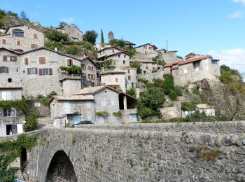
Walking
Walking
Walking
Walking

Running
• la cham du cros depuis la croix de millet. Départ par la piste de la croix de bauzon jusqu'au col du merle. Retour pa...

Walking

Walking
Walking
Walking
Walking

Walking
Walking
Walking
Walking
Walking
Walking
Walking
20 trails displayed on 77
FREE GPS app for hiking
 SityTrail
IGN / Geographical institutes
SityTrail World
The world is yours!