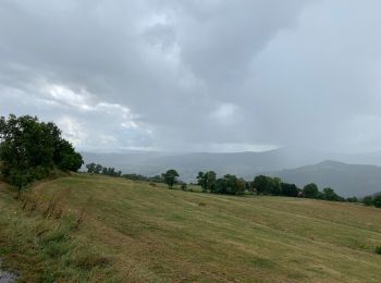
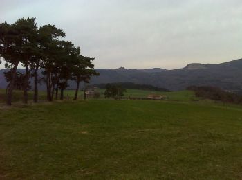
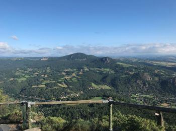
Chamalières-sur-Loire, Haute-Loire, On foot: Best trails, routes and walks

Chamalières-sur-Loire: Discover the best trails: 1 on foot, 10 walking and 1 running. All these trails, routes and outdoor activities are available in our SityTrail applications for smartphones and tablets.


The best trails (12)
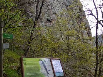
Trail Walking Chamalières-sur-Loire - Suc de Bartou - Rocher de Costaros - Photo
Walking 4.489
Km

Walking

Medium
Chamalières-sur-Loire, Auvergne-Rhône-Alpes, Haute-Loire, France
4.5 km | 7 km-effort
1h 20min
191 m
191 m
Yes
Jackoyo

Trail Walking Chamalières-sur-Loire - Le rocher de Costaros - Photo
Walking 7.828
Km

Walking

Medium
Chamalières-sur-Loire, Auvergne-Rhône-Alpes, Haute-Loire, France
7.8 km | 11.4 km-effort
2h 21min
271 m
271 m
Yes
Jean-MarieFaux

Trail Walking Chamalières-sur-Loire - Les 4 Sucs - Chamalières sur Loire - Photo
Walking 9.576
Km

Walking

Medium
Chamalières-sur-Loire, Auvergne-Rhône-Alpes, Haute-Loire, France
9.6 km | 13.2 km-effort
2h 30min
274 m
275 m
Yes
tracegps

Trail Walking Chamalières-sur-Loire - Suc de Bartou - Photo
Walking 3.91
Km

Walking

Medium
Chamalières-sur-Loire, Auvergne-Rhône-Alpes, Haute-Loire, France
3.9 km | 6.2 km-effort
1h 24min
173 m
173 m
Yes
Iahns

Trail Walking Chamalières-sur-Loire - chamalieres 43 mont gerbizon - Photo
Walking 13.244
Km

Walking

Very easy
Chamalières-sur-Loire, Auvergne-Rhône-Alpes, Haute-Loire, France
13.2 km | 21 km-effort
4h 54min
603 m
599 m
Yes
daniele.meilland

• longue montee et descente rapide

Trail Walking Chamalières-sur-Loire - Autour de Chamalières - Photo
Walking 9.748
Km

Walking

Difficult
Chamalières-sur-Loire, Auvergne-Rhône-Alpes, Haute-Loire, France
9.7 km | 14 km-effort
3h 14min
323 m
317 m
Yes
anniejeanluc

Trail On foot Chamalières-sur-Loire - Le Suc de Bartou - Photo
On foot 11.284
Km

On foot

Difficult
Chamalières-sur-Loire, Auvergne-Rhône-Alpes, Haute-Loire, France
11.3 km | 18.3 km-effort
4h 10min
529 m
529 m
Yes
marcgiraud

Trail Walking Chamalières-sur-Loire - Chamalieres sur Loire mont gerbizon mézères  - Photo
Walking 22.605
Km

Walking

Very difficult
Chamalières-sur-Loire, Auvergne-Rhône-Alpes, Haute-Loire, France
23 km | 35 km-effort
7h 55min
920 m
919 m
Yes
boyer43

Trail Walking Chamalières-sur-Loire - Chamalieres sur Loire Retournaguet St Julien du Pinet Mezere Blanhac Chamaliere - Photo
Walking 22.439
Km

Walking

Very difficult
Chamalières-sur-Loire, Auvergne-Rhône-Alpes, Haute-Loire, France
22 km | 31 km-effort
7h 7min
668 m
666 m
Yes
boyer43

Trail Walking Chamalières-sur-Loire - Chamalières sur Loire - Photo
Walking 17.223
Km

Walking

Very difficult
Chamalières-sur-Loire, Auvergne-Rhône-Alpes, Haute-Loire, France
17.2 km | 0 m-effort
4h 55min
0 m
0 m
Yes
taguette

Trail Walking Chamalières-sur-Loire - Gerbizon - Photo
Walking 10.534
Km

Walking

Medium
Chamalières-sur-Loire, Auvergne-Rhône-Alpes, Haute-Loire, France
10.5 km | 18.1 km-effort
1h 59min
571 m
572 m
Yes
skwick

Trail Running Chamalières-sur-Loire - Autour de chamaoiere  - Photo
Running 5.17
Km

Running

Medium
Chamalières-sur-Loire, Auvergne-Rhône-Alpes, Haute-Loire, France
5.2 km | 8.1 km-effort
49min
217 m
218 m
Yes
skwick

12 trails displayed on 12

FREE GPS app for hiking

Logo SityTrail SityTrail

IGN / Geographical institutes

Download SityTrail from the App Store Download SityTrail from Google Play

Logo SityTrail SityTrail World

The world is yours!

Download SityTrail from the App Store Download SityTrail from Google Play Download SityTrail on Huawei AppGallery

Activities

Close
My subscriptions