Lus-la-Croix-Haute, Drôme, On foot: Best trails, routes and walks

4 comments

Lus-la-Croix-Haute: Discover the best trails: 5 on foot, 119 walking, 1 nordic walking and 2 trail. All these trails, routes and outdoor activities are available in our SityTrail applications for smartphones and tablets.


The best trails (127)
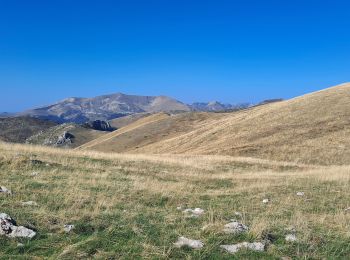
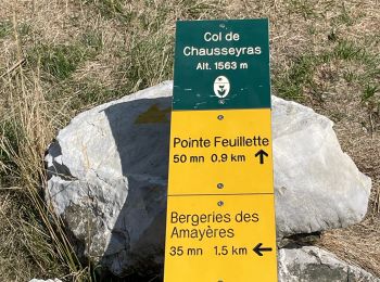
Trail Walking Lus-la-Croix-Haute - Pointe Feuillette - Photo
Walking 10.499
Km
GUIDE

Walking

Difficult
Lus-la-Croix-Haute, Auvergne-Rhône-Alpes, Drôme, France
10.5 km | 20 km-effort
4h 36min
732 m
732 m
Yes
Marco05

Trail Walking Lus-la-Croix-Haute - Tête de longue plate - Photo
Walking 10.977
Km
GUIDE

Walking

Difficult
Lus-la-Croix-Haute, Auvergne-Rhône-Alpes, Drôme, France
11 km | 26 km-effort
6h 40min
1137 m
1145 m
Yes
nadd73

Trail Walking Lus-la-Croix-Haute - R48 - Gorges des Amayères - Photo
Walking 10.346
Km
GUIDE+

Walking

Easy
Lus-la-Croix-Haute, Auvergne-Rhône-Alpes, Drôme, France
10.3 km | 17.5 km-effort
3h 1min
529 m
559 m
No
Camping Les Rives du Lac

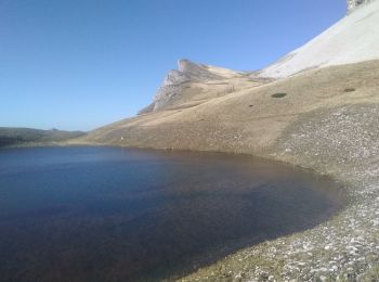
Trail Walking Lus-la-Croix-Haute - R41   le lac de Lauzon - Photo
Walking 8.061
Km
GUIDE+

Walking

Difficult
Lus-la-Croix-Haute, Auvergne-Rhône-Alpes, Drôme, France
8.1 km | 18.7 km-effort
3h 40min
799 m
800 m
Yes
Camping Les Rives du Lac

• "Long and beautiful hike from the wild valley of Jarjatte, to follow a steep climb on the alpine pastures to the lake...
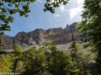
Trail Walking Lus-la-Croix-Haute - R38   Col des Aiguilles depuis Lus - Photo
Walking 5.597
Km
GUIDE+

Walking

Medium
Lus-la-Croix-Haute, Auvergne-Rhône-Alpes, Drôme, France
5.6 km | 15 km-effort
2h 53min
706 m
701 m
Yes
Camping Les Rives du Lac

• A second hike to associate with Roll'Herbe, a little longer than the Col de la Croix (R37). The Aiguilles pass marks ...
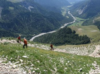
Trail Walking Lus-la-Croix-Haute - R37   Col de la Croix - Photo
Walking 3.652
Km
GUIDE+

Walking

Medium
Lus-la-Croix-Haute, Auvergne-Rhône-Alpes, Drôme, France
3.7 km | 7 km-effort
1h 27min
251 m
251 m
Yes
Camping Les Rives du Lac

• A short hike, family, without difficulty, to associate with some descents of Roll'Herbe! The view of the North (Trièv...

Trail Walking Lus-la-Croix-Haute - Le Rognon - Photo
Walking 12.271
Km

Walking

Medium
(1)
Lus-la-Croix-Haute, Auvergne-Rhône-Alpes, Drôme, France
12.3 km | 22 km-effort
4h 33min
761 m
761 m
Yes
GAPIAN43

• Ballade dans le Triève Le Rognon depuis les Siezes
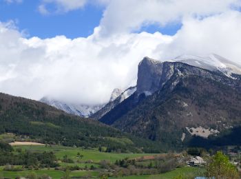
Trail On foot Lus-la-Croix-Haute - 2024-04-17_Au fil du Buech - Photo
On foot 7.499
Km

On foot

Easy
Lus-la-Croix-Haute, Auvergne-Rhône-Alpes, Drôme, France
7.5 km | 12.2 km-effort
2h 45min
349 m
349 m
Yes
Christiancordin

Trail On foot Lus-la-Croix-Haute - 2024-04-15_L'Aupillon - Photo
On foot 8.277
Km

On foot

Medium
Lus-la-Croix-Haute, Auvergne-Rhône-Alpes, Drôme, France
8.3 km | 14.5 km-effort
3h 17min
466 m
467 m
Yes
Christiancordin

Trail Walking Lus-la-Croix-Haute - Pointe feuillette  - Photo
Walking 11.441
Km

Walking

Medium
Lus-la-Croix-Haute, Auvergne-Rhône-Alpes, Drôme, France
11.4 km | 21 km-effort
4h 52min
751 m
753 m
Yes
ajd26

Trail Walking Lus-la-Croix-Haute - MAS REBUFAT - POINTE FEUILLETTE  - Photo
Walking 11.692
Km

Walking

Medium
Lus-la-Croix-Haute, Auvergne-Rhône-Alpes, Drôme, France
11.7 km | 20 km-effort
3h 33min
649 m
646 m
Yes
RD78-38

Trail Walking Lus-la-Croix-Haute - vallon jarjatte. lac lozon. col la croix - Photo
Walking 9.023
Km

Walking

Very difficult
Lus-la-Croix-Haute, Auvergne-Rhône-Alpes, Drôme, France
9 km | 19.9 km-effort
6h 31min
806 m
832 m
No
Matamimi

Trail Walking Lus-la-Croix-Haute - Antécime de La Toussière - Photo
Walking 8.564
Km

Walking

Difficult
Lus-la-Croix-Haute, Auvergne-Rhône-Alpes, Drôme, France
8.6 km | 17.4 km-effort
5h 44min
663 m
664 m
Yes
GuyVachet

Trail Walking Lus-la-Croix-Haute - Pic de l'Aigle en circuit - Photo
Walking 7.444
Km

Walking

Medium
Lus-la-Croix-Haute, Auvergne-Rhône-Alpes, Drôme, France
7.4 km | 16.2 km-effort
4h 17min
656 m
657 m
Yes
Emelle

Trail Walking Lus-la-Croix-Haute - col du charnier et lac lauzet - Photo
Walking 9.993
Km

Walking

Medium
Lus-la-Croix-Haute, Auvergne-Rhône-Alpes, Drôme, France
10 km | 23 km-effort
6h 4min
980 m
980 m
Yes
gibello

Trail Walking Lus-la-Croix-Haute - Le Col de Charnier - Photo
Walking 9.93
Km

Walking

Difficult
Lus-la-Croix-Haute, Auvergne-Rhône-Alpes, Drôme, France
9.9 km | 23 km-effort
6h 0min
959 m
963 m
Yes
patjobou

Trail Walking Lus-la-Croix-Haute - 26 jarjate cascade - Photo
Walking 9.919
Km

Walking

Very easy
(1)
Lus-la-Croix-Haute, Auvergne-Rhône-Alpes, Drôme, France
9.9 km | 15.6 km-effort
3h 40min
425 m
425 m
Yes
guy07

Trail Walking Lus-la-Croix-Haute - L Aiguille ou Le Haut Bouffet - Photo
Walking 10.683
Km

Walking

Medium
Lus-la-Croix-Haute, Auvergne-Rhône-Alpes, Drôme, France
10.7 km | 23 km-effort
6h 0min
957 m
952 m
Yes
patjobou

Trail Walking Lus-la-Croix-Haute - PARKING SABOYER - LAC DU LAUZON-01-08-2017 - Photo
Walking 10.626
Km

Walking

Difficult
Lus-la-Croix-Haute, Auvergne-Rhône-Alpes, Drôme, France
10.6 km | 22 km-effort
7h 6min
876 m
877 m
Yes
RD78-38

• Très beau circuit avec des vues superbes (cf.Photos) Dommage que nous n'ayons pu faire la boucle prévue passant après...
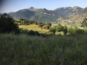
Trail Walking Lus-la-Croix-Haute - Les SEIZE-SOMMET DE LAUP et Retour par même itinéraire  - Photo
Walking 12.348
Km

Walking

Easy
Lus-la-Croix-Haute, Auvergne-Rhône-Alpes, Drôme, France
12.3 km | 20 km-effort
4h 51min
606 m
605 m
Yes
RD78-38

• Superbes vues et paysages (cf.photos) le long de cette Randonnée facile. Seule la montée du sommet de l'AUP peut-être...

20 trails displayed on 127

FREE GPS app for hiking

Logo SityTrail SityTrail

IGN / Geographical institutes

Download SityTrail from the App Store Download SityTrail from Google Play

Logo SityTrail SityTrail World

The world is yours!

Download SityTrail from the App Store Download SityTrail from Google Play Download SityTrail on Huawei AppGallery

Activities

Close
My subscriptions