


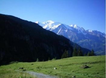
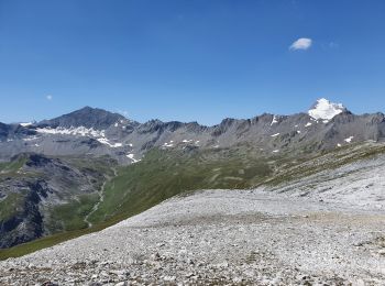
9 km | 14.3 km-effort
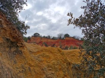
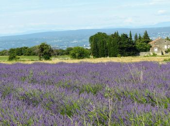
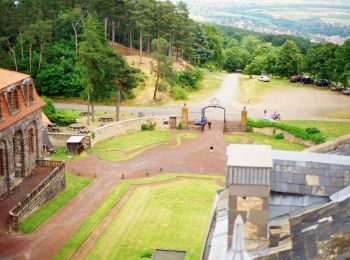
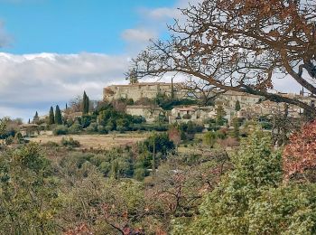
Auvergne-Rhône-Alpes: Discover the best trails: 2921 on foot, 51380 walking, 1064 nordic walking, 1552 running and 1063 trail. All these trails, routes and outdoor activities are available in our SityTrail applications for smartphones and tablets.
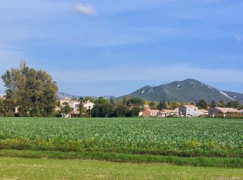
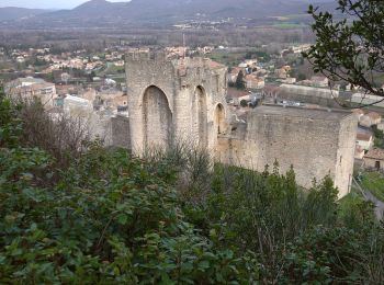
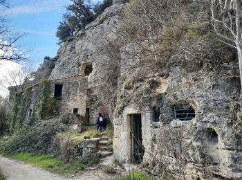
Walking


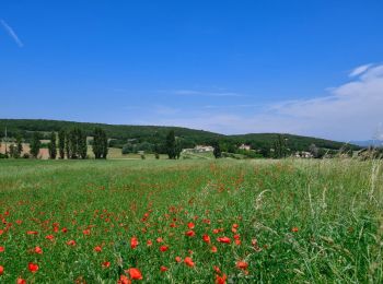
Walking
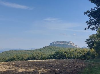
Walking
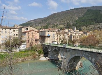
Walking
Walking
Walking
Walking
Walking
Walking
Walking
• Le Rouvergue
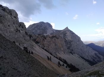
On foot
• Trail created by CD63.
Walking
Walking
Walking
Walking
Walking

Walking
Walking
Walking
Walking
20 trails displayed on 57801
FREE GPS app for hiking
 SityTrail
IGN / Geographical institutes
SityTrail World
The world is yours!