Coyolles, Aisne, On foot: Best trails, routes and walks

Coyolles: Discover the best trails: 6 walking. All these trails, routes and outdoor activities are available in our SityTrail applications for smartphones and tablets.


The best trails (6)
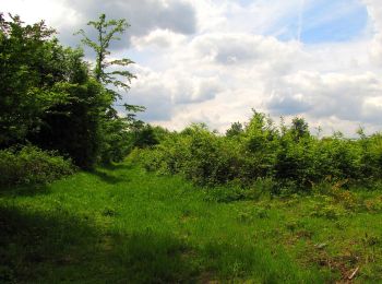
Trail Walking Coyolles - en forêt de Retz_78_les rayons du Rond Capitaine - Photo
Walking 16.557
Km

Walking

Very difficult
Coyolles, Hauts-de-France, Aisne, France
16.6 km | 19.5 km-effort
4h 52min
224 m
224 m
Yes
en forêt de Retz

Trail Walking Coyolles - en foret de Retz_ 40_Vaumoise_les bruyères de Gondreville_Chavres_AR - Photo
Walking 20.664
Km

Walking

Difficult
Coyolles, Hauts-de-France, Aisne, France
21 km | 24 km-effort
5h 6min
262 m
262 m
Yes
en forêt de Retz

• voir aussi: http://foret-de-retz.over-blog.com/ 10/2015 batterie pour iphone indispensable. A partir de Vaumoise, ...
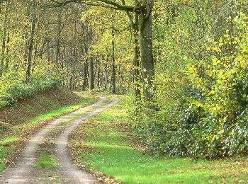
Trail Walking Coyolles - Les bruyères de Gondreville - Photo
Walking 5.474
Km

Walking

Medium
Coyolles, Hauts-de-France, Aisne, France
5.5 km | 6.6 km-effort
1h 45min
85 m
84 m
Yes
tracegps

Trail Walking Coyolles - La cave du diable - Photo
Walking 5.329
Km

Walking

Medium
Coyolles, Hauts-de-France, Aisne, France
5.3 km | 6.5 km-effort
1h 30min
85 m
86 m
Yes
tracegps

Trail Walking Coyolles - autour de l'Enclave de Vauciennes - Photo
Walking 12.515
Km

Walking

Difficult
Coyolles, Hauts-de-France, Aisne, France
12.5 km | 14.8 km-effort
3h 21min
170 m
175 m
Yes
JeanLucA4

Trail Walking Coyolles - la cavée du diable - Photo
Walking 5.425
Km

Walking

Easy
Coyolles, Hauts-de-France, Aisne, France
5.4 km | 6.3 km-effort
1h 22min
62 m
62 m
Yes
patcaillou

6 trails displayed on 6

FREE GPS app for hiking

Logo SityTrail SityTrail

IGN / Geographical institutes

Download SityTrail from the App Store Download SityTrail from Google Play

Logo SityTrail SityTrail World

The world is yours!

Download SityTrail from the App Store Download SityTrail from Google Play Download SityTrail on Huawei AppGallery

Activities

Close
My subscriptions