Bavinchove, Nord, On foot: Best trails, routes and walks

Bavinchove: Discover the best trails: 1 on foot, 4 walking and 1 nordic walking. All these trails, routes and outdoor activities are available in our SityTrail applications for smartphones and tablets.


The best trails (6)
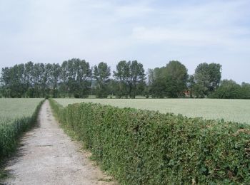
Trail Walking Bavinchove - Circuit du Val de Cassel (version courte) - Bavinchove - Photo
Walking 12.594
Km

Walking

Difficult
Bavinchove, Hauts-de-France, Nord, France
12.6 km | 13.8 km-effort
3h 10min
89 m
90 m
Yes
tracegps

Trail Walking Bavinchove - Circuit du Val de Cassel (version longue) - Bavinchove - Photo
Walking 17.546
Km

Walking

Very difficult
Bavinchove, Hauts-de-France, Nord, France
17.5 km | 19.2 km-effort
4h 25min
121 m
122 m
Yes
tracegps

Trail On foot Bavinchove - Cordillère de Flandres - Photo
On foot 51.496
Km

On foot

Medium
Bavinchove, Hauts-de-France, Nord, France
51 km | 64 km-effort
Unknown
926 m
903 m
No
Randonneur Club Marcquois

Trail Walking Bavinchove - Cordillère de Flandre jour 1 - Photo
Walking 29.553
Km

Walking

Medium
Bavinchove, Hauts-de-France, Nord, France
30 km | 36 km-effort
Unknown
470 m
460 m
No
Randonneur Club Marcquois

Trail Walking Bavinchove - 15km Bavinchove - Photo
Walking 15.35
Km

Walking

Easy
Bavinchove, Hauts-de-France, Nord, France
15.3 km | 17.8 km-effort
3h 0min
184 m
183 m
Yes
eaea7charles

Trail Nordic walking Bavinchove - autour de Cassel - Photo
Nordic walking 14.817
Km

Nordic walking

Easy
Bavinchove, Hauts-de-France, Nord, France
14.8 km | 17.1 km-effort
2h 37min
169 m
169 m
Yes
lima77

6 trails displayed on 6

FREE GPS app for hiking

Logo SityTrail SityTrail

IGN / Geographical institutes

Download SityTrail from the App Store Download SityTrail from Google Play

Logo SityTrail SityTrail World

The world is yours!

Download SityTrail from the App Store Download SityTrail from Google Play Download SityTrail on Huawei AppGallery

Activities

Close
My subscriptions