


4 km | 5.7 km-effort
Huesca: Discover the best trails: 28 on foot, 358 walking, 1 nordic walking and 2 trail. All these trails, routes and outdoor activities are available in our SityTrail applications for smartphones and tablets.
Walking


• Départ du parking, col des Espécières en laissant le lac en contrebas à droite. Crête vers l'ouest puis direction No...
Walking
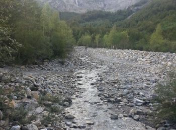
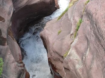
• cascades magnifiques
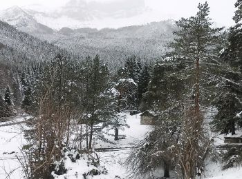
On foot
• Trail created by DPH.
On foot
• Trail created by Turismo Somontano.
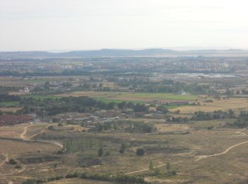
On foot
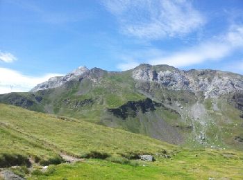
• La Senda de Camille es una travesía circular por etapas en el Parque Natural de los Valles Occidentales y Parque Naci...
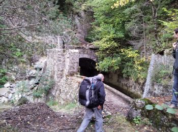
On foot
• La Senda de Camille es una travesía circular por etapas en el Parque Natural de los Valles Occidentales y Parque Naci...
On foot
• Trail created by Pablo Marcuello. edición 2017
On foot
• Trail created by Comarca de la Hoya de Huesca/Plana d'Uesca.
On foot
• La Senda de Camille es una travesía circular por etapas en el Parque Natural de los Valles Occidentales y Parque Naci...
Walking
Walking
Walking
Walking
Walking
Walking
Walking
Walking
Walking
Walking
Walking
20 trails displayed on 389
FREE GPS app for hiking
 SityTrail
IGN / Geographical institutes
SityTrail World
The world is yours!