


42 km | 54 km-effort
Sarria: Discover the best trails: 13 walking and 1 nordic walking. All these trails, routes and outdoor activities are available in our SityTrail applications for smartphones and tablets.
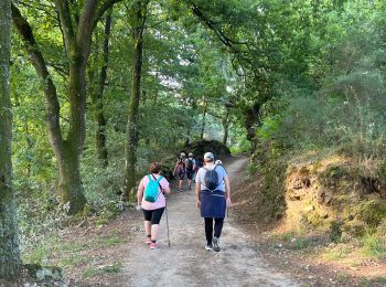
Walking


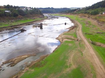
Walking
Walking
Walking
Walking
Walking
Walking

Walking
Walking
Walking
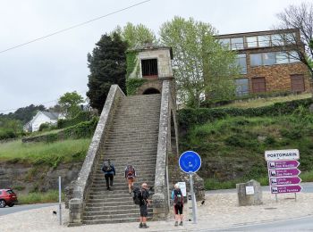
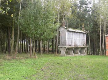
• Pintin. Portomarin
Walking

Nordic walking
Walking
Walking
14 trails displayed on 14
FREE GPS app for hiking
 SityTrail
IGN / Geographical institutes
SityTrail World
The world is yours!