


7.7 km | 9.3 km-effort
Guadalajara: Discover the best trails: 4 on foot. All these trails, routes and outdoor activities are available in our SityTrail applications for smartphones and tablets.
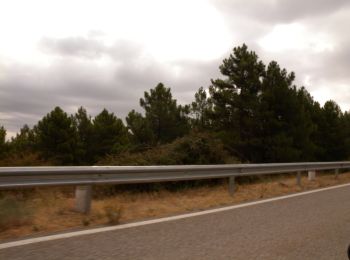
On foot


• Website: http://www.madrid.org/bvirtual/BVCM008590.pdf
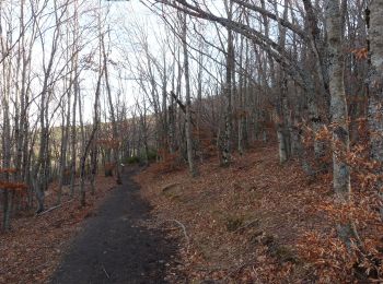
On foot
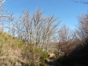
On foot

On foot
4 trails displayed on 4
FREE GPS app for hiking
 SityTrail
IGN / Geographical institutes
SityTrail World
The world is yours!