


4.1 km | 4.6 km-effort
Winsen (Aller): Discover the best trails: 4 on foot. All these trails, routes and outdoor activities are available in our SityTrail applications for smartphones and tablets.
On foot


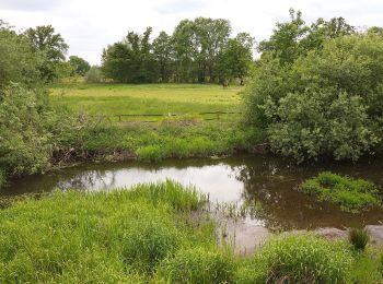
• Die Wanderung führt durch das Waldgebiet östlich von Wolthausen. Teile der Tour verlaufen am Talrand der Örtze- Niede...
On foot
• Die Wanderung führt durch das Waldgebiet östlich von Wolthausen. Teile der Tour verlaufen am Talrand der Örtze-Nieder...
On foot
• Trail created by Lüneburger Heide GmbH.
On foot
4 trails displayed on 4
FREE GPS app for hiking
 SityTrail
IGN / Geographical institutes
SityTrail World
The world is yours!