


4.6 km | 5.8 km-effort
Bad Emstal: Discover the best trails: 15 on foot. All these trails, routes and outdoor activities are available in our SityTrail applications for smartphones and tablets.
On foot


• Streckenverlauf unvollständig da nicht komplett bekannt
On foot
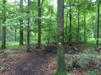
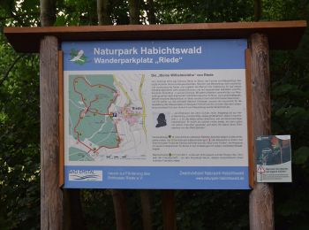
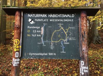
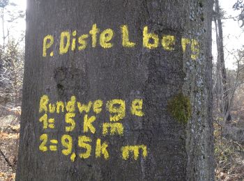
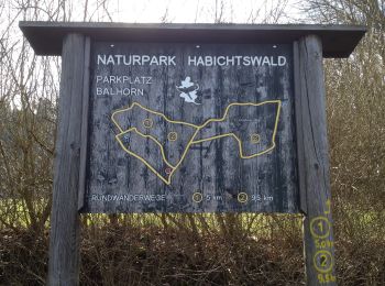
• Trail created by Zweckverband Naturpark Habichtswald.
On foot
• Trail created by Hessisch-Waldeckischer Gebirgs- und Heimatverein(HWGHV).
On foot
• Trail created by Zweckverband Naturpark Habichtswald.
On foot
On foot
On foot
On foot
On foot
On foot
On foot
On foot
On foot
On foot

On foot
• Es ist eine zauberhafte Tour durch satte Wiesentäler und tiefe Naturwälder, entlang an Waldrändern mit weiten Blicken...
15 trails displayed on 15
FREE GPS app for hiking
 SityTrail
IGN / Geographical institutes
SityTrail World
The world is yours!