


5.4 km | 7.2 km-effort
Helsa: Discover the best trails: 25 on foot. All these trails, routes and outdoor activities are available in our SityTrail applications for smartphones and tablets.
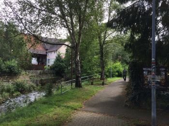
On foot


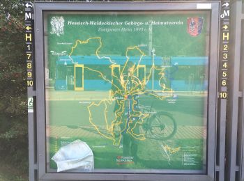
• Trail created by Hessisch-Waldeckischer Gebirgs- und Heimatverein(HWGHV).
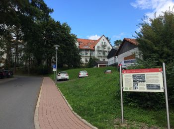
On foot
• Die Eco Pfade im Landkreis Kassel sollen dazu anregen, sich mit der Geschichte der Region zu beschäftigen, Zeugen der...
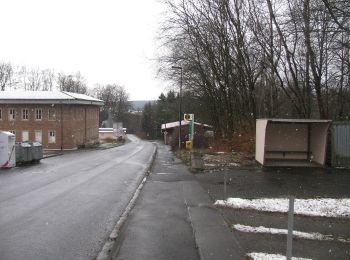
On foot
• Trail created by Hessisch-Waldeckischer Gebirgs- und Heimatverein(HWGHV).
On foot
• Symbol: gelbe 23 in gelben Kreis
On foot
• Wanderweg ist vom Parkplatz Lautenbach bis Wiener Platz nicht ausgeschildert
On foot
• Trail created by Hessisch-Waldeckischer Gebirgs- und Heimatverein(HWGHV).
On foot
• Trail created by Hessisch-Waldeckischer Gebirgs- und Heimatverein(HWGHV).
On foot
• Trail created by Hessisch-Waldeckischer Gebirgs- und Heimatverein(HWGHV).
On foot
• Trail created by Hessisch-Waldeckischer Gebirgs- und Heimatverein(HWGHV).
On foot
• Trail created by HWGHV. HWGHV => Hessisch-Waldeckischer Gebirgs- und Heimatverein e. V.
On foot
On foot
On foot
On foot
On foot
On foot
On foot
On foot
On foot
On foot
20 trails displayed on 25
FREE GPS app for hiking
 SityTrail
IGN / Geographical institutes
SityTrail World
The world is yours!