


24 km | 30 km-effort
Eltville am Rhein: Discover the best trails: 9 on foot. All these trails, routes and outdoor activities are available in our SityTrail applications for smartphones and tablets.
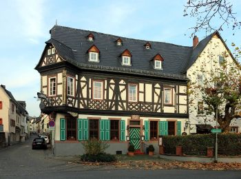
On foot


• Trail created by Stadt Eltville. Symbol: Grünes, aufgeschlagenes Buch mit großem, weißen G auf der linken Seite, sch...
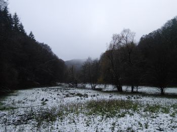
On foot
• Trail created by Romantischer Rhein Tourismus GmbH. Symbol: Stilisiertes weißes R auf gelbem Grund
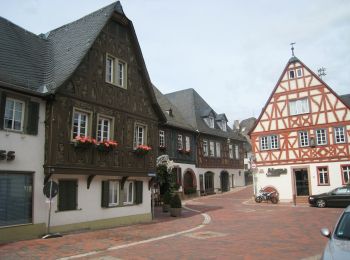
On foot
• Trail created by Romantischer Rhein Tourismus GmbH. Symbol: Stilisiertes weißes R auf gelbem Grund
On foot
• Trail created by Romantischer Rhein Tourismus GmbH. Symbol: Stilisiertes weißes R auf rotem Grund
On foot
• Symbol: 2 sich kreuzende Pfeile auf rotem Wappen
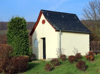
On foot
• Trail created by Naturpark Rhein-Taunus. Symbol: Roter Pilz auf weissem Grund
On foot
• Trail created by Rheingau-Wanderclub. Symbol: 3 Fässer
On foot
• Trail created by Naturpark Rhein-Taunus. Symbol: Rotmilan auf weißem Grund

On foot
• Trail created by Naturpark Rhein-Taunus. Symbol: grünes Eichenblatt auf weißem Grund
9 trails displayed on 9
FREE GPS app for hiking
 SityTrail
IGN / Geographical institutes
SityTrail World
The world is yours!