


4.3 km | 5.7 km-effort
Frei-Laubersheim: Discover the best trails: 3 on foot. All these trails, routes and outdoor activities are available in our SityTrail applications for smartphones and tablets.
On foot


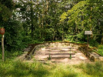
• Trail created by Gemeinde Frei-Laubersheim?. Wegmarkierungen scheinen nicht mehr gepflegt zu werden. Teils vermutete...
On foot
• Symbol: kleines Schreibschrift-h auf blau-grünem Grund
On foot
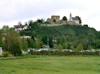
• Trail created by Gemeinde Frei-Laubersheim?. Wegmarkierungen scheinen nicht mehr gepflegt zu werden. Teils vermutete...
3 trails displayed on 3
FREE GPS app for hiking
 SityTrail
IGN / Geographical institutes
SityTrail World
The world is yours!