![](/images/other/stat-length.png)
Bassenheim, Landkreis Mayen-Koblenz, On foot: Best trails, routes and walks
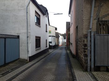
Bassenheim: Discover the best trails: 2 on foot. All these trails, routes and outdoor activities are available in our SityTrail applications for smartphones and tablets.
The best trails (2)
![Trail On foot Bassenheim - Rheinburgenweg Zugangsweg Mülheim-Kärlich - Photo](https://media.geolcdn.com/t/350/260/40522c46-143d-4718-adef-4fcf4d792791.jpeg&format=jpg&maxdim=2)
![On foot On foot](https://static1.geolcdn.com/sitytour/trail-icons/100.png)
Km
On foot
![](/images/other/stat-length.png)
![](https://static1.geolcdn.com/siteimages/upload/files/1508320355ic_sort_den_pos_24dp.png)
![](https://static1.geolcdn.com/siteimages/upload/files/1508320355ic_sort_den_neg_24dp.png)
![](https://static1.geolcdn.com/siteimages/upload/files/16400158638029165_repeat_loop_refresh_sync_direction_icon.png)
• Trail created by Romantischer Rhein Tourismus GmbH. Symbol: rot auf gelb: von den Zinnen eines Burgturmes gekröntes R
![Trail On foot Bassenheim - Keltenrundwanderweg - Photo](https://media.geolcdn.com/t/350/260/53c4b2a2-8243-474a-bff9-41efbef015b4.jpeg&format=jpg&maxdim=2)
![On foot On foot](https://static1.geolcdn.com/sitytour/trail-icons/100.png)
Km
On foot
![](/images/other/stat-length.png)
![](https://static1.geolcdn.com/siteimages/upload/files/1508320355ic_sort_den_pos_24dp.png)
![](https://static1.geolcdn.com/siteimages/upload/files/1508320355ic_sort_den_neg_24dp.png)
![](https://static1.geolcdn.com/siteimages/upload/files/16400158638029165_repeat_loop_refresh_sync_direction_icon.png)
• Trail created by Eifelverein. Symbol: grünes Quadrat mit schwarzer Beschriftung Text: Rundwanderweg Kelten Symbol: S...
2 trails displayed on 2
FREE GPS app for hiking