Bacharach, Landkreis Mainz-Bingen, On foot: Best trails, routes and walks

Bacharach: Discover the best trails: 3 on foot. All these trails, routes and outdoor activities are available in our SityTrail applications for smartphones and tablets.


The best trails (3)
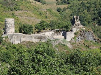
Trail On foot Bacharach - Rundwanderweg Esel (gelber Pfeil) - Photo
On foot 3.895
Km
GUIDE+

On foot

Easy
Bacharach, Rhineland-Palatinate, Landkreis Mainz-Bingen, Germany
3.9 km | 5.5 km-effort
1h 14min
115 m
134 m
No
SityTrail - itinéraires balisés pédestres

• Symbol: Schwarzer Esel, darunter gelber Pfeil auf weißem Schild
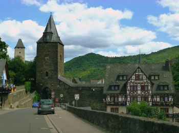
Trail On foot Bacharach - RheinBurgenWeg Rundtour - Stahlberg-Schleife - Photo
On foot 12.798
Km
GUIDE+

On foot

Easy
Bacharach, Rhineland-Palatinate, Landkreis Mainz-Bingen, Germany
12.8 km | 19.2 km-effort
4h 21min
478 m
477 m
Yes
SityTrail - itinéraires balisés pédestres

• Symbol: weiß auf rot: von den Zinnen eines Burgturmes gekröntes R

Trail On foot Bacharach - Rheinburgenweg Zugangsweg Ruine Stahlberg - Photo
On foot 3.654
Km
GUIDE+

On foot

Easy
Bacharach, Rhineland-Palatinate, Landkreis Mainz-Bingen, Germany
3.7 km | 5.1 km-effort
1h 9min
97 m
140 m
No
SityTrail - itinéraires balisés pédestres

• Präsentiert die touristischen Angebote zwischen Rüdesheim und Bingen im Süden und dem Beginn des Siebengebirges im No...

3 trails displayed on 3

FREE GPS app for hiking

Logo SityTrail SityTrail

IGN / Geographical institutes

Download SityTrail from the App Store Download SityTrail from Google Play

Logo SityTrail SityTrail World

The world is yours!

Download SityTrail from the App Store Download SityTrail from Google Play Download SityTrail on Huawei AppGallery

Activities

Close
My subscriptions