![](/images/other/stat-length.png)
- Trails
- On foot
- Germany
- Rhineland-Palatinate
- Landkreis Südliche Weinstraße
- Gleiszellen-Gleishorbach
Gleiszellen-Gleishorbach, Landkreis Südliche Weinstraße, On foot: Best trails, routes and walks
Gleiszellen-Gleishorbach: Discover the best trails: 3 on foot. All these trails, routes and outdoor activities are available in our SityTrail applications for smartphones and tablets.
The best trails (3)
![Trail On foot Gleiszellen-Gleishorbach - Karlsplatzweg, Klingenmüster - Photo](https://media.geolcdn.com/t/350/260/ac37879d-acc5-4857-b912-f719f89895bb.jpeg&format=jpg&maxdim=2)
![On foot On foot](https://static1.geolcdn.com/sitytour/trail-icons/100.png)
Km
On foot
![](/images/other/stat-length.png)
![](https://static1.geolcdn.com/siteimages/upload/files/1508320355ic_sort_den_pos_24dp.png)
![](https://static1.geolcdn.com/siteimages/upload/files/1508320355ic_sort_den_neg_24dp.png)
![](https://static1.geolcdn.com/siteimages/upload/files/16400158638029165_repeat_loop_refresh_sync_direction_icon.png)
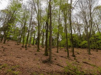
• Symbol: Hütte und Kiefer, grün, auf weißem Grund
![Trail On foot Gleiszellen-Gleishorbach - Gleiszellen: Sauhausbrunnen-Weg - Photo](https://media.geolcdn.com/t/350/260/587aa085-4553-4445-bd7d-17a36fbe529e.jpeg&format=jpg&maxdim=2)
![On foot On foot](https://static1.geolcdn.com/sitytour/trail-icons/100.png)
Km
On foot
![](/images/other/stat-length.png)
![](https://static1.geolcdn.com/siteimages/upload/files/1508320355ic_sort_den_pos_24dp.png)
![](https://static1.geolcdn.com/siteimages/upload/files/1508320355ic_sort_den_neg_24dp.png)
![](https://static1.geolcdn.com/siteimages/upload/files/16400158638029165_repeat_loop_refresh_sync_direction_icon.png)
• Trail created by Tourismusverein Südliche Weinstraße Bad Bergzabern. Symbol: Sau, Wasserhahn und Hütte, violett, auf...
![Trail On foot Gleiszellen-Gleishorbach - Gleiszellen: Mischwald-Wanderweg - Photo](https://media.geolcdn.com/t/350/260/587aa085-4553-4445-bd7d-17a36fbe529e.jpeg&format=jpg&maxdim=2)
![On foot On foot](https://static1.geolcdn.com/sitytour/trail-icons/100.png)
Km
On foot
![](/images/other/stat-length.png)
![](https://static1.geolcdn.com/siteimages/upload/files/1508320355ic_sort_den_pos_24dp.png)
![](https://static1.geolcdn.com/siteimages/upload/files/1508320355ic_sort_den_neg_24dp.png)
![](https://static1.geolcdn.com/siteimages/upload/files/16400158638029165_repeat_loop_refresh_sync_direction_icon.png)
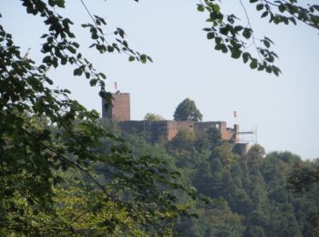
• Trail created by Tourismusverein Südliche Weinstraße Bad Bergzabern. Symbol: Kiefer und Eiche, lindgrün, auf weißem ...
3 trails displayed on 3
FREE GPS app for hiking