


11.1 km | 15.6 km-effort
Mettlach: Discover the best trails: 6 on foot and 4 walking. All these trails, routes and outdoor activities are available in our SityTrail applications for smartphones and tablets.
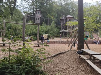
Walking


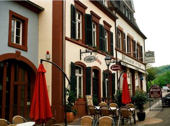
On foot
• Symbol: X-V
On foot
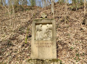
• Trail created by Saarwald-Verein. Symbol: rotes Kreuz neben rotem, diagonal verlaufendem Band auf weißem Grund

On foot
• Symbol: stilisierte Kochmütze
Walking

On foot
On foot

Walking
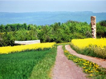
• belle balade autour de la sarre avec de magnifique point de vue sur cette curiosité naturelle. circuit bien balisé
On foot

Walking
10 trails displayed on 10
FREE GPS app for hiking
 SityTrail
IGN / Geographical institutes
SityTrail World
The world is yours!