![](/images/other/stat-length.png)
- Trails
- On foot
- Germany
- Saarland
- Regionalverband Saarbrücken
- Püttlingen
Püttlingen, Regionalverband Saarbrücken, On foot: Best trails, routes and walks
Püttlingen: Discover the best trails: 2 on foot. All these trails, routes and outdoor activities are available in our SityTrail applications for smartphones and tablets.
The best trails (2)
![Trail On foot Püttlingen - Pfarrer-Rug-Weg - Photo](https://media.geolcdn.com/t/350/260/35199d78-db73-436a-8685-d67217d3ea79.jpeg&format=jpg&maxdim=2)
![On foot On foot](https://static1.geolcdn.com/sitytour/trail-icons/100.png)
Km
On foot
![](/images/other/stat-length.png)
![](https://static1.geolcdn.com/siteimages/upload/files/1508320355ic_sort_den_pos_24dp.png)
![](https://static1.geolcdn.com/siteimages/upload/files/1508320355ic_sort_den_neg_24dp.png)
![](https://static1.geolcdn.com/siteimages/upload/files/16400158638029165_repeat_loop_refresh_sync_direction_icon.png)
• Eurodistrict SaarMoselle Website: http://www.vianovis.net/saarmoselle/#SOURCE=saarmoselle-touren&FID=64&m=satellite&...
![Trail On foot Püttlingen - Haldenrundweg Südschleife - Photo](https://media.geolcdn.com/t/350/260/a8fb5704-6d35-4e87-bda8-aa7d53c655e6.jpeg&format=jpg&maxdim=2)
![On foot On foot](https://static1.geolcdn.com/sitytour/trail-icons/100.png)
Km
On foot
![](/images/other/stat-length.png)
![](https://static1.geolcdn.com/siteimages/upload/files/1508320355ic_sort_den_pos_24dp.png)
![](https://static1.geolcdn.com/siteimages/upload/files/1508320355ic_sort_den_neg_24dp.png)
![](https://static1.geolcdn.com/siteimages/upload/files/16400158638029165_repeat_loop_refresh_sync_direction_icon.png)
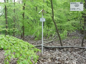
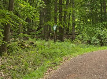
• Trail created by Saarland. Symbol: Grünes Haldensymbol mit aufgestzter grüner Sonne im grünen Rahmen auf weißem Grund
2 trails displayed on 2
FREE GPS app for hiking