


3.2 km | 4.2 km-effort
Unknown: Discover the best trails: 6 on foot. All these trails, routes and outdoor activities are available in our SityTrail applications for smartphones and tablets.
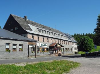
On foot


• Symbol: Gelbes R auf weißem Grund
On foot
• Symbol: Gelbes R auf weißem Grund
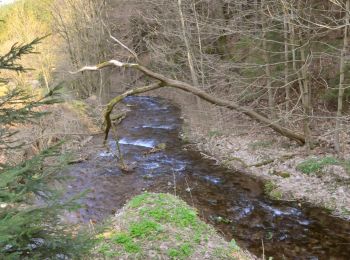
On foot
• Trail created by Biosphärenreservat Vessertal-Thüringer Wald, Verwaltung. Symbol: Grünes QR1 auf weißem Grund
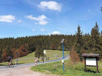
On foot
• Trail created by Kulturamt Stadt Suhl. Beginn Skistadtion Heidersbach bzw. Pfannrain Goldlauter Symbol: Rotes Dreie...

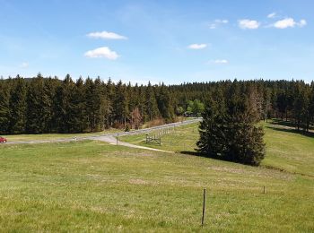
On foot
• Rund um den Großen Finsterberg Symbol: Roter Strich auf weißem Grund
On foot
6 trails displayed on 6
FREE GPS app for hiking
 SityTrail
IGN / Geographical institutes
SityTrail World
The world is yours!