Bad Münstereifel, Kreis Euskirchen, On foot: Best trails, routes and walks

Bad Münstereifel: Discover the best trails: 5 on foot and 3 walking. All these trails, routes and outdoor activities are available in our SityTrail applications for smartphones and tablets.


The best trails (8)
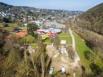
Trail On foot Bad Münstereifel - EifelSchleife Eselsberg - Photo
On foot 4.765
Km
GUIDE+

On foot

Easy
Bad Münstereifel, North Rhine-Westphalia, Kreis Euskirchen, Germany
4.8 km | 6.9 km-effort
1h 34min
164 m
152 m
Yes
SityTrail - itinéraires balisés pédestres

• Trail created by Nordeifel Tourismus GmbH. Symbol: quadratisches Logo oben blaue Fläche (Himmel) unten grüne Fläche ...
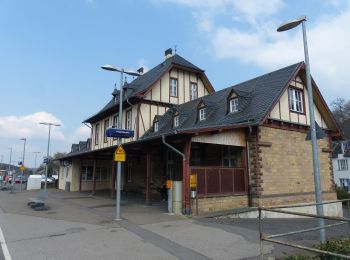
Trail On foot Bad Münstereifel - EifelSchleife Burgenblick - Photo
On foot 4.137
Km
GUIDE+

On foot

Easy
Bad Münstereifel, North Rhine-Westphalia, Kreis Euskirchen, Germany
4.1 km | 5.6 km-effort
1h 16min
112 m
116 m
Yes
SityTrail - itinéraires balisés pédestres

• Trail created by Nordeifel Tourismus GmbH. Symbol: quadratisches Logo oben blaue Fläche (Himmel) unten grüne Fläche ...
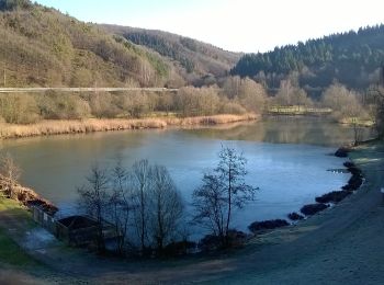
Trail On foot Bad Münstereifel - EifelSchleife Um den Langen Kopf - Photo
On foot 10.28
Km
GUIDE+

On foot

Easy
Bad Münstereifel, North Rhine-Westphalia, Kreis Euskirchen, Germany
10.3 km | 14.2 km-effort
3h 13min
295 m
293 m
Yes
SityTrail - itinéraires balisés pédestres

• Trail created by Nordeifel Tourismus GmbH. Symbol: quadratisches Logo oben blaue Fläche (Himmel) unten grüne Fläche ...
Trail On foot Bad Münstereifel - EifelSchleife Von Sternen und Römern - Photo
On foot 15.278
Km
GUIDE+

On foot

Easy
Bad Münstereifel, North Rhine-Westphalia, Kreis Euskirchen, Germany
15.3 km | 19.9 km-effort
4h 31min
339 m
368 m
No
SityTrail - itinéraires balisés pédestres

• Trail created by Nordeifel Tourismus GmbH. Symbol: quadratisches Logo oben blaue Fläche (Himmel) unten grüne Fläche ...

Trail On foot Bad Münstereifel - EifelSchleife Rund um Rupperath - Photo
On foot 7.085
Km
GUIDE+

On foot

Easy
Bad Münstereifel, North Rhine-Westphalia, Kreis Euskirchen, Germany
7.1 km | 9.5 km-effort
2h 9min
183 m
183 m
Yes
SityTrail - itinéraires balisés pédestres

• Trail created by Nordeifel Tourismus GmbH. Symbol: quadratisches Logo oben blaue Fläche (Himmel) unten grüne Fläche ...

Trail Walking Bad Münstereifel - Bad Münstereifel - Photo
Walking 21.816
Km

Walking

Medium
Bad Münstereifel, North Rhine-Westphalia, Kreis Euskirchen, Germany
22 km | 30 km-effort
4h 0min
586 m
586 m
Yes
flip96

• Rondwandeling vanuit Bad Münstereifel. Prachtige, afwisselende wandeling.

Trail Walking Bad Münstereifel - blanken - Photo
Walking 18.768
Km

Walking

Medium
Bad Münstereifel, North Rhine-Westphalia, Kreis Euskirchen, Germany
18.8 km | 25 km-effort
5h 25min
498 m
324 m
No
hubbi

Trail Walking Bad Münstereifel - MJW 2-1 - Photo
Walking 20.303
Km

Walking

Medium
Bad Münstereifel, North Rhine-Westphalia, Kreis Euskirchen, Germany
20 km | 26 km-effort
5h 40min
486 m
278 m
No
hubbi

8 trails displayed on 8

FREE GPS app for hiking

Logo SityTrail SityTrail

IGN / Geographical institutes

Download SityTrail from the App Store Download SityTrail from Google Play

Logo SityTrail SityTrail World

The world is yours!

Download SityTrail from the App Store Download SityTrail from Google Play Download SityTrail on Huawei AppGallery

Activities

Close
My subscriptions