![](/images/other/stat-length.png)
- Trails
- On foot
- Germany
- North Rhine-Westphalia
- Kreis Düren
Kreis Düren, North Rhine-Westphalia, On foot: Best trails, routes and walks
Kreis Düren: Discover the best trails: 56 on foot and 24 walking. All these trails, routes and outdoor activities are available in our SityTrail applications for smartphones and tablets.
The best trails (80)
![Trail On foot Hürtgenwald - Hochwaldweg - Photo](https://media.geolcdn.com/t/350/260/3b800557-aad4-4aa3-bd05-7d61934bffea.jpeg&format=jpg&maxdim=2)
![On foot On foot](https://static1.geolcdn.com/sitytour/trail-icons/100.png)
Km
On foot
![](/images/other/stat-length.png)
![](https://static1.geolcdn.com/siteimages/upload/files/1508320355ic_sort_den_pos_24dp.png)
![](https://static1.geolcdn.com/siteimages/upload/files/1508320355ic_sort_den_neg_24dp.png)
![](https://static1.geolcdn.com/siteimages/upload/files/16400158638029165_repeat_loop_refresh_sync_direction_icon.png)
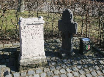
• Trail created by Heimat- und Verkehrsverein Hürtgen-Kleinhau-Grosshau. Symbol: schwarze 14 auf weißem Grund
![Trail On foot Heimbach - Meuchelberg - Photo](https://media.geolcdn.com/t/350/260/3837c9cb-359c-4bbd-9282-4a20b946f05d.jpeg&format=jpg&maxdim=2)
![On foot On foot](https://static1.geolcdn.com/sitytour/trail-icons/100.png)
Km
On foot
![](/images/other/stat-length.png)
![](https://static1.geolcdn.com/siteimages/upload/files/1508320355ic_sort_den_pos_24dp.png)
![](https://static1.geolcdn.com/siteimages/upload/files/1508320355ic_sort_den_neg_24dp.png)
![](https://static1.geolcdn.com/siteimages/upload/files/16400158638029165_repeat_loop_refresh_sync_direction_icon.png)
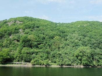
• Der Name Meuchelberg entspringt einer Sage, nach der dort zwei Brüder im Streit zu Tode geprügelt haben. Auf dem 373 ...
![Trail On foot Hürtgenwald - Eifelverein - Weg 26 - Photo](https://media.geolcdn.com/t/350/260/64292a9e-f6e4-4560-a020-52a8ccb06edc.jpeg&format=jpg&maxdim=2)
![On foot On foot](https://static1.geolcdn.com/sitytour/trail-icons/100.png)
Km
On foot
![](/images/other/stat-length.png)
![](https://static1.geolcdn.com/siteimages/upload/files/1508320355ic_sort_den_pos_24dp.png)
![](https://static1.geolcdn.com/siteimages/upload/files/1508320355ic_sort_den_neg_24dp.png)
![](https://static1.geolcdn.com/siteimages/upload/files/16400158638029165_repeat_loop_refresh_sync_direction_icon.png)
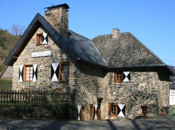
• Trail created by Eifelverein Hürtgenwald.
![Trail On foot Vettweiß - Neuntöterweg - Photo](https://media.geolcdn.com/t/350/260/10cb3ec2-ead2-4e5b-a04c-a9998ff9680a.jpeg&format=jpg&maxdim=2)
![On foot On foot](https://static1.geolcdn.com/sitytour/trail-icons/100.png)
Km
On foot
![](/images/other/stat-length.png)
![](https://static1.geolcdn.com/siteimages/upload/files/1508320355ic_sort_den_pos_24dp.png)
![](https://static1.geolcdn.com/siteimages/upload/files/1508320355ic_sort_den_neg_24dp.png)
![](https://static1.geolcdn.com/siteimages/upload/files/16400158638029165_repeat_loop_refresh_sync_direction_icon.png)
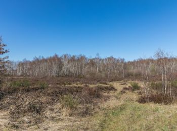
• Trail created by Gemeinde. Symbol: Umlaufender oranger Streifen am Holzpfahl
![Trail On foot Vettweiß - Ziegenmelkerweg - Photo](https://media.geolcdn.com/t/350/260/10cb3ec2-ead2-4e5b-a04c-a9998ff9680a.jpeg&format=jpg&maxdim=2)
![On foot On foot](https://static1.geolcdn.com/sitytour/trail-icons/100.png)
Km
On foot
![](/images/other/stat-length.png)
![](https://static1.geolcdn.com/siteimages/upload/files/1508320355ic_sort_den_pos_24dp.png)
![](https://static1.geolcdn.com/siteimages/upload/files/1508320355ic_sort_den_neg_24dp.png)
![](https://static1.geolcdn.com/siteimages/upload/files/16400158638029165_repeat_loop_refresh_sync_direction_icon.png)
• Trail created by Gemeinde. Symbol: Umlaufender roter Streifen am Holzpfahl
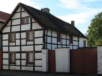
![Trail On foot Kreuzau - Kreuzau 1 - Photo](https://media.geolcdn.com/t/350/260/20c2f59a-d6bd-43b9-b57a-f318588a28c4.jpeg&format=jpg&maxdim=2)
![On foot On foot](https://static1.geolcdn.com/sitytour/trail-icons/100.png)
Km
On foot
![](/images/other/stat-length.png)
![](https://static1.geolcdn.com/siteimages/upload/files/1508320355ic_sort_den_pos_24dp.png)
![](https://static1.geolcdn.com/siteimages/upload/files/1508320355ic_sort_den_neg_24dp.png)
![](https://static1.geolcdn.com/siteimages/upload/files/16400158638029165_repeat_loop_refresh_sync_direction_icon.png)
• Trail created by Gemeinde. Symbol: Weißes Schild mit schwarzen Ziffern 22
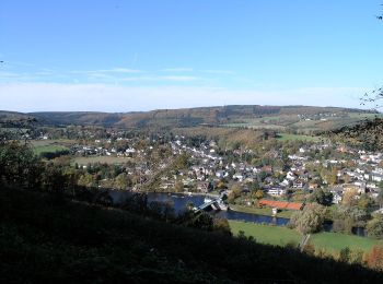
![Trail On foot Hürtgenwald - An der Gieschhardt - Photo](https://media.geolcdn.com/t/350/260/db32e5f9-63c8-4790-8701-1de9e82b7122.jpeg&format=jpg&maxdim=2)
![On foot On foot](https://static1.geolcdn.com/sitytour/trail-icons/100.png)
Km
On foot
![](/images/other/stat-length.png)
![](https://static1.geolcdn.com/siteimages/upload/files/1508320355ic_sort_den_pos_24dp.png)
![](https://static1.geolcdn.com/siteimages/upload/files/1508320355ic_sort_den_neg_24dp.png)
![](https://static1.geolcdn.com/siteimages/upload/files/16400158638029165_repeat_loop_refresh_sync_direction_icon.png)
• Trail created by Rureifel-Tourismus.
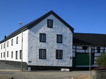
![Trail On foot Langerwehe - Schlich Rundweg 71 - Photo](https://media.geolcdn.com/t/350/260/466cb838-894a-4cc5-b608-7394d42b1dd5.jpeg&format=jpg&maxdim=2)
![On foot On foot](https://static1.geolcdn.com/sitytour/trail-icons/100.png)
Km
On foot
![](/images/other/stat-length.png)
![](https://static1.geolcdn.com/siteimages/upload/files/1508320355ic_sort_den_pos_24dp.png)
![](https://static1.geolcdn.com/siteimages/upload/files/1508320355ic_sort_den_neg_24dp.png)
![](https://static1.geolcdn.com/siteimages/upload/files/16400158638029165_repeat_loop_refresh_sync_direction_icon.png)
• Trail created by Eifelverein. Symbol: schwarze 71 auf weißem Grund
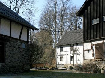
![Trail On foot Nideggen - Rundweg 7 Simonskall - Photo](https://media.geolcdn.com/t/350/260/16f0dffd-e132-41d2-a7df-ccfa5884f073.jpeg&format=jpg&maxdim=2)
![On foot On foot](https://static1.geolcdn.com/sitytour/trail-icons/100.png)
Km
On foot
![](/images/other/stat-length.png)
![](https://static1.geolcdn.com/siteimages/upload/files/1508320355ic_sort_den_pos_24dp.png)
![](https://static1.geolcdn.com/siteimages/upload/files/1508320355ic_sort_den_neg_24dp.png)
![](https://static1.geolcdn.com/siteimages/upload/files/16400158638029165_repeat_loop_refresh_sync_direction_icon.png)
• Trail created by Eifelverein OG Schmidt. Symbol: 7
![Trail On foot Hürtgenwald - Rundweg 3 Simonskall - Photo](https://media.geolcdn.com/t/350/260/16f0dffd-e132-41d2-a7df-ccfa5884f073.jpeg&format=jpg&maxdim=2)
![On foot On foot](https://static1.geolcdn.com/sitytour/trail-icons/100.png)
Km
On foot
![](/images/other/stat-length.png)
![](https://static1.geolcdn.com/siteimages/upload/files/1508320355ic_sort_den_pos_24dp.png)
![](https://static1.geolcdn.com/siteimages/upload/files/1508320355ic_sort_den_neg_24dp.png)
![](https://static1.geolcdn.com/siteimages/upload/files/16400158638029165_repeat_loop_refresh_sync_direction_icon.png)
• Trail created by Eifelverein. Symbol: 3
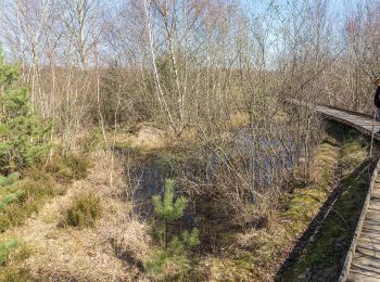
![Trail On foot Vettweiß - großer Heideweg - Photo](https://media.geolcdn.com/t/350/260/74de7dee-bba1-467c-b3f2-878909729c61.jpeg&format=jpg&maxdim=2)
![On foot On foot](https://static1.geolcdn.com/sitytour/trail-icons/100.png)
Km
On foot
![](/images/other/stat-length.png)
![](https://static1.geolcdn.com/siteimages/upload/files/1508320355ic_sort_den_pos_24dp.png)
![](https://static1.geolcdn.com/siteimages/upload/files/1508320355ic_sort_den_neg_24dp.png)
![](https://static1.geolcdn.com/siteimages/upload/files/16400158638029165_repeat_loop_refresh_sync_direction_icon.png)
• Symbol: Umlaufender dunkelblauer Streifen am Holzpfahl
![Trail On foot Kreuzau - Drover-Berg-Tunnelweg - Photo](https://media.geolcdn.com/t/350/260/10cb3ec2-ead2-4e5b-a04c-a9998ff9680a.jpeg&format=jpg&maxdim=2)
![On foot On foot](https://static1.geolcdn.com/sitytour/trail-icons/100.png)
Km
On foot
![](/images/other/stat-length.png)
![](https://static1.geolcdn.com/siteimages/upload/files/1508320355ic_sort_den_pos_24dp.png)
![](https://static1.geolcdn.com/siteimages/upload/files/1508320355ic_sort_den_neg_24dp.png)
![](https://static1.geolcdn.com/siteimages/upload/files/16400158638029165_repeat_loop_refresh_sync_direction_icon.png)
• Trail created by Gemeinde. Symbol: Umlaufender hellblauer Streifen am Holzpfahl
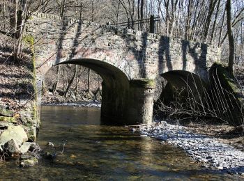
![Trail On foot Hürtgenwald - Panoramaweg Bergstein - Photo](https://media.geolcdn.com/t/350/260/4a013b56-75ae-4063-b45e-5ac827035946.jpeg&format=jpg&maxdim=2)
![On foot On foot](https://static1.geolcdn.com/sitytour/trail-icons/100.png)
Km
On foot
![](/images/other/stat-length.png)
![](https://static1.geolcdn.com/siteimages/upload/files/1508320355ic_sort_den_pos_24dp.png)
![](https://static1.geolcdn.com/siteimages/upload/files/1508320355ic_sort_den_neg_24dp.png)
![](https://static1.geolcdn.com/siteimages/upload/files/16400158638029165_repeat_loop_refresh_sync_direction_icon.png)
• Trail created by Rureifel-Tourismus.
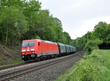
![Trail On foot Langerwehe - Langerwehe Wanderrundweg Nr. 11 - Photo](https://media.geolcdn.com/t/350/260/69b405e1-5955-4ecf-a90c-332b2358c798.jpeg&format=jpg&maxdim=2)
![On foot On foot](https://static1.geolcdn.com/sitytour/trail-icons/100.png)
Km
On foot
![](/images/other/stat-length.png)
![](https://static1.geolcdn.com/siteimages/upload/files/1508320355ic_sort_den_pos_24dp.png)
![](https://static1.geolcdn.com/siteimages/upload/files/1508320355ic_sort_den_neg_24dp.png)
![](https://static1.geolcdn.com/siteimages/upload/files/16400158638029165_repeat_loop_refresh_sync_direction_icon.png)
• Trail created by Eifelverein, Ortsverein Langerwehe. Symbol: Schwarze 11 auf weißem Grund
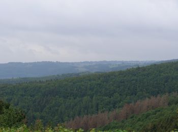
![Trail On foot Nideggen - Schmidter Runde - Photo](https://media.geolcdn.com/t/350/260/68d8615b-3db1-4004-9cff-4afadf42000f.jpeg&format=jpg&maxdim=2)
![On foot On foot](https://static1.geolcdn.com/sitytour/trail-icons/100.png)
Km
On foot
![](/images/other/stat-length.png)
![](https://static1.geolcdn.com/siteimages/upload/files/1508320355ic_sort_den_pos_24dp.png)
![](https://static1.geolcdn.com/siteimages/upload/files/1508320355ic_sort_den_neg_24dp.png)
![](https://static1.geolcdn.com/siteimages/upload/files/16400158638029165_repeat_loop_refresh_sync_direction_icon.png)
• Trail created by Rureifel-Tourismus.
![Trail On foot Nideggen - Heinrich-Böll-Weg - Photo](https://media.geolcdn.com/t/350/260/93774cb9-256a-49ef-9a96-1bf88cdec2bd.jpeg&format=jpg&maxdim=2)
![On foot On foot](https://static1.geolcdn.com/sitytour/trail-icons/100.png)
Km
On foot
![](/images/other/stat-length.png)
![](https://static1.geolcdn.com/siteimages/upload/files/1508320355ic_sort_den_pos_24dp.png)
![](https://static1.geolcdn.com/siteimages/upload/files/1508320355ic_sort_den_neg_24dp.png)
![](https://static1.geolcdn.com/siteimages/upload/files/16400158638029165_repeat_loop_refresh_sync_direction_icon.png)
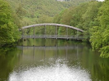
• Trail created by Rureifel-Tourismus.
![Trail On foot Vettweiß - Drover Heide - Photo](https://media.geolcdn.com/t/350/260/20c2f59a-d6bd-43b9-b57a-f318588a28c4.jpeg&format=jpg&maxdim=2)
![On foot On foot](https://static1.geolcdn.com/sitytour/trail-icons/100.png)
Km
On foot
![](/images/other/stat-length.png)
![](https://static1.geolcdn.com/siteimages/upload/files/1508320355ic_sort_den_pos_24dp.png)
![](https://static1.geolcdn.com/siteimages/upload/files/1508320355ic_sort_den_neg_24dp.png)
![](https://static1.geolcdn.com/siteimages/upload/files/16400158638029165_repeat_loop_refresh_sync_direction_icon.png)
• Trail created by Rureifel-Tourismus. Symbol: Weißes Schild mit schwarzen Ziffern 52
![Trail On foot Langerwehe - Langerwehe Wanderrundweg Nr. 31 - Photo](https://media.geolcdn.com/t/350/260/404422ff-d695-461b-8392-02729ac5736e.jpeg&format=jpg&maxdim=2)
![On foot On foot](https://static1.geolcdn.com/sitytour/trail-icons/100.png)
Km
On foot
![](/images/other/stat-length.png)
![](https://static1.geolcdn.com/siteimages/upload/files/1508320355ic_sort_den_pos_24dp.png)
![](https://static1.geolcdn.com/siteimages/upload/files/1508320355ic_sort_den_neg_24dp.png)
![](https://static1.geolcdn.com/siteimages/upload/files/16400158638029165_repeat_loop_refresh_sync_direction_icon.png)
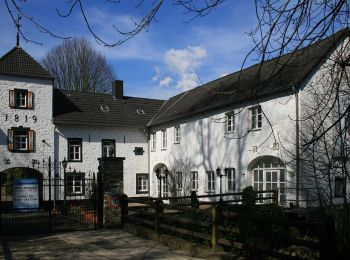
• Trail created by Eifelverein. Wegeführung vor/im Bereich Heistern prüfen Symbol: schwarze 31 auf weißem Grund
![Trail On foot Langerwehe - Langerwehe Wanderrundweg Nr. 21 - Photo](https://media.geolcdn.com/t/350/260/c7aca381-6f62-4196-b548-181d0a19cba5.jpeg&format=jpg&maxdim=2)
![On foot On foot](https://static1.geolcdn.com/sitytour/trail-icons/100.png)
Km
On foot
![](/images/other/stat-length.png)
![](https://static1.geolcdn.com/siteimages/upload/files/1508320355ic_sort_den_pos_24dp.png)
![](https://static1.geolcdn.com/siteimages/upload/files/1508320355ic_sort_den_neg_24dp.png)
![](https://static1.geolcdn.com/siteimages/upload/files/16400158638029165_repeat_loop_refresh_sync_direction_icon.png)
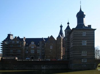
• Trail created by Eifelverein. Symbol: schwarze 21 auf weißem Grund
![Trail On foot Nideggen - Stauseerundweg Obermaubach - Photo](https://media.geolcdn.com/t/350/260/a4eb8832-4d42-4939-9116-6aba00f4ee97.jpeg&format=jpg&maxdim=2)
![On foot On foot](https://static1.geolcdn.com/sitytour/trail-icons/100.png)
Km
On foot
![](/images/other/stat-length.png)
![](https://static1.geolcdn.com/siteimages/upload/files/1508320355ic_sort_den_pos_24dp.png)
![](https://static1.geolcdn.com/siteimages/upload/files/1508320355ic_sort_den_neg_24dp.png)
![](https://static1.geolcdn.com/siteimages/upload/files/16400158638029165_repeat_loop_refresh_sync_direction_icon.png)
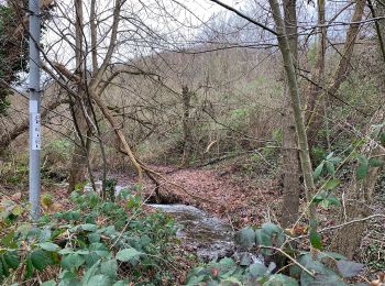
• Trail created by Rureifel-Tourismus.
20 trails displayed on 80
FREE GPS app for hiking