![](/images/other/stat-length.png)
Waldbröl, Oberbergischer Kreis, On foot: Best trails, routes and walks
Waldbröl: Discover the best trails: 4 on foot. All these trails, routes and outdoor activities are available in our SityTrail applications for smartphones and tablets.
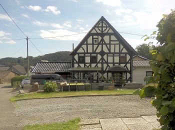
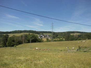
The best trails (4)
![Trail On foot Waldbröl - Pulvermühlenweg (Erlebnisweg Sieg Nr. 13) - Photo](https://media.geolcdn.com/t/350/260/f5168160-4518-4cfd-a985-7c523c8063d7.jpeg&format=jpg&maxdim=2)
![On foot On foot](https://static1.geolcdn.com/sitytour/trail-icons/100.png)
Km
On foot
![](/images/other/stat-length.png)
![](https://static1.geolcdn.com/siteimages/upload/files/1508320355ic_sort_den_pos_24dp.png)
![](https://static1.geolcdn.com/siteimages/upload/files/1508320355ic_sort_den_neg_24dp.png)
![](https://static1.geolcdn.com/siteimages/upload/files/16400158638029165_repeat_loop_refresh_sync_direction_icon.png)
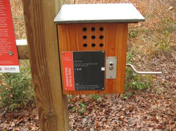
• Trail created by Naturregion Sieg. Symbol: weißes S auf rotem Grund Website: https://www.naturregion-sieg.de/
![Trail On foot Waldbröl - Waldmythenweg - Photo](https://media.geolcdn.com/t/350/260/7f418c1d-f2f2-415d-84db-98978db73f86.jpeg&format=jpg&maxdim=2)
![On foot On foot](https://static1.geolcdn.com/sitytour/trail-icons/100.png)
Km
On foot
![](/images/other/stat-length.png)
![](https://static1.geolcdn.com/siteimages/upload/files/1508320355ic_sort_den_pos_24dp.png)
![](https://static1.geolcdn.com/siteimages/upload/files/1508320355ic_sort_den_neg_24dp.png)
![](https://static1.geolcdn.com/siteimages/upload/files/16400158638029165_repeat_loop_refresh_sync_direction_icon.png)
• Trail created by Das Bergische. Symbol: weiße 23 auf rotem Grund
![Trail On foot Waldbröl - Spurkenbach Rundweg A4 - Photo](https://media.geolcdn.com/t/350/260/924d8b56-5fc0-43e4-973e-79436b43c023.jpeg&format=jpg&maxdim=2)
![On foot On foot](https://static1.geolcdn.com/sitytour/trail-icons/100.png)
Km
On foot
![](/images/other/stat-length.png)
![](https://static1.geolcdn.com/siteimages/upload/files/1508320355ic_sort_den_pos_24dp.png)
![](https://static1.geolcdn.com/siteimages/upload/files/1508320355ic_sort_den_neg_24dp.png)
![](https://static1.geolcdn.com/siteimages/upload/files/16400158638029165_repeat_loop_refresh_sync_direction_icon.png)
![Trail On foot Waldbröl - Waldbröl Rundweg A4 - Photo](https://media.geolcdn.com/t/350/260/7f418c1d-f2f2-415d-84db-98978db73f86.jpeg&format=jpg&maxdim=2)
![On foot On foot](https://static1.geolcdn.com/sitytour/trail-icons/100.png)
Km
On foot
![](/images/other/stat-length.png)
![](https://static1.geolcdn.com/siteimages/upload/files/1508320355ic_sort_den_pos_24dp.png)
![](https://static1.geolcdn.com/siteimages/upload/files/1508320355ic_sort_den_neg_24dp.png)
![](https://static1.geolcdn.com/siteimages/upload/files/16400158638029165_repeat_loop_refresh_sync_direction_icon.png)
4 trails displayed on 4
FREE GPS app for hiking