Wiehl, Oberbergischer Kreis, On foot: Best trails, routes and walks

Wiehl: Discover the best trails: 12 on foot. All these trails, routes and outdoor activities are available in our SityTrail applications for smartphones and tablets.


The best trails (12)
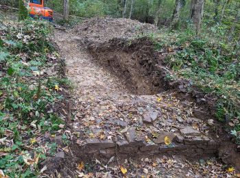
Trail On foot Wiehl - Bierweg - Photo
On foot 6.712
Km
PRO

On foot

Easy
Wiehl, North Rhine-Westphalia, Oberbergischer Kreis, Germany
6.7 km | 8.4 km-effort
1h 54min
125 m
139 m
No
SityTrail - itinéraires balisés pédestres

• Trail created by Das Bergische gGmbH. Symbol: Weiße 17 auf rotem Rechteck
Trail On foot Wiehl - Höhlenweg Bieberstein-Tropfsteinhöhle - Photo
On foot 8.364
Km
PRO

On foot

Easy
Wiehl, North Rhine-Westphalia, Oberbergischer Kreis, Germany
8.4 km | 11.8 km-effort
2h 41min
270 m
229 m
No
SityTrail - itinéraires balisés pédestres

• Symbol: Halbkreis mit den Enden nach unten

Trail On foot Wiehl - Rund um Bielstein - Photo
On foot 17.904
Km
PRO

On foot

Medium
Wiehl, North Rhine-Westphalia, Oberbergischer Kreis, Germany
17.9 km | 23 km-effort
5h 11min
362 m
397 m
No
SityTrail - itinéraires balisés pédestres

• Trail created by Sauerländischer Gebirgsverein. Symbol: Kreis
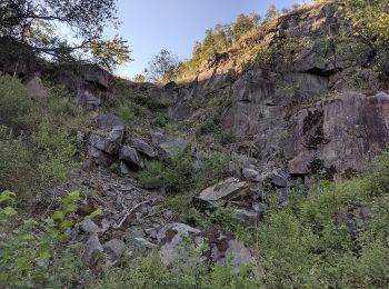
Trail On foot Wiehl - Marienhagen Rundweg A4 - Photo
On foot 4.625
Km
PRO

On foot

Easy
Wiehl, North Rhine-Westphalia, Oberbergischer Kreis, Germany
4.6 km | 5.9 km-effort
1h 21min
88 m
132 m
No
SityTrail - itinéraires balisés pédestres

Trail On foot Wiehl - Tropfsteinhöhle Rundweg A3 - Photo
On foot 4.28
Km
PRO

On foot

Easy
Wiehl, North Rhine-Westphalia, Oberbergischer Kreis, Germany
4.3 km | 5.5 km-effort
1h 15min
94 m
94 m
Yes
SityTrail - itinéraires balisés pédestres

Trail On foot Wiehl - Drabenderhöhe Rundweg A2 - Photo
On foot 6.338
Km
PRO

On foot

Easy
Wiehl, North Rhine-Westphalia, Oberbergischer Kreis, Germany
6.3 km | 8.1 km-effort
1h 50min
131 m
133 m
Yes
SityTrail - itinéraires balisés pédestres

• Trail created by Sauerländischer Gebirgsverein. Symbol: A2
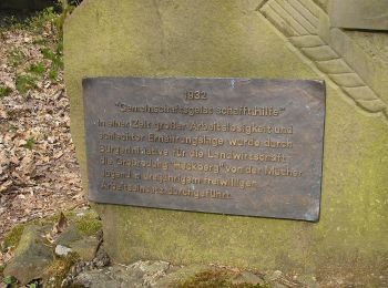
Trail On foot Wiehl - Drabenderhöhe Rundweg A7 - Photo
On foot 8.096
Km
PRO

On foot

Easy
Wiehl, North Rhine-Westphalia, Oberbergischer Kreis, Germany
8.1 km | 10.5 km-effort
2h 23min
181 m
189 m
No
SityTrail - itinéraires balisés pédestres

• Trail created by Sauerländischer Gebirgsverein. Symbol: A7

Trail On foot Wiehl - Drabenderhöhe Rundweg A1 - Photo
On foot 4.259
Km
PRO

On foot

Easy
Wiehl, North Rhine-Westphalia, Oberbergischer Kreis, Germany
4.3 km | 5.8 km-effort
1h 18min
114 m
108 m
Yes
SityTrail - itinéraires balisés pédestres

• Trail created by Sauerländischer Gebirgsverein.

Trail On foot Wiehl - Drabenderhöhe Rundweg A6 - Photo
On foot 3.934
Km
PRO

On foot

Easy
Wiehl, North Rhine-Westphalia, Oberbergischer Kreis, Germany
3.9 km | 4.9 km-effort
1h 7min
75 m
74 m
Yes
SityTrail - itinéraires balisés pédestres

• Trail created by Sauerländischer Gebirgsverein.

Trail On foot Wiehl - Ülpetal Rundweg A3 - Photo
On foot 7.39
Km
PRO

On foot

Easy
Wiehl, North Rhine-Westphalia, Oberbergischer Kreis, Germany
7.4 km | 9.5 km-effort
2h 9min
159 m
161 m
Yes
SityTrail - itinéraires balisés pédestres

• Trail created by Sauerländischer Gebirgsverein. Symbol: A3

Trail On foot Wiehl - Drabenderhöhe Rundweg A5 - Photo
On foot 3.934
Km
PRO

On foot

Easy
Wiehl, North Rhine-Westphalia, Oberbergischer Kreis, Germany
3.9 km | 4.8 km-effort
1h 5min
65 m
56 m
No
SityTrail - itinéraires balisés pédestres

• Trail created by Sauerländischer Gebirgsverein. Symbol: A5

Trail On foot Wiehl - Tropfsteinhöhle Rundweg A2 - Photo
On foot 3.56
Km
PRO

On foot

Easy
Wiehl, North Rhine-Westphalia, Oberbergischer Kreis, Germany
3.6 km | 4.8 km-effort
1h 5min
95 m
88 m
No
SityTrail - itinéraires balisés pédestres

12 trails displayed on 12

FREE GPS app for hiking

Logo SityTrail SityTrail

IGN / Geographical institutes

Download SityTrail from the App Store Download SityTrail from Google Play

Logo SityTrail SityTrail World

The world is yours!

Download SityTrail from the App Store Download SityTrail from Google Play Download SityTrail on Huawei AppGallery

Activities

Close
My subscriptions