Schwerte, Kreis Unna, On foot: Best trails, routes and walks

Schwerte: Discover the best trails: 10 on foot. All these trails, routes and outdoor activities are available in our SityTrail applications for smartphones and tablets.


The best trails (10)

Trail On foot Schwerte - NordicAktivPark Schwerter Wald schwarze Südstrecke - Photo
On foot 6.497
Km
PRO

On foot

Easy
Schwerte, North Rhine-Westphalia, Kreis Unna, Germany
6.5 km | 8.2 km-effort
1h 52min
132 m
126 m
Yes
SityTrail - itinéraires balisés pédestres

• Symbol: schwarzer Pfeil/Punkt unter grünem N auf weißem Grund

Trail On foot Schwerte - NordicAktivPark Schwerter Wald rote Südstrecke - Photo
On foot 5.58
Km
PRO

On foot

Easy
Schwerte, North Rhine-Westphalia, Kreis Unna, Germany
5.6 km | 7.2 km-effort
1h 37min
122 m
116 m
Yes
SityTrail - itinéraires balisés pédestres

• Symbol: roter Pfeil/Punkt unter grünem N auf weißem Grund
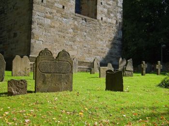
Trail On foot Schwerte - Schwerte Bf - Hohensyburg - Photo
On foot 7.501
Km
PRO

On foot

Easy
Schwerte, North Rhine-Westphalia, Kreis Unna, Germany
7.5 km | 9.5 km-effort
2h 10min
175 m
89 m
No
SityTrail - itinéraires balisés pédestres

• Trail created by Sauerländischer Gebirgsverein.
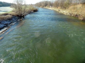
Trail On foot Schwerte - Schwerte Rathaus - Letmathe Humpfertturm - Photo
On foot 10.877
Km
PRO

On foot

Easy
Schwerte, North Rhine-Westphalia, Kreis Unna, Germany
10.9 km | 14.7 km-effort
3h 19min
326 m
156 m
No
SityTrail - itinéraires balisés pédestres

• Trail created by Sauerländischer Gebirgsverein. Symbol: Balken
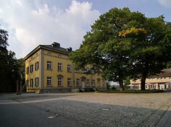
Trail On foot Schwerte - Vollquadrat Schwerte - Hennen - Photo
On foot 8.246
Km
PRO

On foot

Easy
Schwerte, North Rhine-Westphalia, Kreis Unna, Germany
8.2 km | 10.2 km-effort
2h 19min
165 m
95 m
No
SityTrail - itinéraires balisés pédestres

• Trail created by SGV. Symbol: Vollquadrat
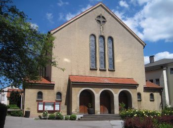
Trail On foot Schwerte - Schwerte Bf - Iserlohn Bf - Photo
On foot 17.192
Km
PRO

On foot

Medium
Schwerte, North Rhine-Westphalia, Kreis Unna, Germany
17.2 km | 22 km-effort
4h 57min
375 m
254 m
No
SityTrail - itinéraires balisés pédestres

• Trail created by SGV. von Schwerte Bahnhof bis Ruhrtalmuseum nur spärlich markiert Symbol: Volldreieck

Trail On foot Schwerte - Schwerter Wald Rundweg A2 - Photo
On foot 3.838
Km
PRO

On foot

Easy
Schwerte, North Rhine-Westphalia, Kreis Unna, Germany
3.8 km | 5.2 km-effort
1h 11min
105 m
100 m
Yes
SityTrail - itinéraires balisés pédestres

• Trail created by Sauerländischer Gebirgsverein Bezirk Dortmund Ardey.
Trail On foot Schwerte - Schwerter Wald Rundweg A1 - Photo
On foot 3.66
Km
PRO

On foot

Easy
Schwerte, North Rhine-Westphalia, Kreis Unna, Germany
3.7 km | 4.5 km-effort
1h 1min
64 m
63 m
Yes
SityTrail - itinéraires balisés pédestres

• Trail created by Sauerländischer Gebirgsverein Bezirk Dortmund Ardey.
Trail On foot Schwerte - Rundweg um Schwerte S - Photo
On foot 39.673
Km
PRO

On foot

Very difficult
Schwerte, North Rhine-Westphalia, Kreis Unna, Germany
40 km | 50 km-effort
11h 28min
813 m
807 m
Yes
SityTrail - itinéraires balisés pédestres

• Trail created by SGV. Symbol: weisses S in weissem Kreis auf schwarzem Quadrat

Trail On foot Schwerte - Elsebad Rundweg A7 - Photo
On foot 6.635
Km
PRO

On foot

Easy
Schwerte, North Rhine-Westphalia, Kreis Unna, Germany
6.6 km | 8.3 km-effort
1h 53min
125 m
125 m
Yes
SityTrail - itinéraires balisés pédestres

• Trail created by SGV. Symbol: A7

10 trails displayed on 10

FREE GPS app for hiking

Logo SityTrail SityTrail

IGN / Geographical institutes

Download SityTrail from the App Store Download SityTrail from Google Play

Logo SityTrail SityTrail World

The world is yours!

Download SityTrail from the App Store Download SityTrail from Google Play Download SityTrail on Huawei AppGallery

Activities

Close
My subscriptions