


14.8 km | 18.2 km-effort
Städteregion Aachen: Discover the best trails: 106 on foot, 141 walking, 1 nordic walking, 3 running and 2 trail. All these trails, routes and outdoor activities are available in our SityTrail applications for smartphones and tablets.
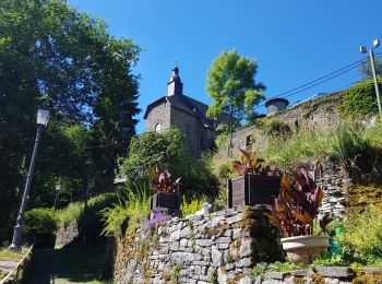
Walking


Walking
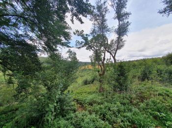
Walking
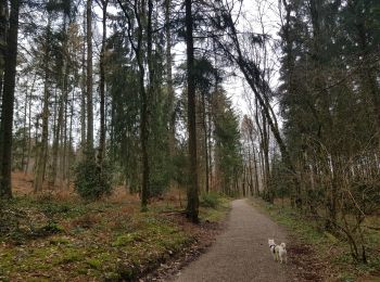
Walking
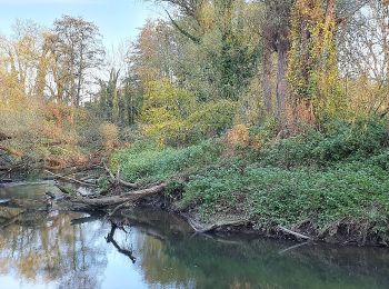
Walking
Walking

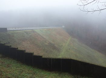
Walking

Walking
On foot
• Trail created by Naturfreunde NRW. Symbol: Grüner Wanderer auf blauen Wellen mit Überschrift WasserWege auf weißem G...
On foot
• Trail created by Rursee-Touristik.
On foot
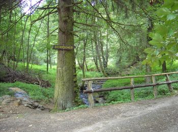
• Trail created by Eifelverein OG Eicherscheid.
On foot
• Trail created by Eifelverein OG Eicherscheid.
On foot
• Trail created by Eifelverein OG Eicherscheid.
On foot
• Trail created by Eifelverein - OG Eicherscheid.
On foot
• Trail created by Eifelverein.
On foot
• Trail created by Eifelverein Simmerath.
On foot
• Trail created by Eifelverein Eicherscheid.
On foot
• Trail created by Eifelverein.
On foot
• Trail created by Eifelverein Simmerath.
On foot
• Trail created by Eifelverein Lammersdorf.
20 trails displayed on 252
FREE GPS app for hiking
 SityTrail
IGN / Geographical institutes
SityTrail World
The world is yours!