Balve, Märkischer Kreis, On foot: Best trails, routes and walks

Balve: Discover the best trails: 21 on foot. All these trails, routes and outdoor activities are available in our SityTrail applications for smartphones and tablets.


The best trails (21)
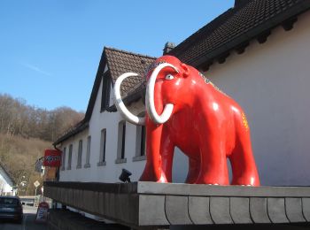
Trail On foot Balve - Bergbauwanderweg - Photo
On foot 7.681
Km
GUIDE+

On foot

Easy
Balve, North Rhine-Westphalia, Märkischer Kreis, Germany
7.7 km | 9.8 km-effort
2h 13min
155 m
158 m
Yes
SityTrail - itinéraires balisés pédestres

• Trail created by Historischer Verein Langenholthausen.
Trail On foot Balve - Beckumer Rundweg - Photo
On foot 5.82
Km
GUIDE+

On foot

Easy
Balve, North Rhine-Westphalia, Märkischer Kreis, Germany
5.8 km | 8.4 km-effort
1h 54min
222 m
108 m
No
SityTrail - itinéraires balisés pédestres

• Symbol: Weißes B in weißem Kreis auf schwarzem Grund
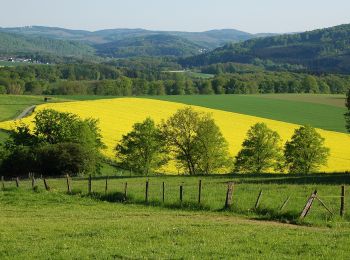
Trail On foot Balve - Eisborn Rundweg A4 - Photo
On foot 3.873
Km
GUIDE+

On foot

Easy
Balve, North Rhine-Westphalia, Märkischer Kreis, Germany
3.9 km | 4.6 km-effort
1h 2min
55 m
53 m
Yes
SityTrail - itinéraires balisés pédestres

• Trail created by Sauerländischer Gebirgsverein. Symbol: Weiße A4 auf schwarzem Grund
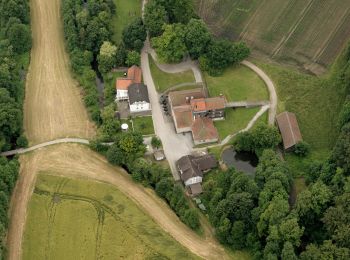
Trail On foot Balve - Mellen Rundweg A1 - Photo
On foot 4.479
Km
GUIDE+

On foot

Easy
Balve, North Rhine-Westphalia, Märkischer Kreis, Germany
4.5 km | 5.7 km-effort
1h 17min
80 m
116 m
No
SityTrail - itinéraires balisés pédestres

• Trail created by Sauerländischer Gebirgsverein. Symbol: Weiße A1 auf schwarzem Grund

Trail On foot Balve - Mellen Rundweg A3 - Photo
On foot 5.274
Km
GUIDE+

On foot

Easy
Balve, North Rhine-Westphalia, Märkischer Kreis, Germany
5.3 km | 7.3 km-effort
1h 39min
153 m
153 m
Yes
SityTrail - itinéraires balisés pédestres

• Trail created by Sauerländischer Gebirgsverein. Symbol: Weiße A3 auf schwarzem Grund
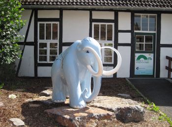
Trail On foot Balve - Mellen Rundweg L - Photo
On foot 5.468
Km
GUIDE+

On foot

Easy
Balve, North Rhine-Westphalia, Märkischer Kreis, Germany
5.5 km | 7.7 km-effort
1h 44min
180 m
122 m
No
SityTrail - itinéraires balisés pédestres

• Trail created by Sauerländischer Gebirgsverein. Symbol: Rotes L auf weißem Grund
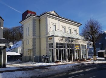
Trail On foot Balve - Verbindungsweg Balve - Stephanopel - Photo
On foot 6.577
Km
GUIDE+

On foot

Easy
Balve, North Rhine-Westphalia, Märkischer Kreis, Germany
6.6 km | 10.3 km-effort
2h 20min
294 m
230 m
No
SityTrail - itinéraires balisés pédestres

• Trail created by Sauerländischer Gebirgsverein. Symbol: Weiß <> auf schwarzem Grund
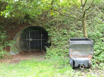
Trail On foot Balve - Mellen Rundweg A4 - Photo
On foot 6.855
Km
GUIDE+

On foot

Easy
Balve, North Rhine-Westphalia, Märkischer Kreis, Germany
6.9 km | 8.3 km-effort
1h 52min
105 m
106 m
Yes
SityTrail - itinéraires balisés pédestres

• Trail created by Sauerländischer Gebirgsverein. Symbol: Weiße A4 auf schwarzem Grund

Trail On foot Balve - Mellen Rundweg A2 - Photo
On foot 5.47
Km
GUIDE+

On foot

Easy
Balve, North Rhine-Westphalia, Märkischer Kreis, Germany
5.5 km | 7.2 km-effort
1h 38min
146 m
79 m
No
SityTrail - itinéraires balisés pédestres

• Trail created by Sauerländischer Gebirgsverein. Symbol: Weiße A2 auf schwarzem Grund
Trail On foot Balve - Balve Rundweg A9 - Photo
On foot 5.25
Km
GUIDE+

On foot

Easy
Balve, North Rhine-Westphalia, Märkischer Kreis, Germany
5.2 km | 6.4 km-effort
1h 27min
90 m
88 m
No
SityTrail - itinéraires balisés pédestres

• Trail created by Sauerländischer Gebirgsverein. Symbol: Weiße A9 auf schwarzem Grund
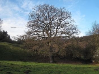
Trail On foot Balve - Balve Rundweg A1 - Photo
On foot 6.366
Km
GUIDE+

On foot

Easy
Balve, North Rhine-Westphalia, Märkischer Kreis, Germany
6.4 km | 9.2 km-effort
2h 5min
224 m
171 m
No
SityTrail - itinéraires balisés pédestres

• Trail created by Sauerländischer Gebirgsverein. Symbol: Weiße A1 auf schwarzem Grund

Trail On foot Balve - Balve Rundweg A0 - Photo
On foot 9.762
Km
GUIDE+

On foot

Easy
Balve, North Rhine-Westphalia, Märkischer Kreis, Germany
9.8 km | 13.4 km-effort
3h 2min
272 m
276 m
Yes
SityTrail - itinéraires balisés pédestres

• Trail created by Sauerländischer Gebirgsverein. Symbol: Weiße A0 auf schwarzem Grund

Trail On foot Balve - Balve Rundweg A4 - Photo
On foot 3.857
Km
GUIDE+

On foot

Easy
Balve, North Rhine-Westphalia, Märkischer Kreis, Germany
3.9 km | 4.7 km-effort
1h 3min
61 m
60 m
Yes
SityTrail - itinéraires balisés pédestres

• Trail created by Sauerländischer Gebirgsverein. Symbol: Weiße A4 auf schwarzem Grund
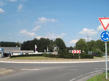
Trail On foot Balve - Garbeck Rundweg A1 - Photo
On foot 4.204
Km
GUIDE+

On foot

Easy
Balve, North Rhine-Westphalia, Märkischer Kreis, Germany
4.2 km | 5 km-effort
1h 8min
54 m
85 m
No
SityTrail - itinéraires balisés pédestres

• Trail created by Sauerländischer Gebirgsverein. Symbol: Weiße A1 auf schwarzem Grund

Trail On foot Balve - Balve Rundweg A2 - Photo
On foot 3.114
Km
GUIDE+

On foot

Easy
Balve, North Rhine-Westphalia, Märkischer Kreis, Germany
3.1 km | 4.6 km-effort
1h 2min
132 m
44 m
No
SityTrail - itinéraires balisés pédestres

• Trail created by Sauerländischer Gebirgsverein. Symbol: Weiße A2 auf schwarzem Rechteck
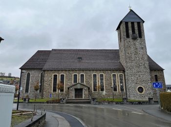
Trail On foot Balve - Garbeck Rundweg A5 - Photo
On foot 4.595
Km
GUIDE+

On foot

Easy
Balve, North Rhine-Westphalia, Märkischer Kreis, Germany
4.6 km | 6.7 km-effort
1h 30min
162 m
135 m
No
SityTrail - itinéraires balisés pédestres

• Trail created by Sauerländischer Gebirgsverein. Symbol: Weiße A5 auf schwarzem Rechteck
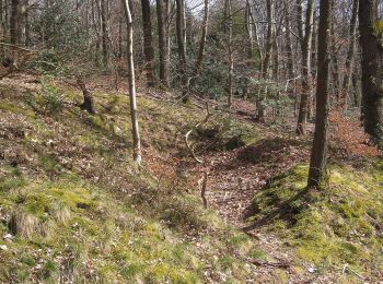
Trail On foot Balve - Deilinghofen Rundweg 3 - Photo
On foot 9.096
Km
GUIDE+

On foot

Easy
Balve, North Rhine-Westphalia, Märkischer Kreis, Germany
9.1 km | 12.9 km-effort
2h 55min
283 m
285 m
Yes
SityTrail - itinéraires balisés pédestres

• Symbol: weiße "3" auf schwarzem Grund
Trail On foot Balve - Langscheid Rundweg L4 - Photo
On foot 11.097
Km
GUIDE+

On foot

Easy
Balve, North Rhine-Westphalia, Märkischer Kreis, Germany
11.1 km | 14.6 km-effort
3h 19min
267 m
257 m
Yes
SityTrail - itinéraires balisés pédestres

Trail On foot Balve - Balve Rundweg A8 - Photo
On foot 3.515
Km
GUIDE+

On foot

Easy
Balve, North Rhine-Westphalia, Märkischer Kreis, Germany
3.5 km | 4.4 km-effort
1h 0min
53 m
121 m
No
SityTrail - itinéraires balisés pédestres

• Trail created by Sauerländischer Gebirgsverein. Symbol: Weiße A8 auf schwarzem Grund

Trail On foot Balve - Garbecker Rundweg - Photo
On foot 5.504
Km
GUIDE+

On foot

Easy
Balve, North Rhine-Westphalia, Märkischer Kreis, Germany
5.5 km | 6.8 km-effort
1h 32min
64 m
200 m
No
SityTrail - itinéraires balisés pédestres

• Trail created by Sauerländischer Gebirgsverein. Symbol: Weißes G in weißem Kreis auf schwarzem Grund

20 trails displayed on 21

FREE GPS app for hiking

Logo SityTrail SityTrail

IGN / Geographical institutes

Download SityTrail from the App Store Download SityTrail from Google Play

Logo SityTrail SityTrail World

The world is yours!

Download SityTrail from the App Store Download SityTrail from Google Play Download SityTrail on Huawei AppGallery

Activities

Close
My subscriptions