


5.6 km | 6.1 km-effort
Lübbecke: Discover the best trails: 9 on foot. All these trails, routes and outdoor activities are available in our SityTrail applications for smartphones and tablets.
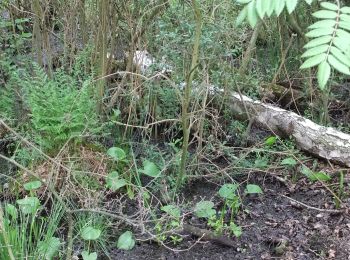
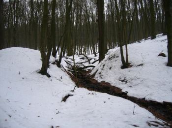
On foot


• Trail created by Ev.-Luth. Kirchengemeinde Gehlenbeck. Symbol: Gelbe Bischofsmütze auf rotem Grund Website: https:...
On foot
• Trail created by Ev.-Luth. Kirchengemeinde Gehlenbeck. Symbol: Gelbe Bischofsmütze auf rotem Grund Website: https:...
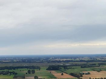
On foot
• Trail created by Stadt Preußisch Oldendorf.

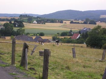
On foot
• Trail created by Stadt Lübbecke.

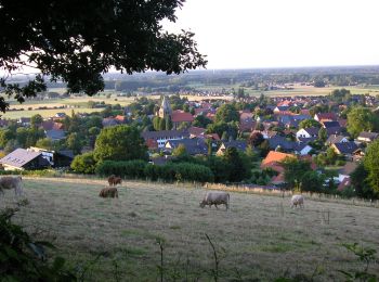
On foot
• Trail created by Stadt Lübbecke.
On foot
• Trail created by Stadt Lübbecke.
On foot
• Trail created by Stadt Lübbecke.
On foot
• Trail created by Stadt Lübbecke.

On foot
• Trail created by Gemeinde Hille.
9 trails displayed on 9
FREE GPS app for hiking
 SityTrail
IGN / Geographical institutes
SityTrail World
The world is yours!