


4.5 km | 4.7 km-effort
Lübben (Spreewald): Discover the best trails: 9 on foot. All these trails, routes and outdoor activities are available in our SityTrail applications for smartphones and tablets.

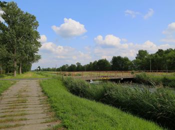
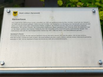
On foot


• Symbol: grüner Punkt auf weißem Grund

On foot
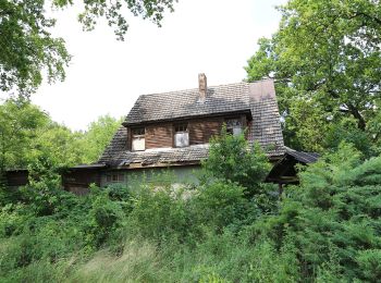
• Symbol: horizontaler grüner Balken auf weißem Grund
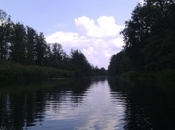
On foot
• Symbol: horizontaler grüner Balken auf weißem Grund

On foot
• Symbol: horizontaler gelber Balken auf weißem Grund

On foot
• Symbol: grüner Punkt auf weißem Grund

On foot
• teilweise schlecht ausgeschildert Symbol: gelber Punkt auf weißem Quadrat
On foot
On foot
On foot
9 trails displayed on 9
FREE GPS app for hiking
 SityTrail
IGN / Geographical institutes
SityTrail World
The world is yours!