


6.8 km | 9.2 km-effort
Widdern: Discover the best trails: 8 on foot. All these trails, routes and outdoor activities are available in our SityTrail applications for smartphones and tablets.
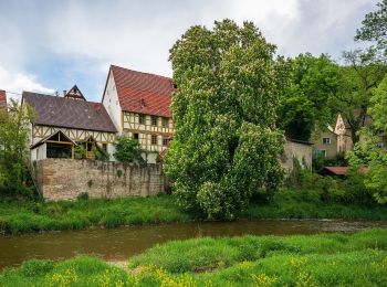
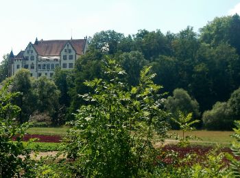
On foot


• Trail created by Touristikgemeinschaft HeilbronnerLand e. V..
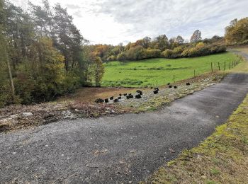
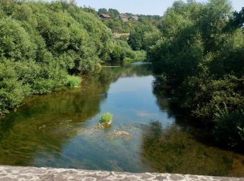
On foot
• Trail created by Touristikgemeinschaft HeilbronnerLand e. V..
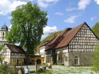
On foot
• Trail created by Touristikgemeinschaft HeilbronnerLand e. V..
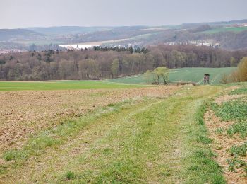
On foot
• Trail created by Touristikgemeinschaft HeilbronnerLand e. V..
On foot
• Trail created by Touristikgemeinschaft HeilbronnerLand e. V..
On foot
• Trail created by Gemeinde Jagsthausen. Symbol: weiße 6 auf blauem Kreis
On foot
• Trail created by Gemeinde Jagsthausen. Symbol: weiße 8 in blauem Kreis
On foot
• Trail created by Gemeinde Jagsthausen. Symbol: weiße 5 auf blauem Kreis
8 trails displayed on 8
FREE GPS app for hiking
 SityTrail
IGN / Geographical institutes
SityTrail World
The world is yours!