![](/images/other/stat-length.png)
- Trails
- On foot
- Germany
- Baden-Württemberg
- Landkreis Rottweil
- Deißlingen
Deißlingen, Landkreis Rottweil, On foot: Best trails, routes and walks
Deißlingen: Discover the best trails: 5 on foot. All these trails, routes and outdoor activities are available in our SityTrail applications for smartphones and tablets.
The best trails (5)
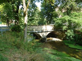
![Trail On foot Deißlingen - SAV rote Gabel Wildenstein - Maienbühl Dauchingen Schwenningen - Photo](https://media.geolcdn.com/t/350/260/96a7e94e-8b14-474e-8394-691321662ee8.jpeg&format=jpg&maxdim=2)
![On foot On foot](https://static1.geolcdn.com/sitytour/trail-icons/100.png)
Km
On foot
![](/images/other/stat-length.png)
![](https://static1.geolcdn.com/siteimages/upload/files/1508320355ic_sort_den_pos_24dp.png)
![](https://static1.geolcdn.com/siteimages/upload/files/1508320355ic_sort_den_neg_24dp.png)
![](https://static1.geolcdn.com/siteimages/upload/files/16400158638029165_repeat_loop_refresh_sync_direction_icon.png)
• Trail created by Schwäbischer Albverein. Symbol: rote Gabel auf weißem Quadrat
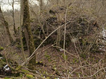
![Trail On foot Deißlingen - SAV rotes Plus Maienbühl-Oberrotenstein - Photo](https://media.geolcdn.com/t/350/260/93743c74-53d7-4085-83fd-817da1652b63.jpeg&format=jpg&maxdim=2)
![On foot On foot](https://static1.geolcdn.com/sitytour/trail-icons/100.png)
Km
On foot
![](/images/other/stat-length.png)
![](https://static1.geolcdn.com/siteimages/upload/files/1508320355ic_sort_den_pos_24dp.png)
![](https://static1.geolcdn.com/siteimages/upload/files/1508320355ic_sort_den_neg_24dp.png)
![](https://static1.geolcdn.com/siteimages/upload/files/16400158638029165_repeat_loop_refresh_sync_direction_icon.png)
• Trail created by Schwäbischer Alb Verein. Symbol: red cross on white background
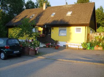
![Trail On foot Deißlingen - Maienbühl-Sinkingen - Photo](https://media.geolcdn.com/t/350/260/44373997-e132-40b9-b59e-76110e10781e.jpeg&format=jpg&maxdim=2)
![On foot On foot](https://static1.geolcdn.com/sitytour/trail-icons/100.png)
Km
On foot
![](/images/other/stat-length.png)
![](https://static1.geolcdn.com/siteimages/upload/files/1508320355ic_sort_den_pos_24dp.png)
![](https://static1.geolcdn.com/siteimages/upload/files/1508320355ic_sort_den_neg_24dp.png)
![](https://static1.geolcdn.com/siteimages/upload/files/16400158638029165_repeat_loop_refresh_sync_direction_icon.png)
• Trail created by Schwarzwaldverein. Symbol: yellow diamond on white background
![Trail On foot Deißlingen - Rottweil - Lauffen - Trossingen - Lupfen - Photo](https://media.geolcdn.com/t/350/260/79665d16-5935-428e-9af0-40ea3ef97e00.jpeg&format=jpg&maxdim=2)
![On foot On foot](https://static1.geolcdn.com/sitytour/trail-icons/100.png)
Km
On foot
![](/images/other/stat-length.png)
![](https://static1.geolcdn.com/siteimages/upload/files/1508320355ic_sort_den_pos_24dp.png)
![](https://static1.geolcdn.com/siteimages/upload/files/1508320355ic_sort_den_neg_24dp.png)
![](https://static1.geolcdn.com/siteimages/upload/files/16400158638029165_repeat_loop_refresh_sync_direction_icon.png)
• Trail created by Schwäbischer Albverein. Symbol: liegendes blaues Dreieck auf weißem Grund
![Trail On foot Deißlingen - Rottweil / Deißlingen - Aixheim - Klippeneck/Dreifaltigkeitsberg - Photo](https://media.geolcdn.com/t/350/260/4afb36c2-8d09-4ceb-9fb3-05ca3b723f46.jpeg&format=jpg&maxdim=2)
![On foot On foot](https://static1.geolcdn.com/sitytour/trail-icons/100.png)
Km
On foot
![](/images/other/stat-length.png)
![](https://static1.geolcdn.com/siteimages/upload/files/1508320355ic_sort_den_pos_24dp.png)
![](https://static1.geolcdn.com/siteimages/upload/files/1508320355ic_sort_den_neg_24dp.png)
![](https://static1.geolcdn.com/siteimages/upload/files/16400158638029165_repeat_loop_refresh_sync_direction_icon.png)
• Trail created by Schwäbischer Albverein. Symbol: liegendes blaues Dreieck auf weißem Grund
5 trails displayed on 5
FREE GPS app for hiking