


13.2 km | 15.5 km-effort
Landkreis Starnberg: Discover the best trails: 10 on foot. All these trails, routes and outdoor activities are available in our SityTrail applications for smartphones and tablets.
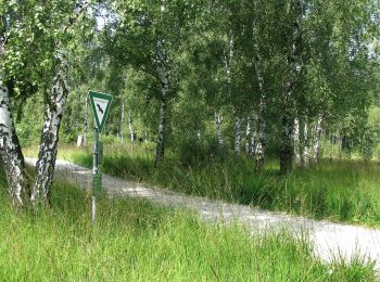
On foot


• Trail created by Zeitreise Gilching e.V..
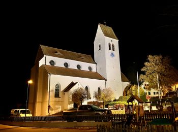
On foot
• Trail created by Zeitreise Gilching e.V.. Website: https://www.zeitreise-gilching.de/geschichte-erleben/in-gilchin...
On foot
• Trail created by Gesellschaft für Archäologie und Ortsgeschichte Gilchings. Symbol: bajuwarischer Löwe, roter Pfeil
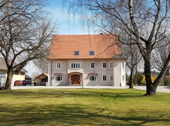
On foot

On foot
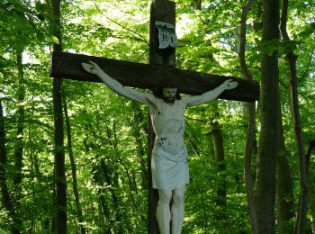
On foot

On foot
• Trail created by Rotary Club Wörthsee.
On foot
On foot
On foot
10 trails displayed on 10
FREE GPS app for hiking
 SityTrail
IGN / Geographical institutes
SityTrail World
The world is yours!