![](/images/other/stat-length.png)
- Trails
- On foot
- Germany
- Bavaria
- Landkreis Neustadt an der Aisch-Bad Windsheim
- Neustadt an der Aisch
Neustadt an der Aisch, Landkreis Neustadt an der Aisch-Bad Windsheim, On foot: Best trails, routes and walks
Neustadt an der Aisch: Discover the best trails: 8 on foot. All these trails, routes and outdoor activities are available in our SityTrail applications for smartphones and tablets.
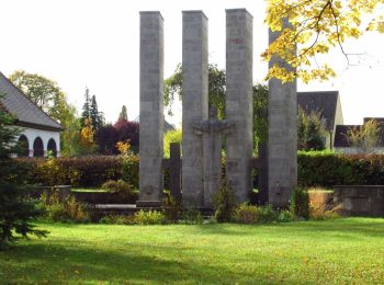
The best trails (8)
![Trail On foot Neustadt an der Aisch - Pfalzbachschluch - Photo](https://media.geolcdn.com/t/350/260/9c552982-e5fa-4a5e-86e8-c07140d5b115.jpeg&format=jpg&maxdim=2)
![On foot On foot](https://static1.geolcdn.com/sitytour/trail-icons/100.png)
Km
On foot
![](/images/other/stat-length.png)
![](https://static1.geolcdn.com/siteimages/upload/files/1508320355ic_sort_den_pos_24dp.png)
![](https://static1.geolcdn.com/siteimages/upload/files/1508320355ic_sort_den_neg_24dp.png)
![](https://static1.geolcdn.com/siteimages/upload/files/16400158638029165_repeat_loop_refresh_sync_direction_icon.png)
• Trail created by Stadt Neustadt/Aisch. Symbol: Schwarze N3 auf gelbem Hintergrund
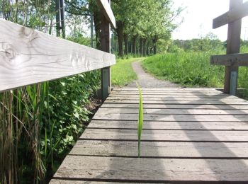
![Trail On foot Neustadt an der Aisch - Schweinbach-Wanderweg - Photo](https://media.geolcdn.com/t/350/260/65c29ec1-a20e-4f8c-819a-211ca9229230.jpeg&format=jpg&maxdim=2)
![On foot On foot](https://static1.geolcdn.com/sitytour/trail-icons/100.png)
Km
On foot
![](/images/other/stat-length.png)
![](https://static1.geolcdn.com/siteimages/upload/files/1508320355ic_sort_den_pos_24dp.png)
![](https://static1.geolcdn.com/siteimages/upload/files/1508320355ic_sort_den_neg_24dp.png)
![](https://static1.geolcdn.com/siteimages/upload/files/16400158638029165_repeat_loop_refresh_sync_direction_icon.png)
• Trail created by Stadt Neustadt/Aisch. Symbol: Schwarze N8 auf gelbem Hintergrund
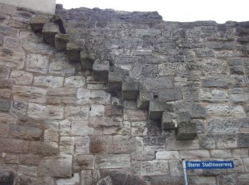
![Trail On foot Neustadt an der Aisch - Strahlbach-Tour - Photo](https://media.geolcdn.com/t/350/260/df2dac10-721d-4d61-bb99-9bf9c6b7bfff.jpeg&format=jpg&maxdim=2)
![On foot On foot](https://static1.geolcdn.com/sitytour/trail-icons/100.png)
Km
On foot
![](/images/other/stat-length.png)
![](https://static1.geolcdn.com/siteimages/upload/files/1508320355ic_sort_den_pos_24dp.png)
![](https://static1.geolcdn.com/siteimages/upload/files/1508320355ic_sort_den_neg_24dp.png)
![](https://static1.geolcdn.com/siteimages/upload/files/16400158638029165_repeat_loop_refresh_sync_direction_icon.png)
• Trail created by Stadt Neustadt/Aisch. Symbol: Schwarze N10 auf gelbem Hintergrund
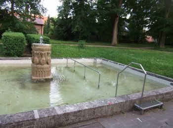
![Trail On foot Neustadt an der Aisch - Naturlehrpfad Hasengründlein - Multernschlucht - Photo](https://media.geolcdn.com/t/350/260/7fda4683-b364-44eb-8559-72de6f91fa94.jpeg&format=jpg&maxdim=2)
![On foot On foot](https://static1.geolcdn.com/sitytour/trail-icons/100.png)
Km
On foot
![](/images/other/stat-length.png)
![](https://static1.geolcdn.com/siteimages/upload/files/1508320355ic_sort_den_pos_24dp.png)
![](https://static1.geolcdn.com/siteimages/upload/files/1508320355ic_sort_den_neg_24dp.png)
![](https://static1.geolcdn.com/siteimages/upload/files/16400158638029165_repeat_loop_refresh_sync_direction_icon.png)
• Trail created by Stadt Neustadt/Aisch. Symbol: Schwarze N4 auf gelbem Hintergrund
![Trail On foot Neustadt an der Aisch - Neustädter Panoramaweg - Photo](https://media.geolcdn.com/t/350/260/9c552982-e5fa-4a5e-86e8-c07140d5b115.jpeg&format=jpg&maxdim=2)
![On foot On foot](https://static1.geolcdn.com/sitytour/trail-icons/100.png)
Km
On foot
![](/images/other/stat-length.png)
![](https://static1.geolcdn.com/siteimages/upload/files/1508320355ic_sort_den_pos_24dp.png)
![](https://static1.geolcdn.com/siteimages/upload/files/1508320355ic_sort_den_neg_24dp.png)
![](https://static1.geolcdn.com/siteimages/upload/files/16400158638029165_repeat_loop_refresh_sync_direction_icon.png)
• Trail created by Stadt Neustadt/Aisch. Symbol: Schwarze N2 auf gelbem Hintergrund
![Trail On foot Neustadt an der Aisch - Rundwanderweg Neustadt/Aisch N 5 - Photo](https://media.geolcdn.com/t/350/260/673b6fe8-7584-4f68-8a9e-3703126a6aaa.jpeg&format=jpg&maxdim=2)
![On foot On foot](https://static1.geolcdn.com/sitytour/trail-icons/100.png)
Km
On foot
![](/images/other/stat-length.png)
![](https://static1.geolcdn.com/siteimages/upload/files/1508320355ic_sort_den_pos_24dp.png)
![](https://static1.geolcdn.com/siteimages/upload/files/1508320355ic_sort_den_neg_24dp.png)
![](https://static1.geolcdn.com/siteimages/upload/files/16400158638029165_repeat_loop_refresh_sync_direction_icon.png)
• Trail created by Stadt Neustadt/Aisch. Symbol: Schwarze N5 auf gelbem Hintergrund
![Trail On foot Neustadt an der Aisch - Rote Nordic Walking Strecke - Photo](https://media.geolcdn.com/t/350/260/537e3f5c-fc0b-4c47-b8f6-5756f0b1e085.jpeg&format=jpg&maxdim=2)
![On foot On foot](https://static1.geolcdn.com/sitytour/trail-icons/100.png)
Km
On foot
![](/images/other/stat-length.png)
![](https://static1.geolcdn.com/siteimages/upload/files/1508320355ic_sort_den_pos_24dp.png)
![](https://static1.geolcdn.com/siteimages/upload/files/1508320355ic_sort_den_neg_24dp.png)
![](https://static1.geolcdn.com/siteimages/upload/files/16400158638029165_repeat_loop_refresh_sync_direction_icon.png)
• Trail created by Stadt Neustadt/Aisch. Symbol: Stilisierter roter Nordic-Walker auf weißem Hintergrund
![Trail On foot Neustadt an der Aisch - Grüne Nordic Walking Strecke - Photo](https://media.geolcdn.com/t/350/260/ext.jpg?maxdim=2&url=https%3A%2F%2Fstatic1.geolcdn.com%2Fsiteimages%2Fupload%2Ffiles%2F1545311037marcheuse_200dpi.jpg)
![On foot On foot](https://static1.geolcdn.com/sitytour/trail-icons/100.png)
Km
On foot
![](/images/other/stat-length.png)
![](https://static1.geolcdn.com/siteimages/upload/files/1508320355ic_sort_den_pos_24dp.png)
![](https://static1.geolcdn.com/siteimages/upload/files/1508320355ic_sort_den_neg_24dp.png)
![](https://static1.geolcdn.com/siteimages/upload/files/16400158638029165_repeat_loop_refresh_sync_direction_icon.png)
• Symbol: Stilisierter grüner Nordic-Walker auf weißem Hintergrund
8 trails displayed on 8
FREE GPS app for hiking