Kasendorf, Landkreis Kulmbach, On foot: Best trails, routes and walks

Kasendorf: Discover the best trails: 6 on foot. All these trails, routes and outdoor activities are available in our SityTrail applications for smartphones and tablets.


The best trails (6)
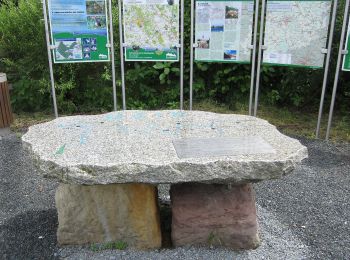
Trail On foot Kasendorf - Verbindungsweg Lindenberg - Katschenreuth - Photo
On foot 6.496
Km
GUIDE+

On foot

Easy
Kasendorf, Bavaria, Landkreis Kulmbach, Germany
6.5 km | 7.9 km-effort
1h 47min
74 m
196 m
No
SityTrail - itinéraires balisés pédestres

• Trail created by Markt Thurnau. Symbol: Rotes Andreaskreuz auf weißem Hintergrund
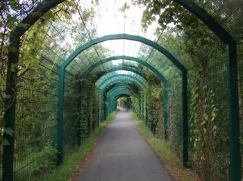
Trail On foot Kasendorf - Rundweg Roter Ring Thurnau - Photo
On foot 10.749
Km
GUIDE+

On foot

Easy
Kasendorf, Bavaria, Landkreis Kulmbach, Germany
10.7 km | 14.7 km-effort
3h 20min
296 m
295 m
Yes
SityTrail - itinéraires balisés pédestres

• Trail created by Markt Thurnau. Symbol: Roter Ring auf weißem Hintergrund
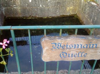
Trail On foot Kasendorf - Modschiedeler Weg - Photo
On foot 10.839
Km
GUIDE+

On foot

Easy
Kasendorf, Bavaria, Landkreis Kulmbach, Germany
10.8 km | 12.8 km-effort
2h 54min
127 m
213 m
No
SityTrail - itinéraires balisés pédestres

• Trail created by Landkreis Lichtenfels. Symbol: Roter Punkt auf weißem Hintergrund
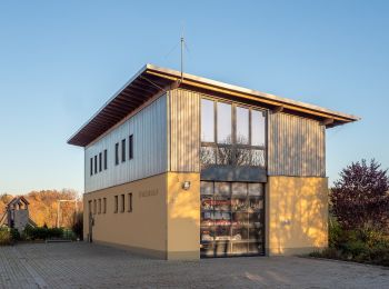
Trail On foot Kasendorf - Wunkendorfer Querweg - Photo
On foot 11.685
Km
GUIDE+

On foot

Easy
Kasendorf, Bavaria, Landkreis Kulmbach, Germany
11.7 km | 15.3 km-effort
3h 29min
271 m
280 m
No
SityTrail - itinéraires balisés pédestres

• Trail created by Landkreis Lichtenfels. Symbol: Gelbe Raute liegend auf weißem Hintergrund
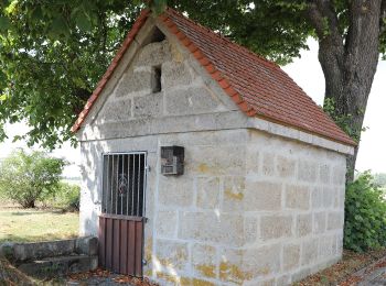
Trail On foot Kasendorf - Seniorenweg Zultenberg - Azendorf - Photo
On foot 6.317
Km
GUIDE+

On foot

Easy
Kasendorf, Bavaria, Landkreis Kulmbach, Germany
6.3 km | 7.6 km-effort
1h 43min
95 m
97 m
Yes
SityTrail - itinéraires balisés pédestres

• Trail created by Otto Arnold, Zultenberg. Symbol: Weißer Wanderer auf grünem Grund

Trail On foot Kasendorf - Dr.-Fritz-Hornschuh-Naturlehrpfad - Photo
On foot 9.443
Km
GUIDE+

On foot

Easy
Kasendorf, Bavaria, Landkreis Kulmbach, Germany
9.4 km | 14.2 km-effort
3h 13min
356 m
366 m
Yes
SityTrail - itinéraires balisés pédestres

• Trail created by Gemeinde Kasendorf. Symbol: weiß blau

6 trails displayed on 6

FREE GPS app for hiking

Logo SityTrail SityTrail

IGN / Geographical institutes

Download SityTrail from the App Store Download SityTrail from Google Play

Logo SityTrail SityTrail World

The world is yours!

Download SityTrail from the App Store Download SityTrail from Google Play Download SityTrail on Huawei AppGallery

Activities

Close
My subscriptions