![](/images/other/stat-length.png)
- Trails
- On foot
- Germany
- Bavaria
- Landkreis Haßberge
- Pfarrweisach
Pfarrweisach, Landkreis Haßberge, On foot: Best trails, routes and walks
Pfarrweisach: Discover the best trails: 4 on foot. All these trails, routes and outdoor activities are available in our SityTrail applications for smartphones and tablets.
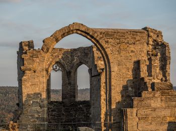
The best trails (4)
![Trail On foot Pfarrweisach - Erlebnistour am Burgen- und Schlösserwanderweg - Photo](https://media.geolcdn.com/t/350/260/28d56464-ec04-48cb-8c41-8345b2f3f80f.jpeg&format=jpg&maxdim=2)
![On foot On foot](https://static1.geolcdn.com/sitytour/trail-icons/100.png)
Km
On foot
![](/images/other/stat-length.png)
![](https://static1.geolcdn.com/siteimages/upload/files/1508320355ic_sort_den_pos_24dp.png)
![](https://static1.geolcdn.com/siteimages/upload/files/1508320355ic_sort_den_neg_24dp.png)
![](https://static1.geolcdn.com/siteimages/upload/files/16400158638029165_repeat_loop_refresh_sync_direction_icon.png)
• Trail created by Naturpark Haßberge. Symbol: Roter Burgturm auf weißem Hintergrund
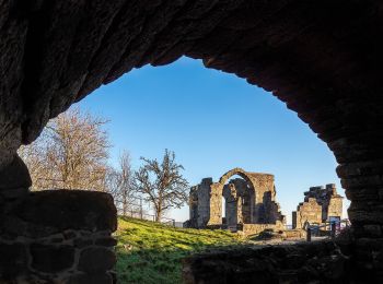
![Trail On foot Pfarrweisach - Lauftour PFW1 - Photo](https://media.geolcdn.com/t/350/260/6ad24ac8-07e6-4cbd-b449-0af97f9ee765.jpeg&format=jpg&maxdim=2)
![On foot On foot](https://static1.geolcdn.com/sitytour/trail-icons/100.png)
Km
On foot
![](/images/other/stat-length.png)
![](https://static1.geolcdn.com/siteimages/upload/files/1508320355ic_sort_den_pos_24dp.png)
![](https://static1.geolcdn.com/siteimages/upload/files/1508320355ic_sort_den_neg_24dp.png)
![](https://static1.geolcdn.com/siteimages/upload/files/16400158638029165_repeat_loop_refresh_sync_direction_icon.png)
• Trail created by Landkreis Haßberge/Laufparadies Haßberge. Symbol: Blaues PFW1 auf weißem Hintergrund
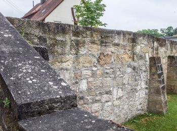
![Trail On foot Pfarrweisach - Rundwanderweg Fasan Pfarrweissach - Photo](https://media.geolcdn.com/t/350/260/48a8f99e-1d91-4548-92e2-827d6867b616.jpeg&format=jpg&maxdim=2)
![On foot On foot](https://static1.geolcdn.com/sitytour/trail-icons/100.png)
Km
On foot
![](/images/other/stat-length.png)
![](https://static1.geolcdn.com/siteimages/upload/files/1508320355ic_sort_den_pos_24dp.png)
![](https://static1.geolcdn.com/siteimages/upload/files/1508320355ic_sort_den_neg_24dp.png)
![](https://static1.geolcdn.com/siteimages/upload/files/16400158638029165_repeat_loop_refresh_sync_direction_icon.png)
• Trail created by Gemeinde Pfarrweissach. Symbol: Schwarzer Fasan auf gelbem Hintergrund
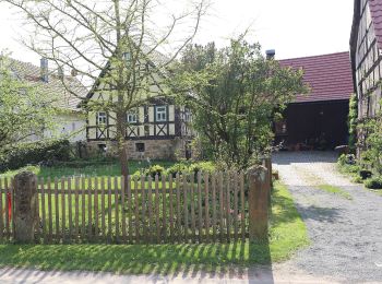
![Trail On foot Pfarrweisach - Rundwanderweg Wildschwein Pfarrweissach - Photo](https://media.geolcdn.com/t/350/260/390c4517-9341-4095-9dee-49986bbb1474.jpeg&format=jpg&maxdim=2)
![On foot On foot](https://static1.geolcdn.com/sitytour/trail-icons/100.png)
Km
On foot
![](/images/other/stat-length.png)
![](https://static1.geolcdn.com/siteimages/upload/files/1508320355ic_sort_den_pos_24dp.png)
![](https://static1.geolcdn.com/siteimages/upload/files/1508320355ic_sort_den_neg_24dp.png)
![](https://static1.geolcdn.com/siteimages/upload/files/16400158638029165_repeat_loop_refresh_sync_direction_icon.png)
• Trail created by Gemeinde Pfarrweissach. Symbol: Schwarzes Wildschwein auf gelbem Hintergrund
4 trails displayed on 4
FREE GPS app for hiking