Untermerzbach, Landkreis Haßberge, On foot: Best trails, routes and walks

Untermerzbach: Discover the best trails: 7 on foot. All these trails, routes and outdoor activities are available in our SityTrail applications for smartphones and tablets.


The best trails (7)
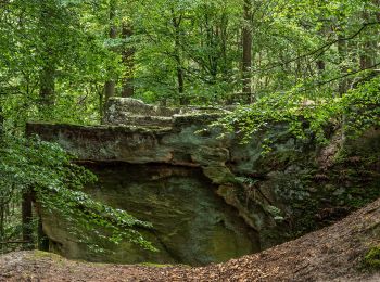
Trail On foot Untermerzbach - Lauftour UMB2 - Photo
On foot 12.656
Km
GUIDE+

On foot

Easy
Untermerzbach, Bavaria, Landkreis Haßberge, Germany
12.7 km | 17 km-effort
3h 51min
327 m
326 m
Yes
SityTrail - itinéraires balisés pédestres

• Trail created by Landkreis Haßberge. Symbol: Blaue UMB2 auf weißem Hintergrund
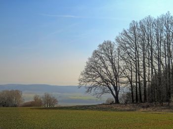
Trail On foot Untermerzbach - Lauftour UMB1 - Photo
On foot 9.779
Km
GUIDE+

On foot

Easy
Untermerzbach, Bavaria, Landkreis Haßberge, Germany
9.8 km | 13.7 km-effort
3h 6min
294 m
294 m
Yes
SityTrail - itinéraires balisés pédestres

• Trail created by Landkreis Haßberge. Symbol: Blaue UMB1 auf weißem Hintergrund

Trail On foot Untermerzbach - Rundwanderweg Reh Untermerzbach - Photo
On foot 3.258
Km
GUIDE+

On foot

Easy
Untermerzbach, Bavaria, Landkreis Haßberge, Germany
3.3 km | 4.5 km-effort
1h 2min
124 m
15 m
No
SityTrail - itinéraires balisés pédestres

• Trail created by Gemeinde Untermerzbach. Symbol: Schwarzes stilisiertes Rehl auf gelbem Hintergrund
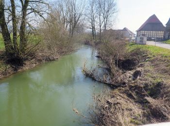
Trail On foot Untermerzbach - Rundwanderweg Milan Untermerzbach - Photo
On foot 12.989
Km
GUIDE+

On foot

Easy
Untermerzbach, Bavaria, Landkreis Haßberge, Germany
13 km | 16.9 km-effort
3h 50min
292 m
296 m
Yes
SityTrail - itinéraires balisés pédestres

• Trail created by Gemeinde Untermerzbach. Im Bereich Lkr. CO weißer Hintergrund Symbol: Schwarzer stilisierter Milan...

Trail On foot Untermerzbach - Freiberger Panoramaweg - Photo
On foot 15.068
Km
GUIDE+

On foot

Easy
Untermerzbach, Bavaria, Landkreis Haßberge, Germany
15.1 km | 19.1 km-effort
4h 20min
309 m
277 m
No
SityTrail - itinéraires balisés pédestres

• Trail created by Landkreis Lichtenfels. Zwischen T 2636 und T 0005 unmarkiert Symbol: Grüner Strich auf weißem Hint...
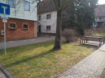
Trail On foot Untermerzbach - Pilgerweg Vierzehnheiligen - Photo
On foot 17.457
Km
GUIDE+

On foot

Medium
Untermerzbach, Bavaria, Landkreis Haßberge, Germany
17.5 km | 21 km-effort
4h 40min
263 m
149 m
No
SityTrail - itinéraires balisés pédestres

• Trail created by Landkreis Lichtenfels. Symbol: "Pilgerwegzeichen" Rote Pilgerfahne auf grauem Hintergrund
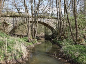
Trail On foot Untermerzbach - Fränkischer Bibelweg - Photo
On foot 10.751
Km
GUIDE+

On foot

Easy
Untermerzbach, Bavaria, Landkreis Haßberge, Germany
10.8 km | 13.5 km-effort
3h 3min
205 m
205 m
No
SityTrail - itinéraires balisés pédestres

• Trail created by Landkreis Coburg. Symbol: Violettes Alpha und Omega auf weißem Hintergrund

7 trails displayed on 7

FREE GPS app for hiking

Logo SityTrail SityTrail

IGN / Geographical institutes

Download SityTrail from the App Store Download SityTrail from Google Play

Logo SityTrail SityTrail World

The world is yours!

Download SityTrail from the App Store Download SityTrail from Google Play Download SityTrail on Huawei AppGallery

Activities

Close
My subscriptions