Landkreis Forchheim, Bavaria, On foot: Best trails, routes and walks

Landkreis Forchheim: Discover the best trails: 122 on foot. All these trails, routes and outdoor activities are available in our SityTrail applications for smartphones and tablets.


The best trails (122)
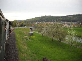
Trail On foot Pretzfeld - Lauferlebnis Fränkische Schweiz W2 - Photo
On foot 9.964
Km
GUIDE+

On foot

Easy
Pretzfeld, Bavaria, Landkreis Forchheim, Germany
10 km | 10.8 km-effort
2h 26min
61 m
61 m
Yes
SityTrail - itinéraires balisés pédestres

• Trail created by Landkreis Forchheim. Symbol: W2 in weiß auf blauem Hintergrund
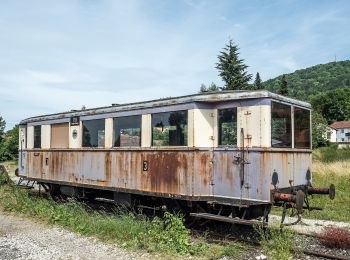
Trail On foot Pretzfeld - Lauferlebnis Fränkische Schweiz W1 - Photo
On foot 4.668
Km
GUIDE+

On foot

Easy
Pretzfeld, Bavaria, Landkreis Forchheim, Germany
4.7 km | 5 km-effort
1h 8min
25 m
25 m
Yes
SityTrail - itinéraires balisés pédestres

• Trail created by Landkreis Forchheim. Symbol: W1 in weiß auf grünem Hintergrund
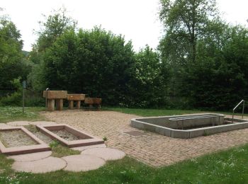
Trail On foot Forchheim - Lauferlebnis Fränkische Schweiz F1 - Photo
On foot 3.73
Km
GUIDE+

On foot

Easy
Forchheim, Bavaria, Landkreis Forchheim, Germany
3.7 km | 4.6 km-effort
1h 2min
63 m
63 m
Yes
SityTrail - itinéraires balisés pédestres

• Trail created by Landkreis Forchheim. Symbol: F1 in weiß auf grünem Hintergrund
Trail On foot Wiesenttal - Gebürgsweg - Photo
On foot 5.259
Km
GUIDE+

On foot

Easy
Wiesenttal, Bavaria, Landkreis Forchheim, Germany
5.3 km | 7.8 km-effort
1h 47min
193 m
198 m
No
SityTrail - itinéraires balisés pédestres

• Verlauf in Engelhardsberg und Muggendorf unklar Symbol: Grüner Ring auf weißem Grund

Trail On foot Weilersbach - Wanderweg Roter Schrägbalken - Photo
On foot 5.07
Km
GUIDE+

On foot

Easy
Weilersbach, Bavaria, Landkreis Forchheim, Germany
5.1 km | 5.8 km-effort
1h 19min
30 m
142 m
No
SityTrail - itinéraires balisés pédestres

• Symbol: Roter Strägbalken auf weißem Hintergrund
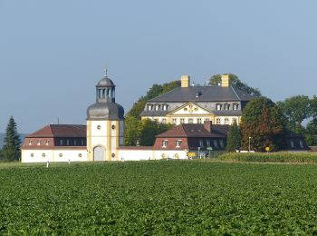
Trail On foot Eggolsheim - Lauferlebnis Fränkische Schweiz E5 - Photo
On foot 21.047
Km
GUIDE+

On foot

Medium
Eggolsheim, Bavaria, Landkreis Forchheim, Germany
21 km | 26 km-effort
5h 57min
388 m
389 m
Yes
SityTrail - itinéraires balisés pédestres

• Trail created by Landkreis Forchheim. Symbol: E5 in weiß auf schwarzem Hintergrund
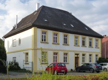
Trail On foot Eggolsheim - Lauferlebnis Fränkische Schweiz E4 - Photo
On foot 10.292
Km
GUIDE+

On foot

Easy
Eggolsheim, Bavaria, Landkreis Forchheim, Germany
10.3 km | 11.6 km-effort
2h 38min
101 m
102 m
Yes
SityTrail - itinéraires balisés pédestres

• Symbol: E4 in weiß auf dunkelgrünem Hintergrund

Trail On foot Ebermannstadt - Zielwanderweg Ebermannstadt - Vexierkapelle - Photo
On foot 7.012
Km
GUIDE+

On foot

Easy
Ebermannstadt, Bavaria, Landkreis Forchheim, Germany
7 km | 9.6 km-effort
2h 11min
237 m
79 m
No
SityTrail - itinéraires balisés pédestres

• Symbol: Grüne Spitze auf weißem Hintergrund
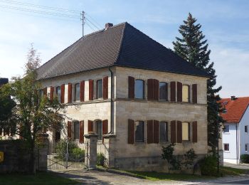
Trail On foot Eggolsheim - Hauptweg Eggolsheim - Photo
On foot 43.367
Km
GUIDE+

On foot

Very difficult
Eggolsheim, Bavaria, Landkreis Forchheim, Germany
43 km | 55 km-effort
12h 28min
862 m
862 m
Yes
SityTrail - itinéraires balisés pédestres

• Trail created by Gemeinde Eggolsheim. Wanderwegesystem der Gemeinde Eggolsheim Symbol: Eggolsheimer Wappen (Kirche)...
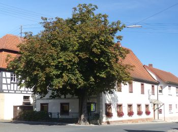
Trail On foot Eggolsheim - Trailsdorf-Ebermannstadt - Photo
On foot 19.217
Km
GUIDE+

On foot

Medium
Eggolsheim, Bavaria, Landkreis Forchheim, Germany
19.2 km | 24 km-effort
5h 29min
338 m
468 m
No
SityTrail - itinéraires balisés pédestres

• Symbol: Grüner senkrechter Strich auf weißem Hintergrund

Trail On foot Hallerndorf - Lauferlebnis Fränkische Schweiz - Photo
On foot 3.523
Km
GUIDE+

On foot

Easy
Hallerndorf, Bavaria, Landkreis Forchheim, Germany
3.5 km | 4.1 km-effort
56min
46 m
46 m
Yes
SityTrail - itinéraires balisés pédestres

• Trail created by Landratsamt Forchheim. Symbol: F4 in weiß auf grünem Hintergrund

Trail On foot Hallerndorf - Lauferlebnis Fränkische Schweiz - Photo
On foot 6.765
Km
GUIDE+

On foot

Easy
Hallerndorf, Bavaria, Landkreis Forchheim, Germany
6.8 km | 8 km-effort
1h 48min
92 m
92 m
Yes
SityTrail - itinéraires balisés pédestres

• Trail created by Landratsamt Forchheim. Symbol: F5 in weiß auf schwarzem Hintergrund
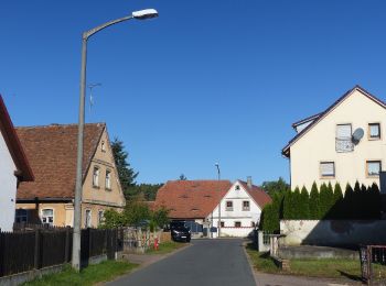
Trail On foot Hallerndorf - Rundweg Hallerndorf Grüner Ring - Photo
On foot 15.885
Km
GUIDE+

On foot

Easy
Hallerndorf, Bavaria, Landkreis Forchheim, Germany
15.9 km | 18.8 km-effort
4h 15min
216 m
216 m
Yes
SityTrail - itinéraires balisés pédestres

• Trail created by Gemeinde Hallerndorf. Symbol: Grüner Ring auf weißem Grund
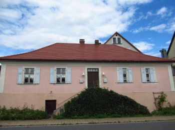
Trail On foot Pretzfeld - Lauferlebnis Fränkische Schweiz W3 - Photo
On foot 12.476
Km
GUIDE+

On foot

Easy
Pretzfeld, Bavaria, Landkreis Forchheim, Germany
12.5 km | 14.2 km-effort
3h 13min
130 m
130 m
Yes
SityTrail - itinéraires balisés pédestres

• Symbol: W3 in weiß auf rotem Hintergrund
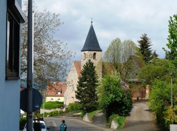
Trail On foot Forchheim - Jubiläumsweg 1914 - Photo
On foot 11.924
Km
GUIDE+

On foot

Easy
Forchheim, Bavaria, Landkreis Forchheim, Germany
11.9 km | 16.1 km-effort
3h 39min
368 m
157 m
No
SityTrail - itinéraires balisés pédestres

• Trail created by Fränkischer Albverein. Symbol: FAV-Emblem auf grünem Hintergrund
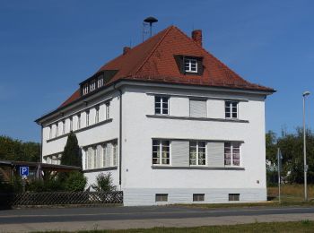
Trail On foot Hallerndorf - Rundweg Hallerndorf - Photo
On foot 13.288
Km
GUIDE+

On foot

Easy
Hallerndorf, Bavaria, Landkreis Forchheim, Germany
13.3 km | 15.8 km-effort
3h 35min
190 m
189 m
Yes
SityTrail - itinéraires balisés pédestres

• Symbol: gelber Ring auf weißem Grund

Trail On foot Eggolsheim - Lauferlebnis Fränkische Schweiz E3 - Photo
On foot 8.533
Km
GUIDE+

On foot

Easy
Eggolsheim, Bavaria, Landkreis Forchheim, Germany
8.5 km | 9.8 km-effort
2h 13min
93 m
93 m
Yes
SityTrail - itinéraires balisés pédestres

• Trail created by Landkreis Forchheim. Symbol: E3 in weiß auf rotem Hintergrund

Trail On foot Eggolsheim - Lauferlebnis Fränkische Schweiz E2 - Photo
On foot 6.144
Km
GUIDE+

On foot

Easy
Eggolsheim, Bavaria, Landkreis Forchheim, Germany
6.1 km | 6.5 km-effort
1h 28min
27 m
27 m
Yes
SityTrail - itinéraires balisés pédestres

• Trail created by Landkreis Forchheim. Symbol: E2 in weiß auf blauem Hintergrund

Trail On foot Eggolsheim - Lauferlebnis Fränkische Schweiz E1 - Photo
On foot 5.181
Km
GUIDE+

On foot

Easy
Eggolsheim, Bavaria, Landkreis Forchheim, Germany
5.2 km | 5.8 km-effort
1h 19min
49 m
50 m
Yes
SityTrail - itinéraires balisés pédestres

• Trail created by Landkreis Forchheim. Symbol: E1 in weiß auf grünem Hintergrund
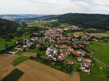
Trail On foot Leutenbach - Georg-Kanzler-Gedächtnisweg - Photo
On foot 8.411
Km
GUIDE+

On foot

Easy
Leutenbach, Bavaria, Landkreis Forchheim, Germany
8.4 km | 12 km-effort
2h 44min
273 m
269 m
Yes
SityTrail - itinéraires balisés pédestres

• Trail created by Gemeinde Leutenbach. abgeschlossen (Feb. 2013 by cycling_zno) Symbol: Blauer Ring auf weißem Grund

20 trails displayed on 122

Close
My subscriptions