
Landkreis Deggendorf, Bavaria, On foot: Best trails, routes and walks
Landkreis Deggendorf: Discover the best trails: 21 on foot. All these trails, routes and outdoor activities are available in our SityTrail applications for smartphones and tablets.
The best trails (21)
Km
On foot


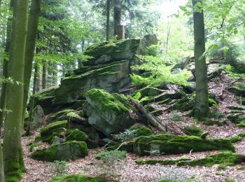
• Trail created by Wanderzentrum Rusel - Oberbreitenau und Graflinger Tal. Symbol: Weiße 4 auf rotem Quadrat
Km
On foot


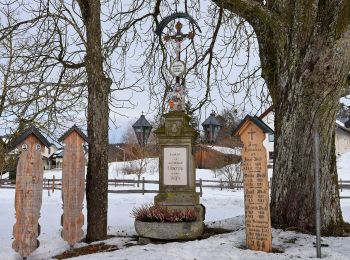
• Trail created by Wanderzentrum Rusel - Oberbreitenau und Graflinger Tal.
Km
On foot


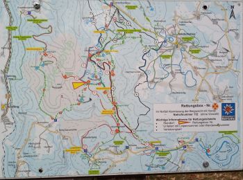
• Trail created by Wanderzentrum Rusel. Symbol: Weisse Zahl auf rotem rechteckigen Hintergrund
Km
On foot


Km
On foot


Km
On foot


Km
On foot


• Trail created by Wanderzentrum Rusel - Oberbreitenau und Graflinger Tal. Symbol: Weiße 1 auf rotem Quadrat

Km
On foot


• Trail created by Touristikverein Sonnenwald. Symbol: roter Kreis mit weißer Zahl

Km
On foot


Km
On foot


Km
On foot


• Trail created by Wanderzentrum Rusel - Oberbreitenau und Graflinger Tal. Symbol: Weiße 9 auf rotem Quadrat

Km
On foot


• Trail created by Wanderzentrum Rusel - Oberbreitenau und Graflinger Tal.

Km
On foot


• Trail created by Touristikverein Sonnenwald. Symbol: roter Kreis mit weißer Zahl

Km
On foot


• Trail created by Touristikverein Sonnenwald. Symbol: roter Kreis mit weißer Zahl

Km
On foot


• Trail created by Touristikverein Sonnenwald e.V.. Symbol: roter Kreis mit weißer Zahl

Km
On foot


Km
On foot


Km
On foot


Km
On foot


Km
On foot


20 trails displayed on 21
FREE GPS app for hiking


 SityTrail


