![](/images/other/stat-length.png)
Landkreis Aschaffenburg, Bavaria, On foot: Best trails, routes and walks
Landkreis Aschaffenburg: Discover the best trails: 169 on foot. All these trails, routes and outdoor activities are available in our SityTrail applications for smartphones and tablets.
The best trails (169)
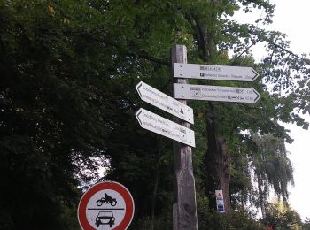
![Trail On foot Haibach - Waldlehrpfad Haibach - Photo](https://media.geolcdn.com/t/350/260/62a06696-8444-4a85-86e3-d7f0481a7431.jpeg&format=jpg&maxdim=2)
![On foot On foot](https://static1.geolcdn.com/sitytour/trail-icons/100.png)
Km
On foot
![](/images/other/stat-length.png)
![](https://static1.geolcdn.com/siteimages/upload/files/1508320355ic_sort_den_pos_24dp.png)
![](https://static1.geolcdn.com/siteimages/upload/files/1508320355ic_sort_den_neg_24dp.png)
![](https://static1.geolcdn.com/siteimages/upload/files/16400158638029165_repeat_loop_refresh_sync_direction_icon.png)
• Trail created by Gemeinde Haibach. Symbol: Schwarze Eule auf weißem Grund Website: https://www.haibach.de/index.ph...
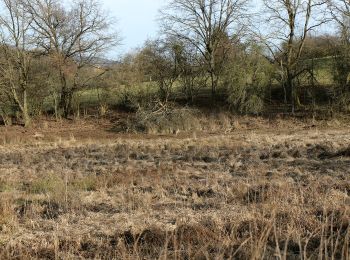
![Trail On foot Hösbach - Kulturweg Zwei Burgen und der Bloopiffer - Photo](https://media.geolcdn.com/t/350/260/23f7722d-1b65-4552-a621-0ce396debcf6.jpeg&format=jpg&maxdim=2)
![On foot On foot](https://static1.geolcdn.com/sitytour/trail-icons/100.png)
Km
On foot
![](/images/other/stat-length.png)
![](https://static1.geolcdn.com/siteimages/upload/files/1508320355ic_sort_den_pos_24dp.png)
![](https://static1.geolcdn.com/siteimages/upload/files/1508320355ic_sort_den_neg_24dp.png)
![](https://static1.geolcdn.com/siteimages/upload/files/16400158638029165_repeat_loop_refresh_sync_direction_icon.png)
• Trail created by Archäologisches Spessartprojekt.
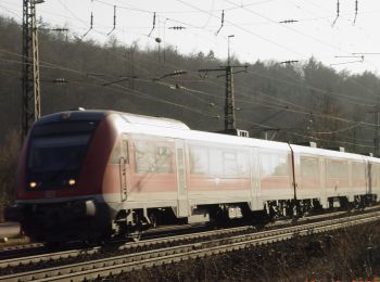
![Trail On foot Laufach - Frohnhofen Rundwanderweg F1 - Photo](https://media.geolcdn.com/t/350/260/fdff1b94-80a0-4e7f-98b6-b15761402970.jpeg&format=jpg&maxdim=2)
![On foot On foot](https://static1.geolcdn.com/sitytour/trail-icons/100.png)
Km
On foot
![](/images/other/stat-length.png)
![](https://static1.geolcdn.com/siteimages/upload/files/1508320355ic_sort_den_pos_24dp.png)
![](https://static1.geolcdn.com/siteimages/upload/files/1508320355ic_sort_den_neg_24dp.png)
![](https://static1.geolcdn.com/siteimages/upload/files/16400158638029165_repeat_loop_refresh_sync_direction_icon.png)
• Trail created by Spechte Laufach. Symbol: Schwarze F1 auf weißem Kreis
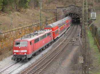
![Trail On foot Forst Hain im Spessart - Kulturweg Spessartrampe - Photo](https://media.geolcdn.com/t/350/260/524443bd-5349-4fdf-9da2-e9baf5eaf326.jpeg&format=jpg&maxdim=2)
![On foot On foot](https://static1.geolcdn.com/sitytour/trail-icons/100.png)
Km
On foot
![](/images/other/stat-length.png)
![](https://static1.geolcdn.com/siteimages/upload/files/1508320355ic_sort_den_pos_24dp.png)
![](https://static1.geolcdn.com/siteimages/upload/files/1508320355ic_sort_den_neg_24dp.png)
![](https://static1.geolcdn.com/siteimages/upload/files/16400158638029165_repeat_loop_refresh_sync_direction_icon.png)
• Trail created by Archäologisches Spessartprojekt. Symbol: Gelbe Dampflock mit EU-Sternenkreis auf blauem Grund Web...
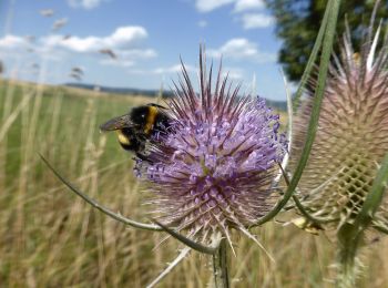
![Trail On foot Krombach - Panoramaweg Krombach - Photo](https://media.geolcdn.com/t/350/260/cbb30d15-b68d-464f-9944-c06fa9ff6432.jpeg&format=jpg&maxdim=2)
![On foot On foot](https://static1.geolcdn.com/sitytour/trail-icons/100.png)
Km
On foot
![](/images/other/stat-length.png)
![](https://static1.geolcdn.com/siteimages/upload/files/1508320355ic_sort_den_pos_24dp.png)
![](https://static1.geolcdn.com/siteimages/upload/files/1508320355ic_sort_den_neg_24dp.png)
![](https://static1.geolcdn.com/siteimages/upload/files/16400158638029165_repeat_loop_refresh_sync_direction_icon.png)
• Trail created by Gemeinde Krombach.
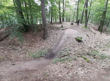
![Trail On foot Alzenau - Freigerichter Bund Alzenau 3 - Photo](https://media.geolcdn.com/t/350/260/6fbb36e6-43a9-496b-879f-130d095dbf39.jpeg&format=jpg&maxdim=2)
![On foot On foot](https://static1.geolcdn.com/sitytour/trail-icons/100.png)
Km
On foot
![](/images/other/stat-length.png)
![](https://static1.geolcdn.com/siteimages/upload/files/1508320355ic_sort_den_pos_24dp.png)
![](https://static1.geolcdn.com/siteimages/upload/files/1508320355ic_sort_den_neg_24dp.png)
![](https://static1.geolcdn.com/siteimages/upload/files/16400158638029165_repeat_loop_refresh_sync_direction_icon.png)
• Trail created by Freigerichter Bund Alzenau e.V.. Symbol: Foto Ludwigsturm und blaue 3
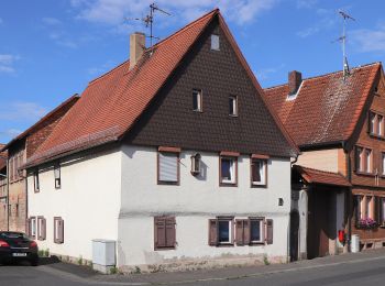
![Trail On foot Großostheim - Rundwanderweg Pflaumheim 1 : Wartturm-Weg - Photo](https://media.geolcdn.com/t/350/260/f233c923-e1e6-4241-ba78-ebdc612e6b70.jpeg&format=jpg&maxdim=2)
![On foot On foot](https://static1.geolcdn.com/sitytour/trail-icons/100.png)
Km
On foot
![](/images/other/stat-length.png)
![](https://static1.geolcdn.com/siteimages/upload/files/1508320355ic_sort_den_pos_24dp.png)
![](https://static1.geolcdn.com/siteimages/upload/files/1508320355ic_sort_den_neg_24dp.png)
![](https://static1.geolcdn.com/siteimages/upload/files/16400158638029165_repeat_loop_refresh_sync_direction_icon.png)
• Trail created by Geo-Naturpark Bergstraße-Odenwald.
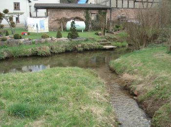
![Trail On foot Heinrichsthaler Forst - Örtlicher Wanderweg Wiesthal 2 - Photo](https://media.geolcdn.com/t/350/260/a73328f4-f1d2-40d3-81b2-cec67c9182ba.jpeg&format=jpg&maxdim=2)
![On foot On foot](https://static1.geolcdn.com/sitytour/trail-icons/100.png)
Km
On foot
![](/images/other/stat-length.png)
![](https://static1.geolcdn.com/siteimages/upload/files/1508320355ic_sort_den_pos_24dp.png)
![](https://static1.geolcdn.com/siteimages/upload/files/1508320355ic_sort_den_neg_24dp.png)
![](https://static1.geolcdn.com/siteimages/upload/files/16400158638029165_repeat_loop_refresh_sync_direction_icon.png)
• Trail created by Wanderverein Wanderfreunde Wiesthal.
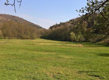
![Trail On foot Dammbach - Ortswanderweg Dammbach 1 - Photo](https://media.geolcdn.com/t/350/260/93a97ab8-0629-4862-835c-3ccba16e65be.jpeg&format=jpg&maxdim=2)
![On foot On foot](https://static1.geolcdn.com/sitytour/trail-icons/100.png)
Km
On foot
![](/images/other/stat-length.png)
![](https://static1.geolcdn.com/siteimages/upload/files/1508320355ic_sort_den_pos_24dp.png)
![](https://static1.geolcdn.com/siteimages/upload/files/1508320355ic_sort_den_neg_24dp.png)
![](https://static1.geolcdn.com/siteimages/upload/files/16400158638029165_repeat_loop_refresh_sync_direction_icon.png)
• Trail created by Spessartbund. Symbol: Schwarzes D1 auf weißem Grund
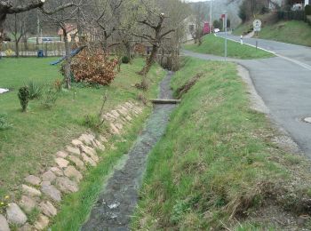
![Trail On foot Heinrichsthaler Forst - Nordic Walking 1 Habichsthal - Photo](https://media.geolcdn.com/t/350/260/e0a239ff-b4a4-416e-b8e6-2be493b78fa8.jpeg&format=jpg&maxdim=2)
![On foot On foot](https://static1.geolcdn.com/sitytour/trail-icons/100.png)
Km
On foot
![](/images/other/stat-length.png)
![](https://static1.geolcdn.com/siteimages/upload/files/1508320355ic_sort_den_pos_24dp.png)
![](https://static1.geolcdn.com/siteimages/upload/files/1508320355ic_sort_den_neg_24dp.png)
![](https://static1.geolcdn.com/siteimages/upload/files/16400158638029165_repeat_loop_refresh_sync_direction_icon.png)
• Symbol: Walker in der Natur, Blaue Habichsthal 1
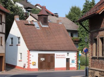
![Trail On foot Johannesberg - Roter Hase Rundwanderweg Johannesberg - Photo](https://media.geolcdn.com/t/350/260/cc3587dc-8766-4d75-a554-77ecd178dfac.jpeg&format=jpg&maxdim=2)
![On foot On foot](https://static1.geolcdn.com/sitytour/trail-icons/100.png)
Km
On foot
![](/images/other/stat-length.png)
![](https://static1.geolcdn.com/siteimages/upload/files/1508320355ic_sort_den_pos_24dp.png)
![](https://static1.geolcdn.com/siteimages/upload/files/1508320355ic_sort_den_neg_24dp.png)
![](https://static1.geolcdn.com/siteimages/upload/files/16400158638029165_repeat_loop_refresh_sync_direction_icon.png)
• Trail created by Naturpark Spessart. Symbol: Roter Hase auf weißem Grund
![Trail On foot Johannesberg - Ortswanderweg Johannesberg 1 - Photo](https://media.geolcdn.com/t/350/260/45f74531-bc9e-4201-afd7-a233b903d546.jpeg&format=jpg&maxdim=2)
![On foot On foot](https://static1.geolcdn.com/sitytour/trail-icons/100.png)
Km
On foot
![](/images/other/stat-length.png)
![](https://static1.geolcdn.com/siteimages/upload/files/1508320355ic_sort_den_pos_24dp.png)
![](https://static1.geolcdn.com/siteimages/upload/files/1508320355ic_sort_den_neg_24dp.png)
![](https://static1.geolcdn.com/siteimages/upload/files/16400158638029165_repeat_loop_refresh_sync_direction_icon.png)
• Trail created by Spessartbund. Symbol: Schwarzes J1 auf weißem Grund
![Trail On foot Heinrichsthaler Forst - Nordic Walking 2 Habichsthal - Photo](https://media.geolcdn.com/t/350/260/e0a239ff-b4a4-416e-b8e6-2be493b78fa8.jpeg&format=jpg&maxdim=2)
![On foot On foot](https://static1.geolcdn.com/sitytour/trail-icons/100.png)
Km
On foot
![](/images/other/stat-length.png)
![](https://static1.geolcdn.com/siteimages/upload/files/1508320355ic_sort_den_pos_24dp.png)
![](https://static1.geolcdn.com/siteimages/upload/files/1508320355ic_sort_den_neg_24dp.png)
![](https://static1.geolcdn.com/siteimages/upload/files/16400158638029165_repeat_loop_refresh_sync_direction_icon.png)
• Symbol: Walker in der Natur, Rote Habichsthal 2
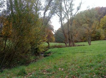
![Trail On foot Geiselbach - Ortswanderweg Geiselbach 1 - Photo](https://media.geolcdn.com/t/350/260/9c0eeeb7-1a73-4652-bc0f-e39102f5eb1e.jpeg&format=jpg&maxdim=2)
![On foot On foot](https://static1.geolcdn.com/sitytour/trail-icons/100.png)
Km
On foot
![](/images/other/stat-length.png)
![](https://static1.geolcdn.com/siteimages/upload/files/1508320355ic_sort_den_pos_24dp.png)
![](https://static1.geolcdn.com/siteimages/upload/files/1508320355ic_sort_den_neg_24dp.png)
![](https://static1.geolcdn.com/siteimages/upload/files/16400158638029165_repeat_loop_refresh_sync_direction_icon.png)
• Trail created by Spessartbund. Symbol: Schwarze G1 auf weißem Grund
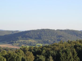
![Trail On foot Krombach - Ortswanderweg Mömbris 1 - Photo](https://media.geolcdn.com/t/350/260/6f769473-5b8f-49e9-b452-87f11bcef75a.jpeg&format=jpg&maxdim=2)
![On foot On foot](https://static1.geolcdn.com/sitytour/trail-icons/100.png)
Km
On foot
![](/images/other/stat-length.png)
![](https://static1.geolcdn.com/siteimages/upload/files/1508320355ic_sort_den_pos_24dp.png)
![](https://static1.geolcdn.com/siteimages/upload/files/1508320355ic_sort_den_neg_24dp.png)
![](https://static1.geolcdn.com/siteimages/upload/files/16400158638029165_repeat_loop_refresh_sync_direction_icon.png)
• Trail created by Spessartbund. Symbol: weißes Schild mit sehr feinem, schwarzen Rahmen, in schwarz beschriftet, oben...
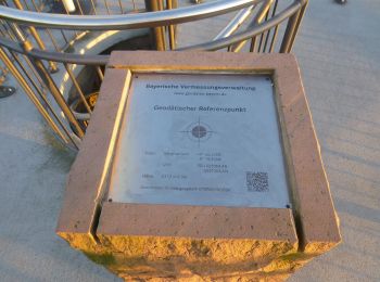
![Trail On foot Dammbach - Roter Schmetterling, Rundwanderweg Geishöhe - Photo](https://media.geolcdn.com/t/350/260/39421771-6cea-45c1-a35b-2055701532fa.jpeg&format=jpg&maxdim=2)
![On foot On foot](https://static1.geolcdn.com/sitytour/trail-icons/100.png)
Km
On foot
![](/images/other/stat-length.png)
![](https://static1.geolcdn.com/siteimages/upload/files/1508320355ic_sort_den_pos_24dp.png)
![](https://static1.geolcdn.com/siteimages/upload/files/1508320355ic_sort_den_neg_24dp.png)
![](https://static1.geolcdn.com/siteimages/upload/files/16400158638029165_repeat_loop_refresh_sync_direction_icon.png)
• Trail created by Naturpark Spessart. Symbol: Roter Schmetterling auf weißem Grund
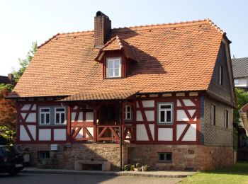
![Trail On foot Schöllkrippen - Ortswanderweg Schöllkrippen 5 - Photo](https://media.geolcdn.com/t/350/260/68d43913-415a-49c5-aedc-fb5e6da31c5d.jpeg&format=jpg&maxdim=2)
![On foot On foot](https://static1.geolcdn.com/sitytour/trail-icons/100.png)
Km
On foot
![](/images/other/stat-length.png)
![](https://static1.geolcdn.com/siteimages/upload/files/1508320355ic_sort_den_pos_24dp.png)
![](https://static1.geolcdn.com/siteimages/upload/files/1508320355ic_sort_den_neg_24dp.png)
![](https://static1.geolcdn.com/siteimages/upload/files/16400158638029165_repeat_loop_refresh_sync_direction_icon.png)
• Trail created by Spessartbund. Symbol: Schwarzes S5 auf weißem Grund
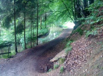
![Trail On foot Mömbris - Genuss pur Mömbriser Wirte - Photo](https://media.geolcdn.com/t/350/260/f3966329-72c1-443a-b6e1-adb5ba3a6afe.jpeg&format=jpg&maxdim=2)
![On foot On foot](https://static1.geolcdn.com/sitytour/trail-icons/100.png)
Km
On foot
![](/images/other/stat-length.png)
![](https://static1.geolcdn.com/siteimages/upload/files/1508320355ic_sort_den_pos_24dp.png)
![](https://static1.geolcdn.com/siteimages/upload/files/1508320355ic_sort_den_neg_24dp.png)
![](https://static1.geolcdn.com/siteimages/upload/files/16400158638029165_repeat_loop_refresh_sync_direction_icon.png)
• Trail created by Gemeinde Mömbris. Symbol: Text: Wandern mit "Genuss pur"
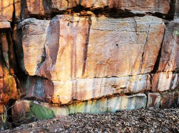
![Trail On foot Hösbach - Sailauf Rundwanderweg 7 - Photo](https://media.geolcdn.com/t/350/260/7d643654-5923-4218-b7aa-24f4197b650b.jpeg&format=jpg&maxdim=2)
![On foot On foot](https://static1.geolcdn.com/sitytour/trail-icons/100.png)
Km
On foot
![](/images/other/stat-length.png)
![](https://static1.geolcdn.com/siteimages/upload/files/1508320355ic_sort_den_pos_24dp.png)
![](https://static1.geolcdn.com/siteimages/upload/files/1508320355ic_sort_den_neg_24dp.png)
![](https://static1.geolcdn.com/siteimages/upload/files/16400158638029165_repeat_loop_refresh_sync_direction_icon.png)
• Trail created by Wanderverein Sailauf Spessartfreunde.
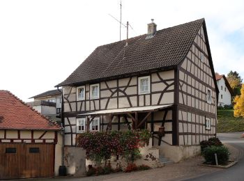
![Trail On foot Kleinostheim - Kulturweg Kleinostheim - Photo](https://media.geolcdn.com/t/350/260/e88bec4e-92ba-489b-a2a6-fe5520b2694b.jpeg&format=jpg&maxdim=2)
![On foot On foot](https://static1.geolcdn.com/sitytour/trail-icons/100.png)
Km
On foot
![](/images/other/stat-length.png)
![](https://static1.geolcdn.com/siteimages/upload/files/1508320355ic_sort_den_pos_24dp.png)
![](https://static1.geolcdn.com/siteimages/upload/files/1508320355ic_sort_den_neg_24dp.png)
![](https://static1.geolcdn.com/siteimages/upload/files/16400158638029165_repeat_loop_refresh_sync_direction_icon.png)
• Trail created by Archäologisches Spessartprojekt. Symbol: Gelbes EU-Schiffchen auf blauem Grund
20 trails displayed on 169
FREE GPS app for hiking
Activities
Nearby regions
- Alzenau
- Bessenbach
- Dammbach
- Forst Hain im Spessart
- Geiselbach
- Glattbach
- Goldbach
- Großostheim
- Haibach
- Heigenbrücken
- Heimbuchenthal
- Heinrichsthal
- Heinrichsthaler Forst
- Hösbach
- Johannesberg
- Kahl am Main
- Karlstein am Main
- Kleinkahl
- Kleinostheim
- Krombach
- Laufach
- Mespelbrunn
- Mömbris
- Rohrbrunner Forst
- Rothenbucher Forst
- Sailauf
- Sailaufer Forst
- Schöllkrippen
- Schöllkrippener Forst
- Sommerkahl
- Stockstadt am Main
- Waldaschaff
- Weibersbrunn
- Westerngrund
- Wiesen
- Wiesener Forst