Illschwang, Landkreis Amberg-Sulzbach, On foot: Best trails, routes and walks

Illschwang: Discover the best trails: 9 on foot. All these trails, routes and outdoor activities are available in our SityTrail applications for smartphones and tablets.


The best trails (9)
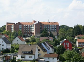
Trail On foot Illschwang - Sulzbach-Rosenberg 2 - Photo
On foot 4.749
Km
GUIDE+

On foot

Easy
Illschwang, Bavaria, Landkreis Amberg-Sulzbach, Germany
4.7 km | 6.1 km-effort
1h 23min
101 m
104 m
No
SityTrail - itinéraires balisés pédestres

• Trail created by Stadt Sulzbach-Rosenberg. abgeschlossen (März 2014, by cycling_zno) Symbol: Schwarze 2 auf gelbem ...
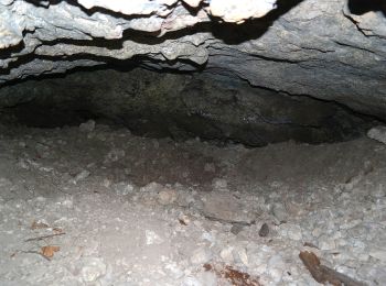
Trail On foot Illschwang - Illschwang Wanderweg 6 - Photo
On foot 7.86
Km
GUIDE+

On foot

Easy
Illschwang, Bavaria, Landkreis Amberg-Sulzbach, Germany
7.9 km | 10.7 km-effort
2h 26min
215 m
212 m
Yes
SityTrail - itinéraires balisés pédestres

• Trail created by Gemeinde Illschwang. abgeschlossen (May 2013 by cycling_zno) Symbol: weiße 6 auf gelben Grund
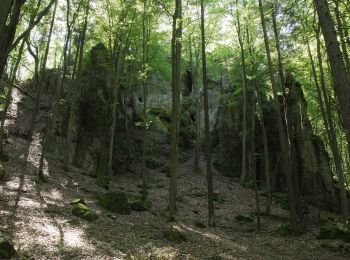
Trail On foot Illschwang - Illschwang Wanderweg 5 - Photo
On foot 14.591
Km
GUIDE+

On foot

Easy
Illschwang, Bavaria, Landkreis Amberg-Sulzbach, Germany
14.6 km | 19.3 km-effort
4h 22min
349 m
357 m
No
SityTrail - itinéraires balisés pédestres

• Trail created by Gemeinde Illschwang. abgeschlossen (May 2013 by cycling_zno) Symbol: weiße 5 auf gelben Grund
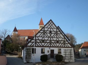
Trail On foot Illschwang - Illschwang Wanderweg 7 - Photo
On foot 22.473
Km
GUIDE+

On foot

Medium
Illschwang, Bavaria, Landkreis Amberg-Sulzbach, Germany
22 km | 30 km-effort
6h 51min
580 m
582 m
Yes
SityTrail - itinéraires balisés pédestres

• Trail created by Gemeinde Illschwang. abgeschlossen (Feb 2012 by cycling_zno) Symbol: weiße 7 auf gelben Grund

Trail On foot Illschwang - Illschwang Wanderweg 4 - Photo
On foot 11.181
Km
GUIDE+

On foot

Easy
Illschwang, Bavaria, Landkreis Amberg-Sulzbach, Germany
11.2 km | 15.1 km-effort
3h 25min
292 m
287 m
Yes
SityTrail - itinéraires balisés pédestres

• Trail created by Gemeinde Illschwang. abgeschlossen (Feb 2012 by cycling_zno) Symbol: weiße 4 auf gelben Grund

Trail On foot Illschwang - Illschwang Wanderweg 3 - Photo
On foot 21.745
Km
GUIDE+

On foot

Medium
Illschwang, Bavaria, Landkreis Amberg-Sulzbach, Germany
22 km | 29 km-effort
6h 29min
509 m
510 m
Yes
SityTrail - itinéraires balisés pédestres

• Trail created by Gemeinde Illschwang. abgeschlossen (Feb 2012 by cycling_zno) Symbol: weiße 3 auf gelben Grund

Trail On foot Illschwang - Illschwang Wanderweg 2 - Photo
On foot 14.645
Km
GUIDE+

On foot

Easy
Illschwang, Bavaria, Landkreis Amberg-Sulzbach, Germany
14.6 km | 19.2 km-effort
4h 21min
341 m
336 m
Yes
SityTrail - itinéraires balisés pédestres

• Trail created by Gemeinde Illschwang. abgeschlossen (Feb 2012 by cycling_zno) Symbol: weiße 2 auf gelben Grund

Trail On foot Illschwang - Illschwang Wanderweg 1 - Photo
On foot 6.037
Km
GUIDE+

On foot

Easy
Illschwang, Bavaria, Landkreis Amberg-Sulzbach, Germany
6 km | 8.2 km-effort
1h 51min
161 m
165 m
Yes
SityTrail - itinéraires balisés pédestres

• Trail created by Gemeinde Illschwang. abgeschlossen (Feb 2012 by cycling_zno) Symbol: weiße 1 auf gelben Grund

Trail On foot Illschwang - Illschwang Wanderweg 8 - Photo
On foot 3.376
Km
GUIDE+

On foot

Easy
Illschwang, Bavaria, Landkreis Amberg-Sulzbach, Germany
3.4 km | 4.8 km-effort
1h 5min
108 m
110 m
Yes
SityTrail - itinéraires balisés pédestres

• Trail created by Gemeinde Illschwang. abgeschlossen (Feb 2012 by cycling_zno) Symbol: weiße 8 auf gelben Grund

9 trails displayed on 9

FREE GPS app for hiking

Logo SityTrail SityTrail

IGN / Geographical institutes

Download SityTrail from the App Store Download SityTrail from Google Play

Logo SityTrail SityTrail World

The world is yours!

Download SityTrail from the App Store Download SityTrail from Google Play Download SityTrail on Huawei AppGallery

Activities

Close
My subscriptions