Schnaittenbach, Landkreis Amberg-Sulzbach, On foot: Best trails, routes and walks

Schnaittenbach: Discover the best trails: 4 on foot. All these trails, routes and outdoor activities are available in our SityTrail applications for smartphones and tablets.


The best trails (4)

Trail On foot Schnaittenbach - Bernsteinweg - Photo
On foot 10.704
Km
GUIDE+

On foot

Easy
Schnaittenbach, Bavaria, Landkreis Amberg-Sulzbach, Germany
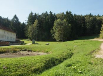
10.7 km | 14.6 km-effort
3h 19min
294 m
296 m
Yes
SityTrail - itinéraires balisés pédestres

• Symbol: Text BS in Schwarz auf weißem Grund

Trail On foot Schnaittenbach - Rundwanderweg Buchberg - Photo
On foot 6.625
Km
GUIDE+

On foot

Easy
Schnaittenbach, Bavaria, Landkreis Amberg-Sulzbach, Germany
6.6 km | 9.1 km-effort
2h 3min
181 m
185 m
Yes
SityTrail - itinéraires balisés pédestres

• Symbol: gelbes Rechteck

Trail On foot Schnaittenbach - Wanderroute Buchbergweg - Photo
On foot 12.58
Km
GUIDE+

On foot

Easy
Schnaittenbach, Bavaria, Landkreis Amberg-Sulzbach, Germany
12.6 km | 14.2 km-effort
3h 13min
72 m
273 m
No
SityTrail - itinéraires balisés pédestres

• Trail created by Oberpfälzer Wald-Verein. Symbol: grüne Raute auf weißem Grund

Trail On foot Schnaittenbach - Wanderroute Ehenbachweg - Photo
On foot 4.77
Km
GUIDE+

On foot

Easy
Schnaittenbach, Bavaria, Landkreis Amberg-Sulzbach, Germany
4.8 km | 5.4 km-effort
1h 13min
42 m
54 m
No
SityTrail - itinéraires balisés pédestres

• Trail created by Oberpfälzer Wald-Verein. completed by stone005

4 trails displayed on 4

FREE GPS app for hiking

Logo SityTrail SityTrail

IGN / Geographical institutes

Download SityTrail from the App Store Download SityTrail from Google Play

Logo SityTrail SityTrail World

The world is yours!

Download SityTrail from the App Store Download SityTrail from Google Play Download SityTrail on Huawei AppGallery

Activities

Close
My subscriptions