


8.1 km | 10.2 km-effort
Gräfendorf: Discover the best trails: 11 on foot. All these trails, routes and outdoor activities are available in our SityTrail applications for smartphones and tablets.
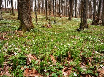
On foot


• Trail created by Naturpark Spessart. Symbol: Schwarzer Fuchs auf weißem Grund
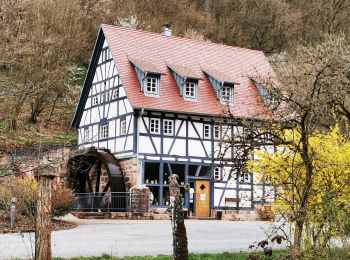
On foot
• Trail created by Naturpark Spessart.
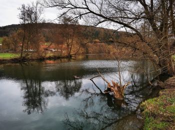
On foot
• Trail created by Spessartbund.
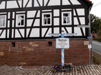
On foot
• Trail created by Naturpark Spessart. Symbol: Roter Schmetterling auf weißem Quadra
On foot
• Trail created by Naturpark Spessart. Symbol: Schwarzer Keiler auf weißem Grund
On foot
• Symbol: Weiße 4 auf blauem Grund
On foot
• Trail created by Spessartbund.
On foot
• Trail created by Spessartbund.

On foot
• Trail created by Naturpark Spessart. Symbol: Rote Schnepfe auf weißem Quadrat
On foot
• Trail created by Spessartbund.
On foot
11 trails displayed on 11
FREE GPS app for hiking
 SityTrail
IGN / Geographical institutes
SityTrail World
The world is yours!