


4.1 km | 5.2 km-effort
Landkreis Pfaffenhofen an der Ilm: Discover the best trails: 21 on foot. All these trails, routes and outdoor activities are available in our SityTrail applications for smartphones and tablets.
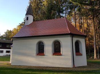
On foot


• Trail created by Waldwandergebiet Reichertshausen, Paunzhausen, Ilmmünster.

On foot
• Trail created by Waldwandergebiet Reichertshausen, Paunzhausen, Ilmmünster.
On foot
• Trail created by Waldwandergebiet Reichertshausen, Paunzhausen, Ilmmünster.
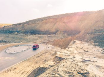
On foot
• Trail created by Waldwandergebiet Reichertshausen, Paunzhausen, Ilmmünster.
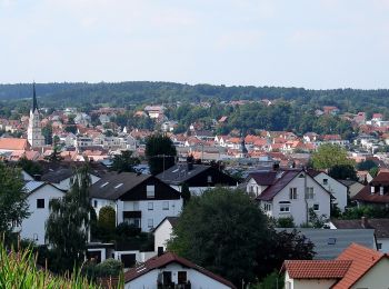
On foot
• Trail created by Waldwandergebiet Reichertshausen, Paunzhausen, Ilmmünster.
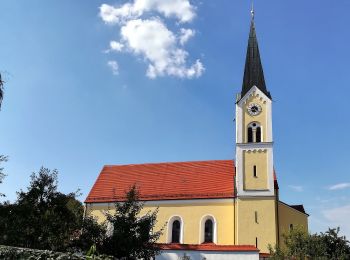
On foot
• Trail created by eQ.
On foot
• Trail created by eQ.
On foot
• Trail created by eQ.
On foot
• Trail created by Gemeinde Wolnzach.
On foot
• Trail created by Altbayrisches Donaumoos eV.. Symbol: roter Pfeil
On foot
On foot
• Trail created by Gemeinde Wolnzach. Website: https://www.wolnzach.de/index.php?id=333,72

On foot
• Website: https://www.wolnzach.de/index.php?id=3554,310
On foot
• Trail created by Waldwandergebiet Reichertshausen, Paunzhausen, Ilmmünster.
On foot
• Trail created by Waldwandergebiet Reichertshausen, Paunzhausen, Ilmmünster.
On foot
On foot
On foot
On foot
On foot
20 trails displayed on 21
FREE GPS app for hiking
 SityTrail
IGN / Geographical institutes
SityTrail World
The world is yours!