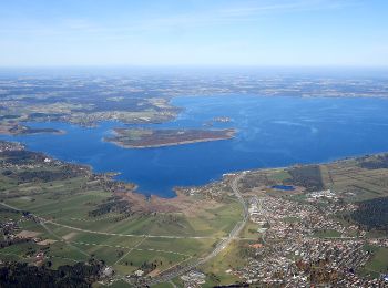
Aschau im Chiemgau, Landkreis Rosenheim, On foot: Best trails, routes and walks

Aschau im Chiemgau: Discover the best trails: 21 on foot. All these trails, routes and outdoor activities are available in our SityTrail applications for smartphones and tablets.


The best trails (21)
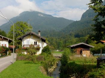
Trail On foot Aschau im Chiemgau - Wanderweg 1 - Von Sachrang nach Walchsee - Photo
On foot 10.046
Km
GUIDE+

On foot

Easy
Aschau im Chiemgau, Bavaria, Landkreis Rosenheim, Germany
10 km | 12.7 km-effort
2h 53min
175 m
280 m
No
SityTrail - itinéraires balisés pédestres

• Trail created by Tourist Info Aschau i.Ch.. Symbol: Grüne Schilder mit weißer Schrift
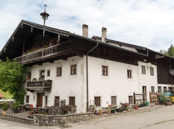
Trail On foot Aschau im Chiemgau - Öko-Kultur-Weg - Photo
On foot 5.374
Km
GUIDE+

On foot

Easy
Aschau im Chiemgau, Bavaria, Landkreis Rosenheim, Germany
5.4 km | 7.8 km-effort
1h 46min
186 m
175 m
No
SityTrail - itinéraires balisés pédestres

• Symbol: Holzschilder mit der Aufschrift "Öko-Kultur-Weg" oder hellblaue Blechschilder mit weißen Silouetten von Kirch...
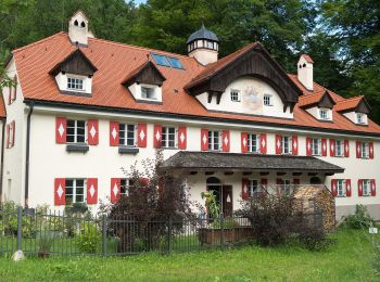
Trail On foot Aschau im Chiemgau - Wanderweg 10 - Aschau - Photo
On foot 7.494
Km
GUIDE+

On foot

Easy
Aschau im Chiemgau, Bavaria, Landkreis Rosenheim, Germany
7.5 km | 16.7 km-effort
3h 47min
885 m
111 m
No
SityTrail - itinéraires balisés pédestres

• Trail created by Tourist Info Aschau i.Ch..
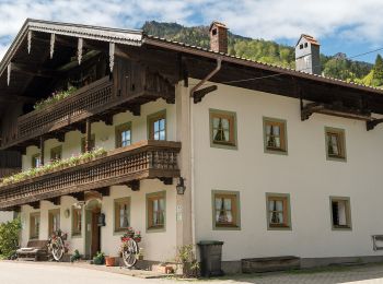
Trail On foot Aschau im Chiemgau - Wanderweg 8 - Von Innerwald zum Spitzsteinhaus bzw. Klausenhütte - Photo
On foot 4.43
Km
GUIDE+

On foot

Easy
Aschau im Chiemgau, Bavaria, Landkreis Rosenheim, Germany
4.4 km | 12 km-effort
2h 43min
696 m
183 m
No
SityTrail - itinéraires balisés pédestres

• Trail created by Tourist Info Aschau i.Ch.. Symbol: Orange Blechschilder mit der Zahl 8 oder gelbe Wegweisschilder
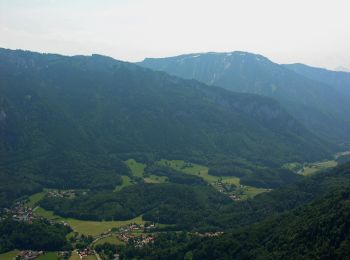
Trail On foot Aschau im Chiemgau - eon - Trail - Photo
On foot 8.032
Km
GUIDE+

On foot

Easy
Aschau im Chiemgau, Bavaria, Landkreis Rosenheim, Germany
8 km | 10.1 km-effort
2h 17min
155 m
156 m
Yes
SityTrail - itinéraires balisés pédestres

• Trail created by DSV nordic aktiv Ausbildungszentrum. Symbol: Rotes Schild mit weißem Pfeil
Trail On foot Aschau im Chiemgau - Petrusquelle - Trail - Photo
On foot 4.317
Km
GUIDE+

On foot

Easy
Aschau im Chiemgau, Bavaria, Landkreis Rosenheim, Germany
4.3 km | 5.3 km-effort
1h 12min
78 m
76 m
Yes
SityTrail - itinéraires balisés pédestres

• Trail created by DSV nordic aktiv Ausbildungszentrum. Symbol: Blaues Schild mit weißem Pfeil
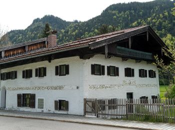
Trail On foot Aschau im Chiemgau - eon - Trail - Photo
On foot 4.193
Km
GUIDE+

On foot

Easy
Aschau im Chiemgau, Bavaria, Landkreis Rosenheim, Germany
4.2 km | 6.2 km-effort
1h 24min
151 m
149 m
Yes
SityTrail - itinéraires balisés pédestres

• Trail created by DSV nordic aktiv Ausbildungszentrum. Symbol: Rotes Schild mit weißem Pfeil
Trail On foot Aschau im Chiemgau - HAAS - Trail - Photo
On foot 10.655
Km
GUIDE+

On foot

Easy
Aschau im Chiemgau, Bavaria, Landkreis Rosenheim, Germany
10.7 km | 17 km-effort
3h 52min
480 m
472 m
Yes
SityTrail - itinéraires balisés pédestres

• Trail created by DSV nordic aktiv Ausbildungszentrum. Symbol: Schwarzes Schild mit weißem Pfeil

Trail On foot Aschau im Chiemgau - Wanderweg 21 - Über`s Wasserthal Schwarzenstein - Photo
On foot 7.722
Km
GUIDE+

On foot

Easy
Aschau im Chiemgau, Bavaria, Landkreis Rosenheim, Germany
7.7 km | 11.9 km-effort
2h 42min
309 m
332 m
No
SityTrail - itinéraires balisés pédestres

• Trail created by Tourist Info Aschau i.Ch.. Symbol: Rote Schilder mit weißer Schrift

Trail On foot Aschau im Chiemgau - Wanderweg 25 - Über die
On foot 5.44
Km
GUIDE+

On foot

Easy
Aschau im Chiemgau, Bavaria, Landkreis Rosenheim, Germany
5.4 km | 7.1 km-effort
1h 37min
127 m
126 m
Yes
SityTrail - itinéraires balisés pédestres

• Trail created by Tourist Info Aschau i.Ch.. Symbol: Grünes Schild mit weißer Schrift
Trail On foot Aschau im Chiemgau - Wanderweg 22 - Von Aschau auf die Kampenwand - Photo
On foot 9.403
Km
GUIDE+

On foot

Easy
Aschau im Chiemgau, Bavaria, Landkreis Rosenheim, Germany
9.4 km | 18 km-effort
4h 5min
859 m
13 m
No
SityTrail - itinéraires balisés pédestres

• Trail created by Tourist Info Aschau i.Ch.. Symbol: Orange Schilder mit weißer Schrift

Trail On foot Aschau im Chiemgau - Wanderweg 26 - Auf die Hochries - Photo
On foot 12.917
Km
GUIDE+

On foot

Medium
Aschau im Chiemgau, Bavaria, Landkreis Rosenheim, Germany
12.9 km | 22 km-effort
5h 4min
661 m
837 m
No
SityTrail - itinéraires balisés pédestres

• Trail created by Tourist Info Aschau i.Ch..
Trail On foot Aschau im Chiemgau - Wanderweg 20 - Über die Kampenwand zum Geigelstein - Photo
On foot 24.368
Km
GUIDE+

On foot

Very difficult
Aschau im Chiemgau, Bavaria, Landkreis Rosenheim, Germany
24 km | 44 km-effort
10h 5min
1472 m
1603 m
No
SityTrail - itinéraires balisés pédestres

• Trail created by Tourist Info Aschau i.Ch.. Symbol: Orange Schilder mit weißer Schrift
Trail On foot Aschau im Chiemgau - Wanderweg 3 - Von Sachrang zum Geigelstein - Photo
On foot 9.513
Km
GUIDE+

On foot

Easy
Aschau im Chiemgau, Bavaria, Landkreis Rosenheim, Germany
9.5 km | 17.3 km-effort
3h 56min
579 m
604 m
No
SityTrail - itinéraires balisés pédestres

• Trail created by Tourist Info Aschau i.Ch.. Symbol: Orange Schilder mit weißer Schrift
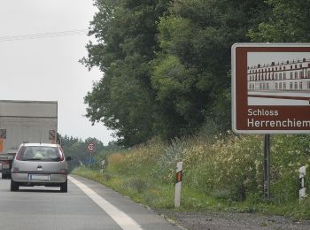
Trail On foot Aschau im Chiemgau - Wanderweg 24 - Rund um den Bärnsee - Photo
On foot 8.77
Km
GUIDE+

On foot

Easy
Aschau im Chiemgau, Bavaria, Landkreis Rosenheim, Germany
8.8 km | 11.2 km-effort
2h 32min
179 m
178 m
Yes
SityTrail - itinéraires balisés pédestres

• Trail created by Tourist Info Aschau i.Ch.. Symbol: Grünes Schild mit weißer Schrift

Trail On foot Aschau im Chiemgau - Wanderweg 6 - Von Sachrang zum Spitzstein - Photo
On foot 8.347
Km
GUIDE+

On foot

Easy
Aschau im Chiemgau, Bavaria, Landkreis Rosenheim, Germany
8.3 km | 15.8 km-effort
3h 35min
561 m
561 m
Yes
SityTrail - itinéraires balisés pédestres

Trail On foot Aschau im Chiemgau - Wanderweg 4 - Bernau - Photo
On foot 6.671
Km
GUIDE+

On foot

Easy
Aschau im Chiemgau, Bavaria, Landkreis Rosenheim, Germany
6.7 km | 8.5 km-effort
1h 55min
19 m
481 m
No
SityTrail - itinéraires balisés pédestres

• Symbol: Roter Kreis mit Zahl

Trail On foot Aschau im Chiemgau - Wanderweg 23 - Rund um den Haindorfer Berg - Photo
On foot 7.36
Km
GUIDE+

On foot

Easy
Aschau im Chiemgau, Bavaria, Landkreis Rosenheim, Germany
7.4 km | 12.4 km-effort
2h 48min
381 m
365 m
Yes
SityTrail - itinéraires balisés pédestres

• Trail created by Tourist Info Aschau i.Ch..

Trail On foot Aschau im Chiemgau - Salzsalinenweg - Photo
On foot 3.591
Km
GUIDE+

On foot

Easy
Aschau im Chiemgau, Bavaria, Landkreis Rosenheim, Germany
3.6 km | 4.7 km-effort
1h 4min
27 m
261 m
No
SityTrail - itinéraires balisés pédestres

• Symbol: Weiße Schilder mit blauem Schriftzug "Salzsalinenweg"

Trail On foot Aschau im Chiemgau - Wanderweg 12 - Prientalwanderweg - Photo
On foot 13.083
Km
GUIDE+

On foot

Easy
Aschau im Chiemgau, Bavaria, Landkreis Rosenheim, Germany
13.1 km | 16.8 km-effort
3h 48min
242 m
384 m
No
SityTrail - itinéraires balisés pédestres

• Trail created by Tourist Info Aschau i.Ch.. Symbol: Grüne Schilder mit weißer Schrift

20 trails displayed on 21

FREE GPS app for hiking

Logo SityTrail SityTrail

IGN / Geographical institutes

Download SityTrail from the App Store Download SityTrail from Google Play

Logo SityTrail SityTrail World

The world is yours!

Download SityTrail from the App Store Download SityTrail from Google Play Download SityTrail on Huawei AppGallery

Activities

Close
My subscriptions