Brannenburg, Landkreis Rosenheim, On foot: Best trails, routes and walks

Brannenburg: Discover the best trails: 17 on foot. All these trails, routes and outdoor activities are available in our SityTrail applications for smartphones and tablets.


The best trails (17)
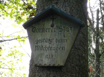
Trail On foot Brannenburg - BF6 - Über Stock und Stein - Photo
On foot 15.973
Km
GUIDE+

On foot

Medium
Brannenburg, Bavaria, Landkreis Rosenheim, Germany
16 km | 27 km-effort
6h 4min
807 m
802 m
Yes
SityTrail - itinéraires balisés pédestres

• Trail created by Gemeinde Fischbachau; Gemeinde Bad Feilnbach; Gemeinde Brannenburg. Symbol: Gelbe Wegweisschilder

Trail On foot Brannenburg - Petrusquelle - Trail - Photo
On foot 4.44
Km
GUIDE+

On foot

Easy
Brannenburg, Bavaria, Landkreis Rosenheim, Germany
4.4 km | 5.4 km-effort
1h 14min
76 m
69 m
Yes
SityTrail - itinéraires balisés pédestres

• Trail created by DSV nordic aktiv WALKING ZENTRUM. Symbol: Blaues Schild mit weißem Pfeil
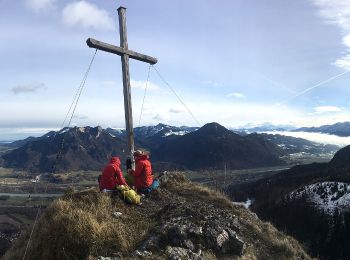
Trail On foot Brannenburg - OEL CHECK - Trail - Photo
On foot 9.756
Km
GUIDE+

On foot

Easy
Brannenburg, Bavaria, Landkreis Rosenheim, Germany
9.8 km | 12.7 km-effort
2h 53min
223 m
215 m
Yes
SityTrail - itinéraires balisés pédestres

• Trail created by DSV nordic aktiv WALKING ZENTRUM. Symbol: Rotes Schild mit weißem Pfeil
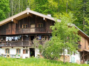
Trail On foot Brannenburg - HAAS - Trail - Photo
On foot 8.792
Km
GUIDE+

On foot

Easy
Brannenburg, Bavaria, Landkreis Rosenheim, Germany
8.8 km | 12.7 km-effort
2h 52min
290 m
293 m
Yes
SityTrail - itinéraires balisés pédestres

• Trail created by DSV nordic aktiv WALKING ZENTRUM. Symbol: Schwarzes Schild mit weißem Pfeil

Trail On foot Brannenburg - Wanderweg 0 - Brannenburg - Photo
On foot 4.36
Km
GUIDE+

On foot

Easy
Brannenburg, Bavaria, Landkreis Rosenheim, Germany
4.4 km | 7.6 km-effort
1h 43min
236 m
252 m
Yes
SityTrail - itinéraires balisés pédestres

• Trail created by Gemeinde Brannenburg. Symbol: Roter Text auf gelbem Hintergrund
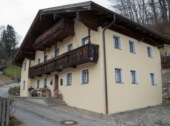
Trail On foot Brannenburg - Wanderweg 5 - Brannenburg - Photo
On foot 4.297
Km
GUIDE+

On foot

Easy
Brannenburg, Bavaria, Landkreis Rosenheim, Germany
4.3 km | 6.7 km-effort
1h 31min
180 m
175 m
Yes
SityTrail - itinéraires balisés pédestres

• Trail created by Gemeinde Brannenburg. Symbol: Roter Text auf gelbem Hintergrund
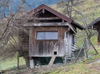
Trail On foot Brannenburg - Wanderweg 6 - Brannenburg - Photo
On foot 3.029
Km
GUIDE+

On foot

Easy
Brannenburg, Bavaria, Landkreis Rosenheim, Germany
3 km | 4.9 km-effort
1h 7min
140 m
147 m
Yes
SityTrail - itinéraires balisés pédestres

• Trail created by Gemeinde Brannenburg. Symbol: Roter Text auf gelbem Hintergrund
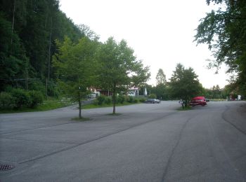
Trail On foot Brannenburg - Kulturverführung Degerndorf - Photo
On foot 4.733
Km
GUIDE+

On foot

Easy
Brannenburg, Bavaria, Landkreis Rosenheim, Germany
4.7 km | 5.8 km-effort
1h 19min
83 m
83 m
Yes
SityTrail - itinéraires balisés pédestres

• Symbol: Bronzefahnen

Trail On foot Brannenburg - Wanderweg 9 - Brannenburg - Photo
On foot 10.658
Km
GUIDE+

On foot

Easy
Brannenburg, Bavaria, Landkreis Rosenheim, Germany
10.7 km | 19.2 km-effort
4h 22min
641 m
652 m
Yes
SityTrail - itinéraires balisés pédestres

• Trail created by Gemeinde Brannenburg. Symbol: Roter Text auf gelbem Hintergrund

Trail On foot Brannenburg - Wendelstein - Reindler Alm - Mitteralm - Aipl - Zahnradbahn (Talbahnhof) - Photo
On foot 8.693
Km
GUIDE+

On foot

Medium
Brannenburg, Bavaria, Landkreis Rosenheim, Germany
8.7 km | 21 km-effort
4h 44min
1217 m
2 m
No
SityTrail - itinéraires balisés pédestres

• Trail created by Wendelsteinbahn GmbH. Symbol: Weißes W umrundet von einem weißen Kreis auf blauem Hintergrund
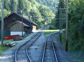
Trail On foot Brannenburg - Wanderweg 8 - Brannenburg - Photo
On foot 7.697
Km
GUIDE+

On foot

Easy
Brannenburg, Bavaria, Landkreis Rosenheim, Germany
7.7 km | 11.3 km-effort
2h 33min
267 m
271 m
Yes
SityTrail - itinéraires balisés pédestres

• Trail created by Gemeinde Brannenburg. Symbol: Roter Text auf gelbem Hintergrund

Trail On foot Brannenburg - BR7 - Brannenburg - Photo
On foot 3.001
Km
GUIDE+

On foot

Easy
Brannenburg, Bavaria, Landkreis Rosenheim, Germany
3 km | 4.7 km-effort
1h 3min
91 m
230 m
No
SityTrail - itinéraires balisés pédestres

• Trail created by Gemeinde Brannenburg. Symbol: Gelbe Wegweisschilder
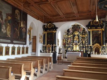
Trail On foot Brannenburg - Wanderweg 1 - Brannenburg - Photo
On foot 4.463
Km
GUIDE+

On foot

Easy
Brannenburg, Bavaria, Landkreis Rosenheim, Germany
4.5 km | 4.9 km-effort
1h 6min
33 m
31 m
Yes
SityTrail - itinéraires balisés pédestres

Trail On foot Brannenburg - Wanderweg 2 - Brannenburg - Photo
On foot 5.863
Km
GUIDE+

On foot

Easy
Brannenburg, Bavaria, Landkreis Rosenheim, Germany
5.9 km | 6.4 km-effort
1h 27min
41 m
40 m
Yes
SityTrail - itinéraires balisés pédestres

Trail On foot Brannenburg - Wanderweg 3 - Brannenburg - Photo
On foot 10.561
Km
GUIDE+

On foot

Easy
Brannenburg, Bavaria, Landkreis Rosenheim, Germany
10.6 km | 11.8 km-effort
2h 40min
90 m
89 m
Yes
SityTrail - itinéraires balisés pédestres

Trail On foot Brannenburg - Wanderweg 9b - Hochsalwand - Photo
On foot 3.835
Km
GUIDE+

On foot

Easy
Brannenburg, Bavaria, Landkreis Rosenheim, Germany
3.8 km | 6.6 km-effort
1h 30min
169 m
326 m
No
SityTrail - itinéraires balisés pédestres

• Symbol: Gelbe Schilder mit roter Zahl

Trail On foot Brannenburg - Wanderweg BR2 - Brannenburg - Photo
On foot 13.961
Km
GUIDE+

On foot

Medium
Brannenburg, Bavaria, Landkreis Rosenheim, Germany
14 km | 25 km-effort
5h 37min
811 m
811 m
Yes
SityTrail - itinéraires balisés pédestres

• Trail created by Gemeinde Brannenburg. Symbol: Gelbe Wegweisschilder mit schwarzer Schrift oder grüne Schilder mit w...

17 trails displayed on 17

FREE GPS app for hiking

Logo SityTrail SityTrail

IGN / Geographical institutes

Download SityTrail from the App Store Download SityTrail from Google Play

Logo SityTrail SityTrail World

The world is yours!

Download SityTrail from the App Store Download SityTrail from Google Play Download SityTrail on Huawei AppGallery

Activities

Close
My subscriptions