


6.4 km | 9.8 km-effort
Oberstdorf: Discover the best trails: 13 on foot and 4 walking. All these trails, routes and outdoor activities are available in our SityTrail applications for smartphones and tablets.
On foot


• Trail created by Tourismus Oberstdorf.
On foot
• Trail created by Tourismus Oberstdorf.
On foot
• Trail created by Tourismus Oberstdorf.

On foot
• Trail created by Tourismus Oberstdorf.
On foot
• Trail created by Tourismus Oberstdorf.
On foot
• Trail created by Tourismus Oberstdorf.

On foot
• Trail created by Tourismus Oberstdorf.
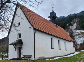
On foot
On foot
Walking
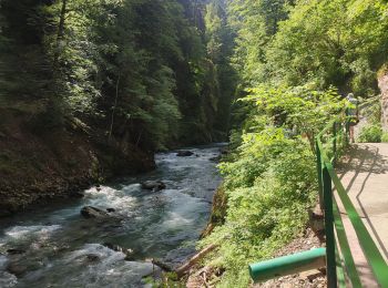
• The Breitachklamm is a gorge created by the river Breitach It is one of the deepest gorges of the Bavarian Alps and t...
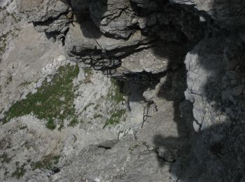
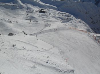
Walking
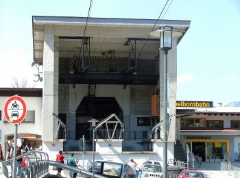
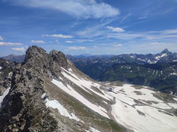
• Went up to the top of the Nebelhorn by cable car and came back on foot to the Höfatsblick mountain station. Walke aro...

On foot
• Trail created by Tourismus Oberstdorf.
On foot
• Trail created by Tourismus Oberstdorf.
On foot
• Trail created by Tourismus Oberstdorf.
On foot
• Trail created by Tourismus Oberstdorf.

Walking
• More information on GPStracks.nl : http://www.gpstracks.nl
Walking
17 trails displayed on 17
FREE GPS app for hiking
 SityTrail
IGN / Geographical institutes
SityTrail World
The world is yours!