


7.1 km | 9.6 km-effort
Viechtach: Discover the best trails: 6 on foot. All these trails, routes and outdoor activities are available in our SityTrail applications for smartphones and tablets.
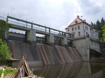
On foot


• Trail created by Tourismusverband Viechtach. Symbol: Roter Punkt mit weißer Eins
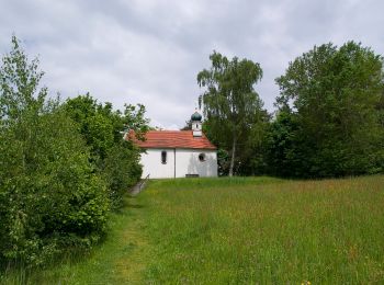
On foot
• Trail created by Tourismusverband Viechtach. Symbol: Roter Punkt mit weißer Fünf
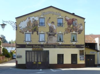
On foot
• Trail created by Tourismusverband Viechtach. Symbol: Roter Punkt mit weißer Drei
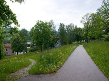
On foot
• Trail created by Tourismusverband Viechtach. Symbol: Roter Punkt mit weißer Dreizehn
On foot
• Trail created by Tourismusverband Viechtach. Symbol: Roter Punkt mit weißer Vier

On foot
• Trail created by Stadt Viechtach - Gemeinde Drachselsried ?. Symbol: Blaues Rechteck mit weißer 10
6 trails displayed on 6
FREE GPS app for hiking
 SityTrail
IGN / Geographical institutes
SityTrail World
The world is yours!